Key takeaways
- Our fixed fee for up to four sheets is £189, with no VAT to add.
- A drawing must be to scale: plans and drawings must be drawn to an identified scale, and plans must show the direction of northGOV.UK planning practice guidance, Making an application.
- A location plan has its own rules: based on an up-to-date map, at a scale typically of 1:1250 or 1:2500GOV.UK planning practice guidance, Making an application.
- The site boundary is marked in a set way: edged clearly with a red line, including all land needed to carry out the developmentGOV.UK planning practice guidance, Making an application.
- A conversion copies what is on the page. It does not check the dimensions against the building.
What the conversion costs
Our fee is £189 for up to four sheets. A sheet is one drawing page, such as a floor plan, an elevation or a section. For each we redraw the lines to scale, tidy the layers, label the rooms and issue the file in a form a designer or a council can use. See our CAD conversion page for the formats.
More than four sheets is quoted after we see the originals. The cost grows with the amount of detail, not just the number of pages, and we tell you before starting.
Why a scan is not enough
A scan is a picture. It cannot be edited, the scale is often wrong after printing, and thin lines blur. Councils want plans they can measure: plans and drawings must be drawn to an identified scale, and plans must show the direction of northGOV.UK planning practice guidance, Making an application. A scan that has been copied several times, or shrunk to fit a page, is not to scale in any dependable way.
A CAD drawing is built from lines with real coordinates. Once the scale is set it holds when printed, and the drawing can be changed by the next designer without starting again. For a property that has no digital plans, conversion is the least expensive way to get a base to work from. Land Registry guidance adds a point about disclaimers: a plan should not be endorsed 'Do not scale from this drawing' and should include a bar scaleHM Land Registry, Guidance for preparing plans for HM Land Registry applications.
What planning expects of a drawing
A drawing for a planning application has requirements a copy of an old plan may not meet. Location plans: based on an up-to-date map, at a scale typically of 1:1250 or 1:2500GOV.UK planning practice guidance, Making an application. The site boundary: edged clearly with a red line, including all land needed to carry out the developmentGOV.UK planning practice guidance, Making an application. And land owned nearby: a blue line drawn around any other land owned by the applicant, close to or adjoining the siteGOV.UK planning practice guidance, Making an application. The council can also ask for more through its local list: plans and other information may be requested through the local list where it is reasonable to do soGOV.UK planning practice guidance, Making an application.
We apply these when we redraw, so the drawing is ready to use for an application. If the original is missing a north point or a scale bar, we add them from the information available and tell you what we assumed. We draw the red and blue lines only where you give us the boundary evidence, since we cannot invent a boundary.
Accuracy: what a conversion can and cannot do
A conversion is only as good as the source. If the paper plan was wrong in the 1980s, the CAD drawing will be wrong in the same way. We check that dimensions on the page agree with each other and flag anything that does not, but we do not visit the building.
If accuracy matters, for a planning application or a sale, a measured building survey is the better base, and its fee is of the same order. The CAD file can take the surveyed dimensions.
Where a converted drawing leads
Most conversions are the first step. The CAD base goes on to a planning set, a building regulations pack or a feasibility study. Our floor plans service starts from a measured visit and is the alternative when the old drawings cannot be trusted.
Tell us what you intend to do with the drawings, and we will say whether conversion or a fresh survey is the right base.
The figures, with sources
- What plans must show
- plans and drawings must be drawn to an identified scale, and plans must show the direction of northGOV.UK planning practice guidance, Making an applicationChecked 25 October 2026
- Location plan scale
- based on an up-to-date map, at a scale typically of 1:1250 or 1:2500GOV.UK planning practice guidance, Making an applicationChecked 25 October 2026
- The application site on the location plan
- edged clearly with a red line, including all land needed to carry out the developmentGOV.UK planning practice guidance, Making an applicationChecked 25 October 2026
- Other land owned by the applicant
- a blue line drawn around any other land owned by the applicant, close to or adjoining the siteGOV.UK planning practice guidance, Making an applicationChecked 25 October 2026
- Information councils may require with an application
- plans and other information may be requested through the local list where it is reasonable to do soGOV.UK planning practice guidance, Making an applicationChecked 25 October 2026
- Land Registry plan guidance
- a plan should not be endorsed 'Do not scale from this drawing' and should include a bar scaleHM Land Registry, Guidance for preparing plans for HM Land Registry applicationsChecked 25 October 2026
Questions
Can you convert a photograph of a sketch?
Yes, if it has dimensions or a known reference length. A sketch with no dimensions is redrawn to the information available, and we tell you what we assumed.
Will the CAD drawing be exactly to scale?
It will be drawn to the scale you need, from the dimensions on the original. If the original is inaccurate, the drawing will be too, which is why a survey is the safer base for a planning application.
What file formats do you issue?
DWG for editing and PDF for printing and submission. Tell us if you need another format.
Do you need to visit the property?
No, for a conversion. We work from your files. If you want a visit, that is a measured survey.
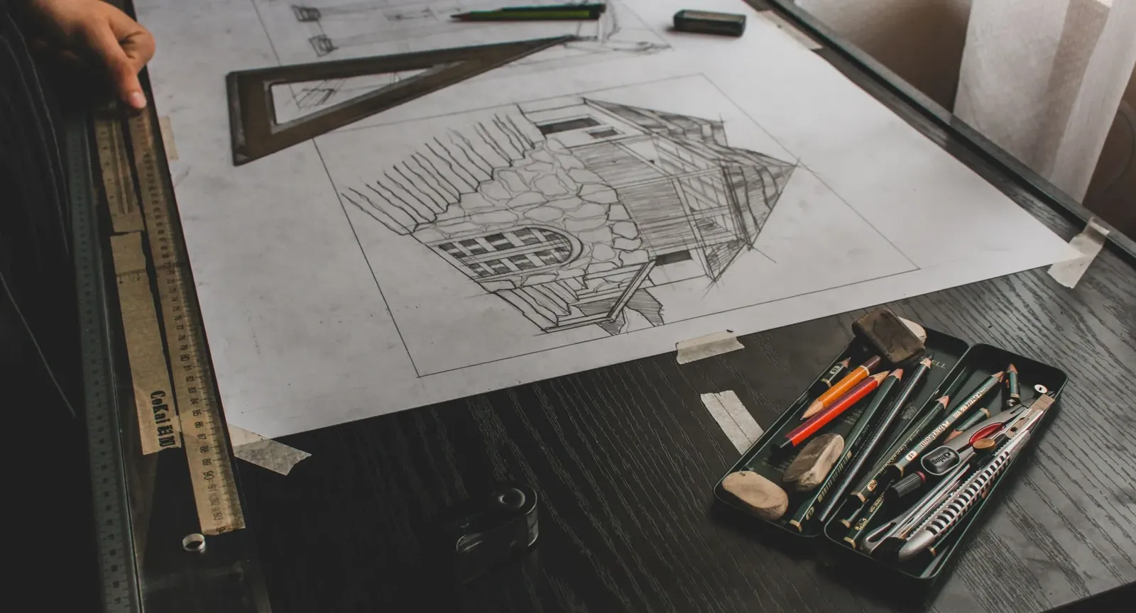
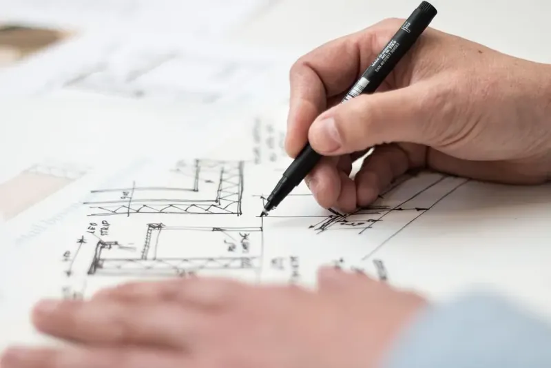
Header photo: A pencil sketch of a house on drawing paper with a set square, scale rule and pencils laid beside it by Czapp Árpád, Pexels License.