
Surveys and design
3D visuals for London homes
A 3D visual is a realistic image or short walkthrough of a design before it is built, produced from the same model as the drawings. We make them for London homeowners, neighbours' meetings and planning officers who want to see a project, not decode it. Fixed quote after a free constraints check.
Fixed quote after a free constraints check
- MCIAT chartered
- £2m PI insured
- LABC Partnered
- Fixed fees, VAT included
Request a fixed quote
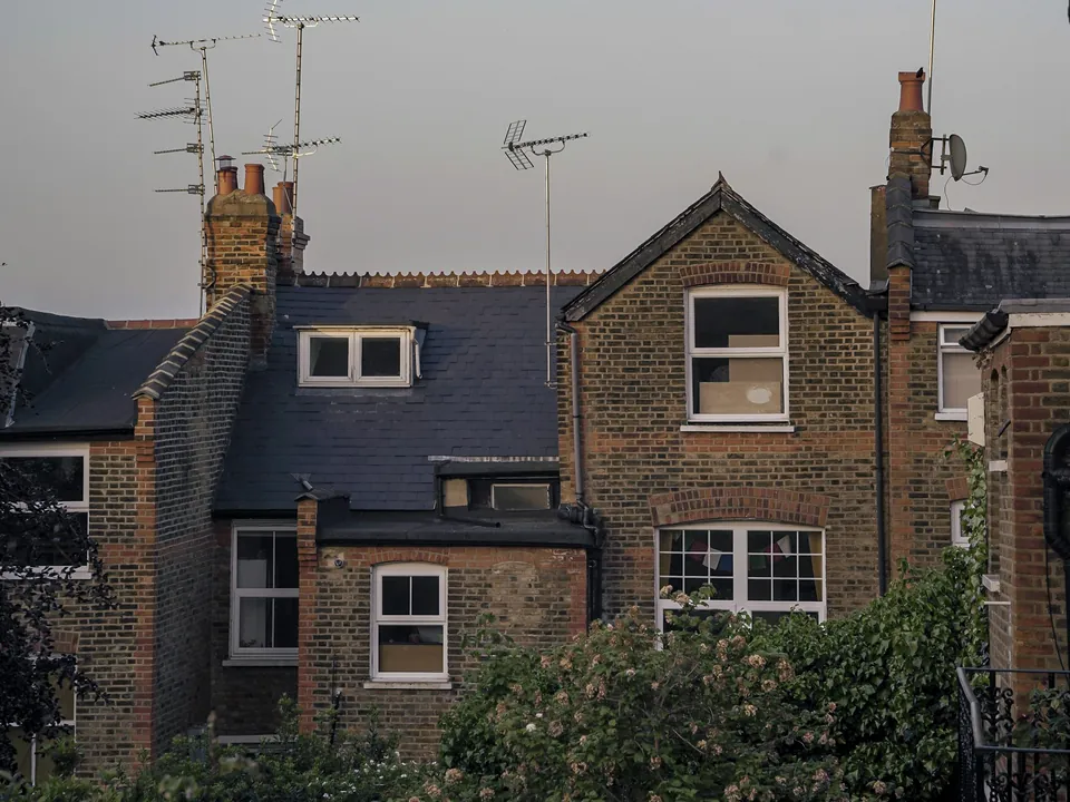
What our 3D visuals are, and what they are for
Many clients first see their project as a floor plan, and a floor plan is a poor guide to how a room will feel. A visual closes that gap. You see the height of the new ceiling, the light from a rooflight and how the extension sits against the back of the house.
Ours come out of the Revit model that also produces the plans, sections and elevations. That matters for honesty: the image cannot show a bigger window than the drawing does, because both read the same geometry. We render with Twinmotion and Enscape, and we choose camera positions that show the design as it will actually be seen.
Visuals do three jobs. They help you choose between options, they help neighbours and officers understand a proposal, and they give builders and kitchen designers a shared picture. They are not a substitute for the technical drawings, and we never use them to hide a problem.
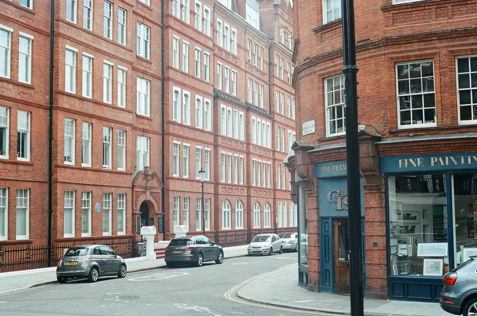
Types of visual we produce
Exterior views show the finished building from the street, the garden and the neighbours' side. We pick angles that test the design rather than flatter it. Materials are applied from real samples where you have them.
Interior views show the space you are paying for: a kitchen-diner with the new doors, a loft room with its sloping ceiling, a stairwell with the extra light. They help you settle layouts before anything is ordered.
Before and after comparisons place the proposed design over a photograph of the existing house from the same viewpoint. They are useful because the change is judged against what is already there. Short walkthroughs move through the model at eye height, which is the quickest way to see whether a circulation route works.
How visuals help with planning, neighbours and heritage
The wider policy context favours clear images. London's strategic plan puts it this way: 3D virtual reality and other interactive digital models should, where possible, inform decision-taking and engage Londoners. The national framework adds: Major proposals should be informed by early engagement with neighbours and the community. For a householder scheme this is guidance rather than a requirement, but a good image makes early conversations easier.
Where a building has heritage value, the framework asks for this: Assessment of effects on heritage significance and setting, proportionate to importance. A before and after view from the street is one of the plainest ways to show setting, and it sits alongside the written heritage work, not in place of it.
Neighbours are consulted for at least 21 days on many applications. Showing them a visual in advance, rather than leaving them to read plans, gives them a clearer picture of the proposal. It does not decide the outcome of any application.
Visuals are not a replacement for scaled drawings
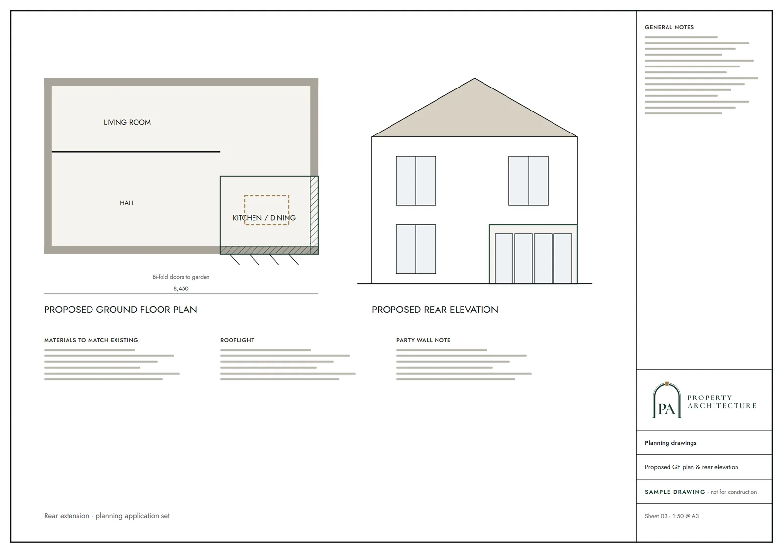
A planning application still needs scaled plans. The national guidance is explicit (Plans and drawings must be drawn to an identified scale and plans must show north), so a render alone never validates an application. Think of the visual as the explanatory layer on top.
The same holds for light. A rendering can show sunshine falling into a room, but it is not a daylight assessment. Where overshadowing is a question, officers apply a geometric test: 45. If your neighbours' windows are close, ask us about our daylight and sunlight report service as well.
What the price depends on
We do not publish a fixed starting price for visuals, because the scope varies far more than it does for drawings. A single exterior view of a rear extension is a short job. A fully furnished interior set with walkthrough takes much longer.
The quote is fixed once we have run the free constraints check and agreed the views with you: how many images, which rooms, whether you want a before and after, and whether the model needs more detail than the drawings already hold. Ordered alongside a planning drawings package, the visuals start from a model that already exists, which we take into account in the quote.
How we make a visual, step by step
First comes a brief: which views, what mood, which materials. If we are drawing the project, the model already exists. If not, we survey the house and model it from scratch, using our measured building survey work as the base.
We then set up cameras and send low-resolution test views for your comments. Changing a camera is quick at this stage. Once you approve the angles we finish the lighting and materials and render the final set. An independent check compares each image with the drawings, so a window or chimney never differs between the two.
Delivery is as image files sized for planning portals, presentations and printing. We keep the model, so a later change, such as a different brick, is a small job rather than a restart.
3D visuals by borough
How much a visual helps depends partly on where the house stands. In a conservation area the street view carries real weight, while in an area of mixed housing a clean interior view may do more. Our council pages show the local designations and householder decision figures behind that judgement. See Camden's planning facts for one example, or browse every area under architectural drawings by area.
The national rules in figures
| Measure | Value | Period | Source |
|---|---|---|---|
| London Plan 2021 Policy D4(B) | 3D virtual reality and other interactive digital models should, where possible, inform decision-taking and engage Londoners | — | london.gov.uk |
| NPPF Aug 2026, policy DM1(1)(a) | Major proposals should be informed by early engagement with neighbours and the community | — | gov.uk |
| NPPF Aug 2026, policy HE5(1) | Assessment of effects on heritage significance and setting, proportionate to importance | — | gov.uk |
| DMPO 2015 art 15: site notice or neighbour notification for not less than 21 days | 21 days | — | legislation.gov.uk |
| PPG Making an application, para 023 | Plans and drawings must be drawn to an identified scale and plans must show north | — | gov.uk |
| Merton Council Small Sites Toolkit 01 Design Guidance (SPG), para 6.1.11, PDF p.44: depth and height of a multi-storey rear projection 'should not exceed 45 degrees measured from the centre of the closest ground floor habitable room' of the neighbour | 45 degrees (plan and elevation) | — | merton.gov.uk |
A blank value means the figure has not been published, not that there are none. Check your own address with the council.
Building regulations, layer by layer
The Approved Documents that shape most house projects, from structure to the application itself.
- A · Part A: structure
- Approved Document A: Structure, 2004 edition incorporating 2004, 2010 and 2013 amendments
- B · Part B: fire safety
- All dwellings: fire detection and alarm system minimum Grade D2 Category LD3 (BS 5839-6), mains-operated smoke alarms to BS EN 14604
- C · Part L: insulation
- New elements in existing dwellings, limiting U-values W/(m²·K): roof 0.15, wall 0.18, floor 0.18, windows 1.4 (or WER Band B), doors 1.4
- D · Part K: stairs
- 2.0 m clear headroom over stairs
- E · Full plans application
- Building control body must decide a full plans application within 5 weeks, or longer if agreed in writing
What you receive
Questions
What is a 3D visual?
It is a realistic image, or a short walkthrough, of a design before it is built. Ours are produced from the same 3D model as the drawings, so the two always agree.
How much do 3D visuals cost?
Fixed quote after a free constraints check. The price depends on the number of views, whether they are interiors or exteriors, and whether the model already exists from a drawing job.
Can a 3D visual replace planning drawings?
No. Councils need scaled plans that show north: Plans and drawings must be drawn to an identified scale and plans must show north. A visual explains the design but does not satisfy that requirement.
Do councils ask for 3D visuals?
Not usually for a householder scheme. Policy does encourage them: 3D virtual reality and other interactive digital models should, where possible, inform decision-taking and engage Londoners. We recommend them where the design is unusual or the street view matters.
Which software do you use?
We model in Autodesk Revit and render with Twinmotion and Enscape. Files can be exchanged in standard formats with builders and consultants.
Sources and dates
- london.gov.uk, retrieved
- gov.uk, retrieved
- legislation.gov.uk, retrieved
- gov.uk, retrieved
- merton.gov.uk, retrieved
- gov.uk, retrieved
- gov.uk, retrieved
- gov.uk, retrieved
- gov.uk, retrieved
- legislation.gov.uk, retrieved
- Contains public sector information licensed under the Open Government Licence v3.0.
- Contains OS data © Crown copyright and database right 2026.
- Contains HM Land Registry data © Crown copyright and database right 2026. This data is licensed under the Open Government Licence v3.0.
- Contains Historic England data © Historic England 2026. Contains Ordnance Survey data © Crown copyright and database right 2026.
Tell us about your property.
We check the constraints, then send a fixed fee. Messages before 3pm get a reply the same working day.