
Planning
Location and block plans in London
Every planning application needs a location plan, and most need a block plan too. Our location and block plans for London homes cost £39 including VAT on their own, and they come free inside every one of our planning packages. The red line is set from a survey, so it matches your boundary.
From £39 (VAT included)
- MCIAT chartered
- £2m PI insured
- LABC Partnered
- Fixed fees, VAT included
Request a fixed quote
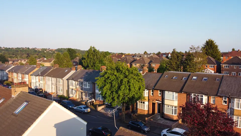
What a location plan and a block plan show
A location plan places the property on an up-to-date Ordnance Survey-style map, so the council and neighbours can see exactly where the site is. A block plan is a close-up of the site itself: the house, its extensions, the boundaries, the access and any trees or outbuildings.
They answer different questions. The location plan says where. The block plan says what sits where, and how close it is to the neighbours. A planning officer checks both before the application is valid, and often again when they judge the impact on adjoining homes.
A location plan is the minimum plan required with every planning application, so an application that lacks one is returned without a decision.
We work from licensed mapping, not screenshots, so the base map is current and the licence line is correct.

Getting the red line and the blue line right
The red line marks the application site. National guidance says it should include all the land needed to carry out the development, such as access to a public highway, visibility splays and parking. Other land you own that is close to or next to the site is edged blue.
Two mistakes come up again and again. The red line stops at the front door and leaves out the path or driveway that connects to the road. Or the owner draws a boundary from memory and includes a strip of a neighbour's garden. Either can make the ownership certificate wrong.
We draw from the measured survey and check the boundary against the deeds you have and the mapping. Where the boundary is unclear, we say so before you sign the certificate. Our planning drawings use the same plans.
If the plot has a shared driveway or an unadopted access track, we show it and note who owns it. Councils often query ownership on shared access, so settling it on the plan saves a validation round.
Scale, north and what the guidance requires
Both plans must be drawn to an identified scale and show north. A scale bar is useful, because printed or scanned copies change size. The table gives the usual location plan scales and the paper sizes the guidance expects.
The scale matters more than people think. A plan drawn to an unusual scale can lead to an application being marked invalid, and the clock does not start until it is valid.
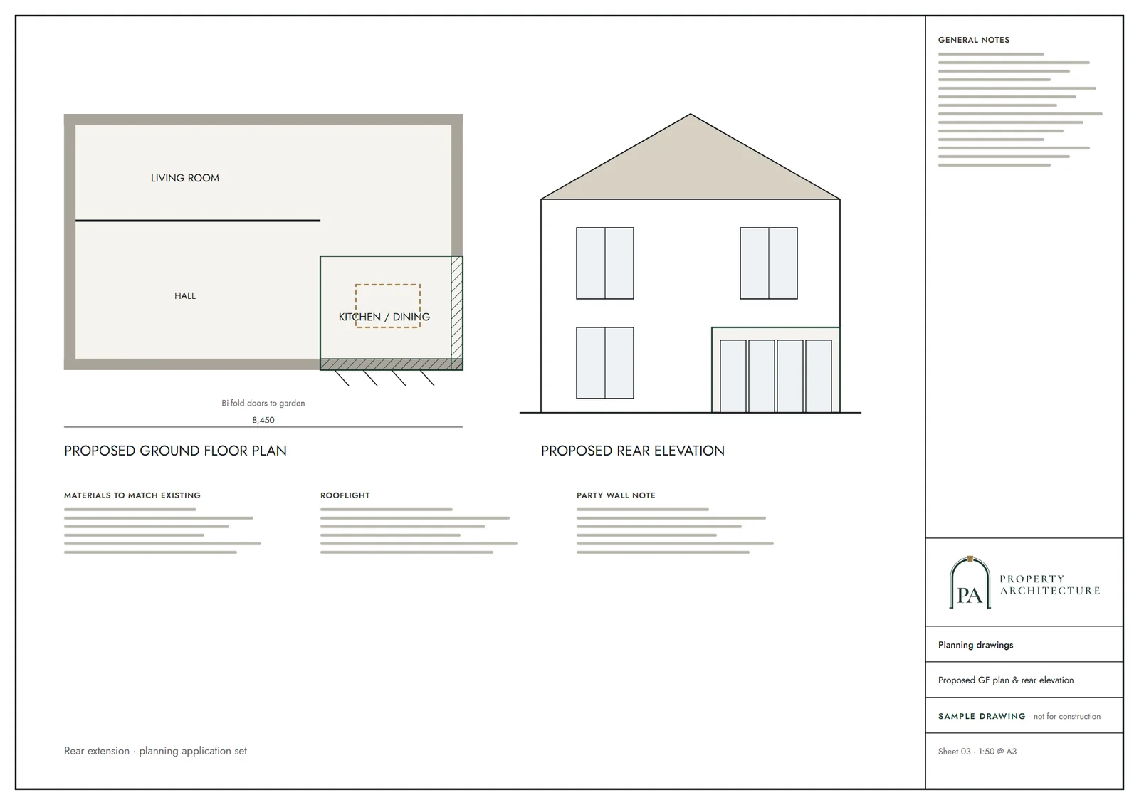
We produce both plans from our drawing standard, so every sheet in your set shares one scale convention, north arrow and legend.
Plans for prior approval and other routes
Location and block plans are not only for householder applications. A larger home extension notification needs a plan indicating the site and the proposal. Lawful Development Certificates rely on them too.
If you are using the prior approval route, see our page on prior approval drawings. For a certificate that proves permitted development, our Lawful Development Certificate page lists which drawings go in.
A change of use also needs both plans, with the building outline marked, even when no extension is proposed.
Price, turnaround and what comes with the plans
Stand-alone location and block plans cost £39 including VAT. If you take any of our planning packages, they are free inside it, so you never pay twice for the same sheet.
We need the address and a short description of the project. If you have a survey, send it. If not, we can arrange a measured building survey and draw the site plan from that, which gives the most defensible boundary.
Each plan is read by someone outside the drafting before it is issued, as with all our sheets.
Common questions about site plans
Owners often ask whether they can use a free online map. The guidance asks for an up-to-date map at a recognised scale, and screenshots rarely meet it.
Others ask if they need a block plan for a small porch. Usually yes, because the officer needs to see the porch against the boundary and the neighbours. We confirm what your council expects in the constraints check, using the local validation list.
The national rules in figures
| Measure | Value | Period | Source |
|---|---|---|---|
| PPG Making an application, para 024 | Typically 1:1250 or 1:2500, on an up-to-date map, scaled to fit A4 or A3 | — | gov.uk |
| PPG Making an application, para 024 | Site edged red, including all land needed for the development (e.g. access to a public highway, visibility splays, parking) | — | gov.uk |
| PPG Making an application, para 024 | Other land owned by the applicant close to or adjoining the site edged blue | — | gov.uk |
| PPG Making an application, para 023 | Drawn to an identified scale; plans show north; a scale bar is useful | — | gov.uk |
| PPG Making an application, para 023 | A location plan is the minimum plan required with every planning application | — | gov.uk |
| Class A, para A.4(2)(b) | Larger home extension notifications need a plan indicating the site and the proposal | — | legislation.gov.uk |
A blank value means the figure has not been published, not that there are none. Check your own address with the council.
Which application your project needs
The usual route for a house; flats and listed buildings follow other rules.
- A · Lawful Development Certificate decision
- 8 weeks
- B · Prior approval decision
- 42 days
- C · Householder decision
- 8 weeks
What you receive
Questions
What is the difference between a location plan and a block plan?
A location plan shows where the site is on a map. A block plan shows the site in detail: the house, extensions, boundaries, access and trees. Most applications need both.
What does the red line mean?
The red line edges the application site, including all land needed to carry out the development, such as access to a public highway. Other land you own nearby is edged in blue.
How much do location and block plans cost?
On their own they cost £39 including VAT, and they are free inside every planning package.
Do plans have to show north?
Yes. Plans must be drawn to an identified scale and show north. A scale bar is also useful.
Can I use a screenshot from an online map?
It is not advisable. The guidance asks for an up-to-date map at a recognised scale, and screenshots often fail on scale or licensing. We draw from proper mapping and a survey.
Sources and dates
- gov.uk, retrieved
- legislation.gov.uk, retrieved
- legislation.gov.uk, retrieved
- legislation.gov.uk, retrieved
- Contains public sector information licensed under the Open Government Licence v3.0.
- Contains OS data © Crown copyright and database right 2026.
- Contains HM Land Registry data © Crown copyright and database right 2026. This data is licensed under the Open Government Licence v3.0.
- Contains Historic England data © Historic England 2026. Contains Ordnance Survey data © Crown copyright and database right 2026.

Tell us about your property.
We check the constraints, then send a fixed fee. Messages before 3pm get a reply the same working day.