
Surveys and design
CAD conversion for London plans
Old paper plans, a scanned PDF or a photographed sketch cannot be edited or submitted as they are. We redraw them as accurate, scaled CAD drawings with a clear layer structure, from £189 for up to four sheets. It suits owners, agents and landlords who need drawings to build on.
From £189, no VAT to add
- MCIAT chartered
- £2m PI insured
- LABC Partnered
- Fixed fees, no VAT to add
Request a fixed quote
The fixed fee for cad conversion
- Fixed fee
- from £189
- Total you pay
- from £189
No VAT to add. The fee is fixed in writing after a free constraints check of your address.
What you get
- Up to four sheets redrawn from your paper or PDF plans
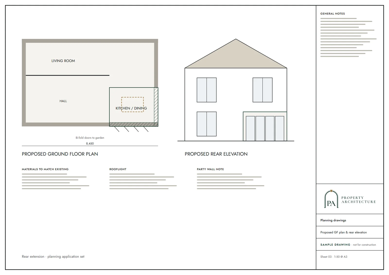
- Drawn to a stated scale with a north point and scale bar
- Clean layers for walls, openings, stairs and text
- Editable CAD files and PDFs
- A note of anything that could not be verified from the source
- Files ready to carry into new drawings
How we work on cad conversion
Seven steps from first call to approval.
Enquiry and constraints check
We check the property against conservation areas, listed status, Article 4 directions, tree preservation orders, flood zone and planning history. We choose the right route and send a fixed quote.
Measured survey
We survey the house on one datum: rooms, levels, boundaries, drains, trees and the neighbours' windows that the 45° and 25° tests depend on.
Design options
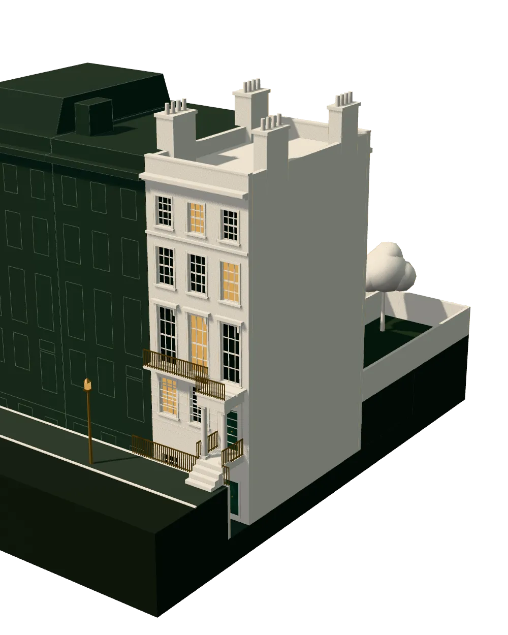
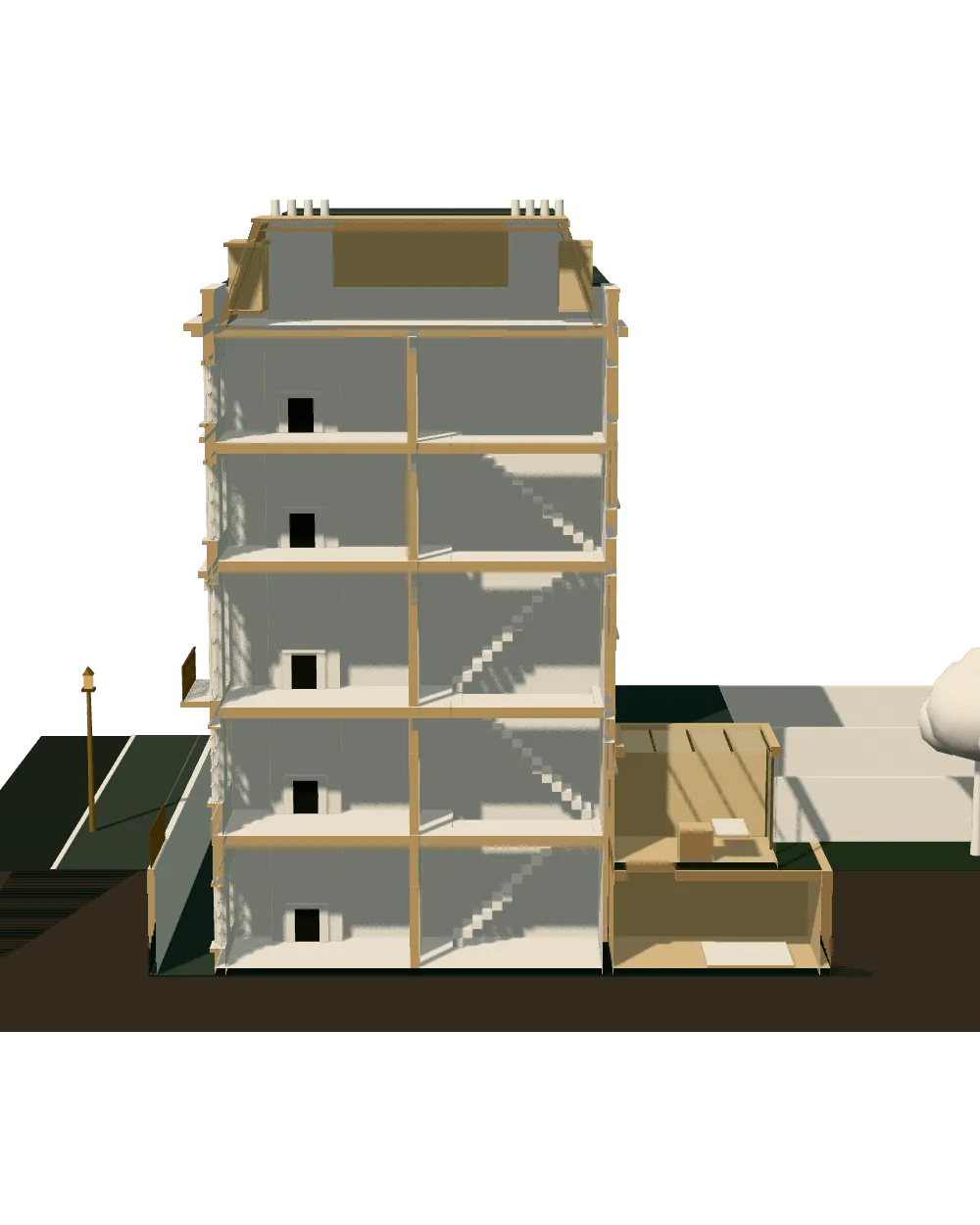
We model the house in Revit and show you options in 3D and plan, with the planning strategy and the precedents in your street.
Design frozen
You choose an option in writing. Nothing changes after this without your say.
Independent check
A second chartered technologist checks every sheet against the council's validation checklist and the policy. A senior review signs it off before anything is submitted.
Submission
We prepare the forms, certificates, fee and documents and submit through the Planning Portal.
Officer liaison
We answer the planning officer and make any amendments within five working days, at no charge until approval.
Free redraws until approval. Every drawing set is checked independently, and the checker is never the person who drew it.
Request a fixed quoteWhen a redraw is what you need
The plans from a past project exist only as a scan. A conveyancing pack contains a floor plan with no dimensions. A builder's sketch is all that remains of a past extension. In each case the drawing is no use to a new designer until it is rebuilt at a known scale.
A converted file also lets you amend instead of starting over. It is a quick way into a new scheme for a house that already has some paperwork.
What planning expects of a drawing
The rules for plans are short. The national guidance says "Any plans or drawings must be drawn to an identified scale, and in the case of plans, must show the direction of north." A scanned plan usually has neither a true scale nor a north point, which is the first thing we fix.
A location plan has its own conventions. Its scale "The scale should typically be 1:1250 or 1:2500." The guidance also says "The application site should be edged clearly with a red line on the location plan," and that "A blue line should be drawn around any other land owned by the applicant." We draw the red and blue lines only where you give us the boundary evidence, since we cannot invent a boundary.
On presentation it adds that "The inclusion of a linear scale bar is also useful." We include one on every sheet, so a printed copy stays honest about size.
What we do with your files
We import the scan, set it to a dimension we can trust, and redraw walls, openings and stairs on separate layers. Where the scan has printed dimensions we use them; where it has none, we say so and mark the sheet as unmeasured.
A redraw cannot be more accurate than its source. If accuracy matters, for a design or a submission, our measured building survey measures the building itself, and the CAD file takes the surveyed dimensions.
Where it leads
A converted set feeds directly into floor plans, planning drawings and elevation and section drawings. Councils can ask for more than the national minimum: they "Councils may request additional plans through their local list of information requirements where it is reasonable to do so." We check your council's list when we take the job on.
Landlords with a portfolio often send a batch of old plans for conversion, so every property has a consistent set. Tell us how many and we will quote per sheet.
How it works
Send your files and tell us what they are for. We tell you whether they can be rebuilt as they are, within a day or two, and what the dimensions will be based on.
We deliver the CAD files and PDFs. The price covers up to four sheets; larger sets are quoted before we start.
The national rules in figures
| Measure | Value | Period | Source |
|---|---|---|---|
| Planning practice guidance, making an application: plans and drawings | Any plans or drawings must be drawn to an identified scale, and in the case of plans, must show the direction of north | — | gov.uk |
| Planning practice guidance, making an application: location plan scale | The scale should typically be 1:1250 or 1:2500 | — | gov.uk |
| Planning practice guidance, making an application: red line | The application site should be edged clearly with a red line on the location plan | — | gov.uk |
| Planning practice guidance, making an application: blue line | A blue line should be drawn around any other land owned by the applicant | — | gov.uk |
| Planning practice guidance, making an application: scale bar | The inclusion of a linear scale bar is also useful | — | gov.uk |
| Planning practice guidance, making an application: local lists | Councils may request additional plans through their local list of information requirements where it is reasonable to do so | — | gov.uk |
A blank value means the figure has not been published, not that there are none. Check your own address with the council.
Building regulations, layer by layer
The Approved Documents that shape most house projects, from structure to the application itself.
- A · Part A: structure
- Approved Document A: Structure, 2004 edition incorporating 2004, 2010 and 2013 amendments
- B · Part B: fire safety
- All dwellings: fire detection and alarm system minimum Grade D2 Category LD3 (BS 5839-6), mains-operated smoke alarms to BS EN 14604
- C · Part L: insulation
- New elements in existing dwellings, limiting U-values W/(m²·K): roof 0.15, wall 0.18, floor 0.18, windows 1.4 (or WER Band B), doors 1.4
- D · Part K: stairs
- 2.0 m clear headroom over stairs
- E · Full plans application
- Building control body must decide a full plans application within 5 weeks, or longer if agreed in writing
What you receive
Questions
Can you convert a photograph of a plan?
Yes, if it is clear and flat. We mark the result as unmeasured unless the original gave dimensions.
Is the redraw accurate enough to submit to the council?
That depends on the source. A drawing with reliable dimensions can be used. Where it cannot, a measured survey is the sounder base.
Which file types do you deliver?
Editable CAD drawings and PDFs. Tell us if you need a particular format.
Do you redraw sections and elevations as well?
Yes. Each sheet counts toward the four sheets in the price.
Sources and dates
- gov.uk, retrieved
- gov.uk, retrieved
- gov.uk, retrieved
- gov.uk, retrieved
- gov.uk, retrieved
- legislation.gov.uk, retrieved
- Contains public sector information licensed under the Open Government Licence v3.0.
- Contains OS data © Crown copyright and database right 2026.
- Contains HM Land Registry data © Crown copyright and database right 2026. This data is licensed under the Open Government Licence v3.0.
- Contains Historic England data © Historic England 2026. Contains Ordnance Survey data © Crown copyright and database right 2026.

Tell us about your property.
We check the constraints, then send a fixed fee. Messages before 3pm get a reply the same working day.