
Planning
Flood risk assessments for London homes
If your site lies in a flood zone, the council will not register a planning application without a flood risk assessment. We arrange a minor householder assessment through an accredited partner and coordinate it with your drawings, from £379. The partner signs the assessment; we make sure it fits the scheme.
From £379, no VAT to add
- MCIAT chartered
- £2m PI insured
- LABC Partnered
- Fixed fees, no VAT to add
Request a fixed quote
The fixed fee for flood risk assessments
- Fixed fee
- from £379
- Total you pay
- from £379
- Council fee
- paid to the council separately
No VAT to add. The fee is fixed in writing after a free constraints check of your address.
What you get
- A check of your flood zone and data sources
- A minor householder flood risk assessment through an accredited partner
- Floor levels and resilience measures coordinated with your drawings
- Help requesting the Environment Agency's site data
- The report ready to submit with your planning application
- Answers to the council's questions about it
How we work on flood risk assessments
Seven steps from first call to approval.
Enquiry and constraints check
We check the property against conservation areas, listed status, Article 4 directions, tree preservation orders, flood zone and planning history. We choose the right route and send a fixed quote.
Measured survey
We survey the house on one datum: rooms, levels, boundaries, drains, trees and the neighbours' windows that the 45° and 25° tests depend on.
Design options
We model the house in Revit and show you options in 3D and plan, with the planning strategy and the precedents in your street.
Design frozen
You choose an option in writing. Nothing changes after this without your say.
Independent check
A second chartered technologist checks every sheet against the council's validation checklist and the policy. A senior review signs it off before anything is submitted.
Submission
We prepare the forms, certificates, fee and documents and submit through the Planning Portal.
Officer liaison
We answer the planning officer and make any amendments within five working days, at no charge until approval.
Free redraws until approval. Every drawing set is checked independently, and the checker is never the person who drew it.
Request a fixed quoteWhen one is required
The government's guidance names three cases. The first applies to many riverside London streets: "Development in Flood Zones 2 or 3, including minor development and changes of use." The second is about large sites, where a site of 1 in the low-risk zone also needs one.
Skipping it is not an option the council will tolerate: "The local planning authority may refuse your application if you do not include a flood risk assessment or if it is not satisfactory." That means an application held up at validation or refused for a document that could have been commissioned in advance.
Check your zone on the Environment Agency's flood map for planning. Our planning constraints report does that for you, together with the other designations.
What a householder assessment covers
For a modest scheme the assessment is short. It identifies the flood zone, says where the water could come from, explains how the extension is protected and shows that it does not make flooding worse for anyone else.
Government guidance asks for an honest forward look: "The design flood estimate must include an appropriate allowance for climate change." The assessment uses the Environment Agency's data, and for detailed levels the agency produces a site map. It says it will send that "20" working days after a request, so ask early.
Minor extensions and floor levels
The Environment Agency has standing advice for small schemes. The guidance defines a minor extension as a household or non-domestic extension with a floor space of no more than 250.
The standing advice recommends floor levels "600" millimetres above the estimated flood level, and flood resistance measures where the floor cannot be raised. That affects the drawings: a floor level, a step at the threshold, a raised damp-proof course. We design these with the assessor so the section drawings and the report say the same thing.
Why it goes through a partner
A flood risk assessment is a technical document and needs a specialist's name on it. We use accredited partners and manage the exchange, so you deal with one practice and one timetable.
That is why this service is priced as an arranged report, not a drawing. You will still see the partner's work before it is submitted.
Putting it into your application
The assessment goes in with your planning drawings and is referenced on the plans where it affects them. If your site is also in a conservation area, you may need a design and access statement in the same pack.
The council and the Environment Agency decide how they respond. We cannot promise their view, and we say so when we quote.
The national rules in figures
| Measure | Value | Period | Source |
|---|---|---|---|
| Flood risk assessment for planning applications: when one is needed in Flood Zones 2 and 3 | Development in Flood Zones 2 or 3, including minor development and changes of use | — | gov.uk |
| Flood risk assessment for planning applications: size threshold in Flood Zone 1 | 1 hectare or more | — | gov.uk |
| Flood risk assessment for planning applications: what the council may do | The local planning authority may refuse your application if you do not include a flood risk assessment or if it is not satisfactory | — | gov.uk |
| Flood risk assessment for planning applications: climate change | The design flood estimate must include an appropriate allowance for climate change | — | gov.uk |
| Flood risk assessment for planning applications: what counts as a minor extension | 250 square metres or less of floor space | — | gov.uk |
| Flood risk assessment standing advice: recommended floor level above the estimated flood level | 600 millimetres | — | gov.uk |
| Flood risk assessment for planning applications: Environment Agency detailed flood map (Product 4) turnaround | 20 working days | — | gov.uk |
A blank value means the figure has not been published, not that there are none. Check your own address with the council.
Which application your project needs
The usual route for a house; flats and listed buildings follow other rules.
- A · Lawful Development Certificate decision
- 8 weeks
- B · Prior approval decision
- 42 days
- C · Householder decision
- 8 weeks
What you receive
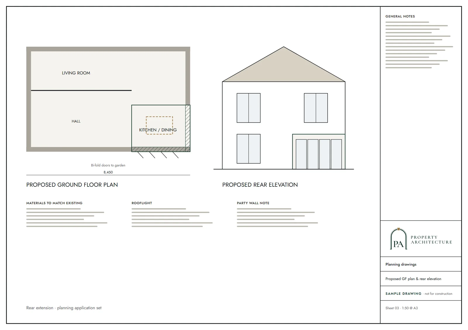

Questions
How do I know if I am in a flood zone?
Use the Environment Agency's flood map for planning with your address. If you would rather not, our constraints report does it and explains the result.
Does a flood risk assessment stop my extension?
Not by itself. It shows how the extension is protected. A good result supports the application; the council still decides.
Is surface water flooding the same thing?
It is a separate source, and the assessment should consider all sources. We ask the assessor to cover surface water and sewer flooding where they apply.
Can I get the assessment after submitting?
The council can refuse to register an application that needs one, so it is better commissioned first.
Sources and dates
- gov.uk, retrieved
- gov.uk, retrieved
- legislation.gov.uk, retrieved
- legislation.gov.uk, retrieved
- legislation.gov.uk, retrieved
- Contains public sector information licensed under the Open Government Licence v3.0.
- Contains OS data © Crown copyright and database right 2026.
- Contains HM Land Registry data © Crown copyright and database right 2026. This data is licensed under the Open Government Licence v3.0.
- Contains Historic England data © Historic England 2026. Contains Ordnance Survey data © Crown copyright and database right 2026.

Tell us about your property.
We check the constraints, then send a fixed fee. Messages before 3pm get a reply the same working day.