
Surveys and design
Elevation and section drawings in London
Elevations show what your house looks like from outside, and sections slice through it to prove heights and stairs. We prepare elevation and section drawings for London homes as MCIAT chartered architectural technologists, on a fixed quote after a free constraints check.
Fixed quote after a free constraints check
- MCIAT chartered
- £2m PI insured
- LABC Partnered
- Fixed fees, VAT included
Request a fixed quote
What elevations and sections prove
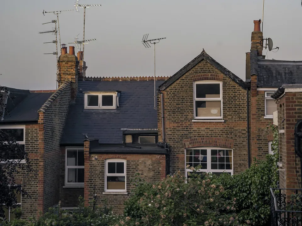
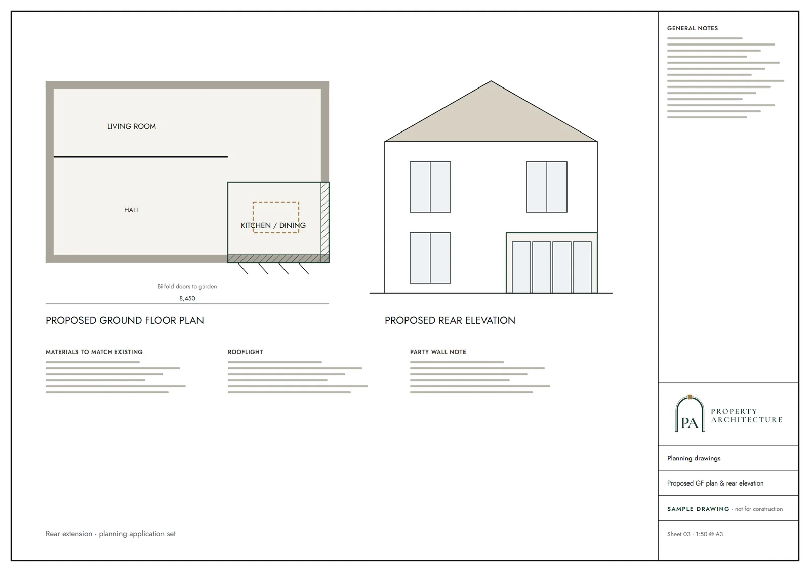
An elevation is a flat view of one face of the building: front, rear and each side. It shows the roof shape, window positions, materials and the heights that a council reads against its rules. A section cuts vertically through the house, showing floor levels, ceiling heights, the roof build-up and the stair.
Together they answer questions plans cannot. How high is the ridge? Where does the eaves line sit against next door? Is there headroom on the stair? Councils use them to judge the visual effect of a project, and builders use them to set out the work.
We draw existing and proposed versions side by side, from the same model, so the change is obvious at a glance.
The height rules the drawings must show
Permitted development for extensions turns on heights, and elevations are where they are demonstrated. The ridge rule says: Extension no higher than the highest part of the existing roof. On eaves, the Order requires: Eaves of an extension no higher than the existing eaves.
Boundaries tighten it further: Eaves no higher than 3 m where within 2 m of the curtilage boundary. A section through the side wall shows this clearly, which is why we draw it even when it is not asked for.
Larger rear extensions use prior approval, and the notice needs figures: Prior approval notifications state depth, maximum height and eaves height. Our prior approval drawings service builds the full set around them.
Stairs, ceilings and the London Plan
Sections are also how Building Regulations and London policy are checked. For stairs, Approved Document K says: 2.0 m clear headroom over stairs. We draw the stair section with the headroom line shown, so a builder can see exactly where the head-height limit falls.
Ceiling heights count in London. For new dwellings the Plan sets a floor-to-ceiling figure of 2.5 m, which is higher than many period basements and lofts allow.
Those figures matter most on loft and conversion schemes. See loft conversion drawings and flat conversion drawings for how we apply them.
What a council expects to see
National guidance asks for the basics on every sheet: Drawn to an identified scale. A sheet that is not to a recognised scale, or that does not match the plans, is a common reason for a returned application.
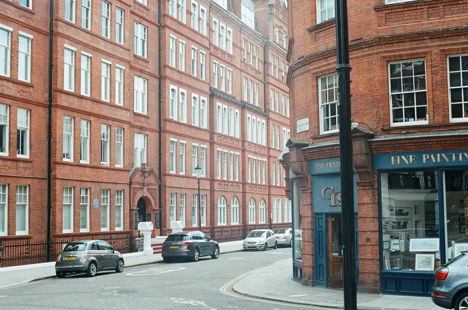
Every elevation should label materials, window types and the position of neighbouring buildings. Where the street has a recognised character, we mark the key features that the design responds to.
Elevations and sections form part of a full planning drawings application, together with the floor plans and site plan.
Fees for elevations and sections
We do not publish a price for elevations and sections on their own, and we never infer one. You receive a fixed quote after a free constraints check, VAT included, based on the size and shape of the house and how many sections are needed.
If the sheets are part of a wider package, the cost is already in that fixed fee. If the council asks for changes we redraw at no charge until approval, which covers our fees and is not a promise about the decision.
Need the plan views first? Our floor plans service starts the same survey.
How the drawings are made
A measured survey comes first. It records ridge, eaves and floor levels on one datum, because a section is only as good as its levels. Our measured building survey page covers it in detail.
We model the house, then generate the elevations and sections from the model. You review the proposed ones in 3D before they are frozen, and a second chartered technologist checks every sheet.
Drawings are normally ready about a week after the survey.
Reading your own elevations
An elevation looks flat but carries the measurements that decide an application. Check four things: ground level, eaves line, ridge line and window positions. If any looks wrong against your memory of the house, say so before we issue, because the drawing is what the officer and the builder rely on.
Sections answer a different question. They cut through the building to show floor-to-ceiling heights, the stair and the roof build-up, which is where loft conversion drawings are often judged.
Neighbouring houses matter too. Showing the adjoining roof and window lines helps an officer see how your proposal sits beside them. We include them whenever they are relevant.
Elevations and sections by council
Councils read elevations through their own design guidance, and conservation areas often demand more detail on materials. Each council page sets out the local figures. See architectural drawings in Camden for an example.
Choose your borough from architectural drawings by area.
The national rules in figures
| Measure | Value | Period | Source |
|---|---|---|---|
| Class A, para A.1(c) | Extension no higher than the highest part of the existing roof | — | legislation.gov.uk |
| Class A, para A.1(d) | Eaves of an extension no higher than the existing eaves | — | legislation.gov.uk |
| Class A, para A.1(i) | Eaves no higher than 3 m where within 2 m of the curtilage boundary | — | legislation.gov.uk |
| Class A, para A.4(2)(a) | Prior approval notifications state depth, maximum height and eaves height | — | legislation.gov.uk |
| Approved Document K 2013, para 1.11, Diagram 1.3 | 2.0 m clear headroom over stairs | — | gov.uk |
| London Plan 2021 Policy D6, part 8: min floor-to-ceiling height for 75% of GIA | 2.5 m | — | london.gov.uk |
| PPG Making an application, para 023 | Drawn to an identified scale | — | gov.uk |
A blank value means the figure has not been published, not that there are none. Check your own address with the council.
Building regulations, layer by layer
The Approved Documents that shape most house projects, from structure to the application itself.
- A · Part A: structure
- Approved Document A: Structure, 2004 edition incorporating 2004, 2010 and 2013 amendments
- B · Part B: fire safety
- All dwellings: fire detection and alarm system minimum Grade D2 Category LD3 (BS 5839-6), mains-operated smoke alarms to BS EN 14604
- C · Part L: insulation
- New elements in existing dwellings, limiting U-values W/(m²·K): roof 0.15, wall 0.18, floor 0.18, windows 1.4 (or WER Band B), doors 1.4
- D · Part K: stairs
- 2.0 m clear headroom over stairs
- E · Full plans application
- Building control body must decide a full plans application within 5 weeks, or longer if agreed in writing
What you receive
Questions
What is the difference between an elevation and a section?
An elevation is a view of one outside face of the building. A section is a vertical slice through it, showing floor levels, ceiling heights, roof build-up and stairs.
How much do elevation and section drawings cost?
We give a fixed quote after a free constraints check, VAT included. No separate fee is published for this service.
Do I need sections for a planning application?
Usually yes, particularly where heights or levels matter. Plans, elevations and sections are drawn to an identified scale.
Can you draw sections for a loft?
Yes. The section proves stair headroom and the roof height, and it is the key sheet on a loft scheme.
What if the council wants changes?
We redraw at no charge until approval. We cannot promise any decision.
Sources and dates
- legislation.gov.uk, retrieved
- gov.uk, retrieved
- london.gov.uk, retrieved
- gov.uk, retrieved
- gov.uk, retrieved
- gov.uk, retrieved
- gov.uk, retrieved
- legislation.gov.uk, retrieved
- Contains public sector information licensed under the Open Government Licence v3.0.
- Contains OS data © Crown copyright and database right 2026.
- Contains HM Land Registry data © Crown copyright and database right 2026. This data is licensed under the Open Government Licence v3.0.
- Contains Historic England data © Historic England 2026. Contains Ordnance Survey data © Crown copyright and database right 2026.

Tell us about your property.
We check the constraints, then send a fixed fee. Messages before 3pm get a reply the same working day.