
Surveys and design
Topographical survey in London
A topographical survey records the ground itself: levels, slopes, boundaries, trees, walls, drain covers and the edges of every building on and around the plot. We offer it for London homes on a fixed quote after a free constraints check, drawn so your design starts from measured fact rather than from an online map.
Fixed quote after a free constraints check
- MCIAT chartered
- £2m PI insured
- LABC Partnered
- Fixed fees, VAT included
Request a fixed quote
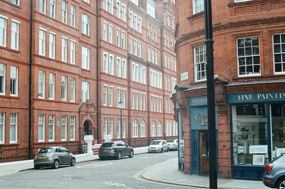
What a topographical survey shows
Think of it as a map made for one site, at a scale where individual features can be seen. It records ground levels as spot heights and contours, the line of boundaries and fences, the footprint and eaves of the house and its neighbours, trees with their spread, kerbs, steps, manholes and gullies.
On a sloping London garden the levels are the point. They decide how high a rear extension floor can sit, whether a garden room needs retaining work, and how a drainage run falls to the sewer.
The survey is drawn to a stated scale and datum, so the design questions that follow, such as how tall a new building looks from the neighbour's window, can be answered from the sheet.

Why online maps are not enough
A common starting point is Ordnance Survey MasterMap. It is excellent for locating a property, but its own specification states a nominal point accuracy, at its stated confidence level, of 1 m in urban areas and 2.5 m in rural areas.
A design that depends on a distance of a few centimetres to a boundary cannot be built on a source whose stated tolerance is a metre. The Sites Layer guide gives an absolute RMSE of 0.5 m for urban data, which is better, but still not survey grade.
Land Registry plans are weaker again for this purpose. Their guidance says the title plan shows general boundaries only, with no standard tolerance between the plotted line and the legal boundary.
When a council asks for one
There is no national requirement to submit a topographical survey. National guidance has no separate validation list beyond the national information, so a survey becomes mandatory only if the borough lists it among its local requirements.
Even then the council can insist on it only if the local list is formally adopted and was published on its website less than 2 years before your application. We check that date in our constraints check.
The London Plan does not itself demand a survey. It names topography as a site-context consideration, and the practical requirement comes from borough lists and officers who need levels to judge a scheme. Sloping sites, backland plots and anything with a level change to a neighbour are where an officer is most likely to need one.
When we recommend commissioning one anyway
Some jobs gain a great deal from a survey even when no council asks. A new dwelling at the end of a garden, a side or rear extension on a terrace with uneven ground, a basement, a new drive or a garden room near a boundary all depend on levels. Our new build drawings work usually begins by recommending one.
The same goes for a boundary dispute waiting to happen. A survey records what is on the ground today, with a date, which is better evidence than memory when a neighbour later challenges where a fence stood.
For the building itself, a measured building survey records internal rooms and the structure. Commissioning the two together means the house and the site sit on one datum.
Utilities and underground services
A standard topographical survey records what is visible: covers, gullies and valve boxes. It does not trace pipes and cables underground. For that, the industry standard is the BSI publicly available specification for utility surveys, which sets out four survey types, from a desktop study through site reconnaissance and electromagnetic detection to verification by exposing the service.
Each type builds on the last, and the desktop study is a prerequisite to the rest. For many house projects the first two are enough, but a deep excavation, a new drain connection or a basement may justify detection before design.
We tell you which level your site needs, and what it does and does not find, in the quote.
Standards, accuracy and what we show you
Survey quality is described by RICS guidance on measured surveys of land, buildings and utilities. The current edition introduces accuracy bands, and the guidance is published free of charge by RICS. A good survey states the band it was made to, so you and the council know how far to trust each figure.
That is the test of a good survey sheet: the scale, datum, date, band and legend are on the drawing, not implied. We will not take a drawing forward without them.
Because a survey is only as good as the checking behind it, our independent review applies here too: a second chartered technologist, never the person who prepared the drawing, checks the sheet before it feeds a design.
Price and next step
A topographical survey has no list price, because plot size, vegetation and access change the work. You receive a fixed quote after a free constraints check, and it covers the survey sheet and a DWG file for your design team.
Send us the address and a note of what you are planning. We will say whether a survey is needed for planning, advisable for design, or unnecessary for your scheme. For the planning side, see our planning drawings and location and block plans.
The national rules in figures
| Measure | Value | Period | Source |
|---|---|---|---|
| PPG Making an application, Ref ID 14-039-20140306; library INDEX item 40 (updated 12 May 2025) | No separate national validation list; national requirements are in the PPG and the DMPO, everything else must be on a council's local list | — | gov.uk |
| PPG Making an application, Ref ID 14-039-20140306 | Local information requirements only affect validity if set out on a formally adopted local list published on the council's website less than 2 years before the application is submitted | — | gov.uk |
| PPG Making an application, Ref ID 14-043-20140306 ('A local list should be reviewed at least every 2 years') | 2 years | — | gov.uk |
| OS MasterMap Topography Layer technical specification ch.6, attribute accuracyOfPosition (PDF p.80), user guide v1.9 12/2010 | 1 m, nominal point accuracy at 99% confidence | — | digimap.edina.ac.uk |
| OS MasterMap Topography Layer technical specification ch.6, attribute accuracyOfPosition (PDF p.80), user guide v1.9 12/2010 | 2.5 m, nominal point accuracy at 99% confidence | — | digimap.edina.ac.uk |
| OS MasterMap Sites Layer user guide v1.3 10/2020, data quality table (PDF p.21): 'in line with the Topography Layer values; that is, RMSE in urban +/- 0.5 m, rural +/- 1.1 m, and mountain and moorland +/- 4.1 m' | 0.5 m RMSE absolute accuracy | — | ordnancesurvey.co.uk |
| OS Topography Layer documentation page | Updated every six weeks; designed for display at 1:1250 (urban), 1:2500 (rural), 1:10000 (mountain/moorland) | — | docs.os.uk |
| Practice Guide 40 supplement 3, section 5; page shows 'Updated 1 June 2026' | General boundaries only: 'there is no standard tolerance, measurement or ratio that can be attributed to the relationship' between the registered general boundary and the legal boundary | — | gov.uk |
| CICES 'PAS 128:2022 Client Specification Guide' Sept 2022, table of survey types and quality levels | PAS 128:2022 (BSI) is paywalled; four survey types D (desktop), C (site reconnaissance), B (detection, QL-B1 to B4) and A (verification by exposure, QL-A); Type D is a prerequisite to C, B and A | — | cices.org |
| RICS page 'Measured Surveys of Land, Buildings and Utilities, 3rd edition' | Free PDF (2.59 MB) offered on the RICS page; 3rd edition published 6 November 2014; reissued as professional standard April 2024; introduces a 'survey accuracy band' concept | — | rics.org |
A blank value means the figure has not been published, not that there are none. Check your own address with the council.
Building regulations, layer by layer
The Approved Documents that shape most house projects, from structure to the application itself.
- A · Part A: structure
- Approved Document A: Structure, 2004 edition incorporating 2004, 2010 and 2013 amendments
- B · Part B: fire safety
- All dwellings: fire detection and alarm system minimum Grade D2 Category LD3 (BS 5839-6), mains-operated smoke alarms to BS EN 14604
- C · Part L: insulation
- New elements in existing dwellings, limiting U-values W/(m²·K): roof 0.15, wall 0.18, floor 0.18, windows 1.4 (or WER Band B), doors 1.4
- D · Part K: stairs
- 2.0 m clear headroom over stairs
- E · Full plans application
- Building control body must decide a full plans application within 5 weeks, or longer if agreed in writing
What you receive

Questions
What is a topographical survey?
A measured drawing of a plot showing levels, contours, boundaries, trees, structures and visible services, made on a stated scale and datum so a design can be built from it.
Do I need a topographical survey for planning permission in London?
Only if your borough lists it among local requirements on a formally adopted list, published less than 2 years before you apply. We check the local list before you spend anything.
Why not use Ordnance Survey data?
Its published nominal point accuracy in urban areas is 1 m, which is too coarse for design near a boundary.
Does the survey find underground pipes?
Not by itself. It records visible covers and gullies. Tracing buried services needs a utilities survey to the BSI specification, which we scope separately if your site needs it.
How much does a topographical survey cost?
We give a fixed quote after a free constraints check, because plot size, vegetation and access change the work.
Sources and dates
- gov.uk, retrieved
- digimap.edina.ac.uk, retrieved
- ordnancesurvey.co.uk, retrieved
- docs.os.uk, retrieved
- gov.uk, retrieved
- cices.org, retrieved
- rics.org, retrieved
- gov.uk, retrieved
- gov.uk, retrieved
- gov.uk, retrieved
- gov.uk, retrieved
- legislation.gov.uk, retrieved
- Contains public sector information licensed under the Open Government Licence v3.0.
- Contains OS data © Crown copyright and database right 2026.
- Contains HM Land Registry data © Crown copyright and database right 2026. This data is licensed under the Open Government Licence v3.0.
- Contains Historic England data © Historic England 2026. Contains Ordnance Survey data © Crown copyright and database right 2026.

Tell us about your property.
We check the constraints, then send a fixed fee. Messages before 3pm get a reply the same working day.