Key takeaways
- Our fixed fee for a constraints report is £19, with no VAT to add.
- It searches the main designations: conservation areas, article 4 direction areas, listed buildings, flood risk zones and moreplanning.data.gov.uk, Datasets.
- The datasets have limits: the data may be incomplete and not yet cover all of Englandplanning.data.gov.uk, Datasets.
- Conservation areas narrow permitted development: article 2(3) land includes national parks, areas of outstanding natural beauty and conservation areasGeneral Permitted Development Order 2015, article 2(3).
- Trees in a conservation area need notice: 6 weeks' notice to the council before certain work, unless an exception appliesGOV.UK planning practice guidance, Tree Preservation Orders and trees in conservation areas.
What the report costs, and why it is the first step
Our fee is £19. For that we search the address and its immediate neighbours, confirm any finding that matters against the council's own pages, and write a short report. See our planning constraints report page for an outline.
It is the first step because it is the least expensive way to avoid paying for a scheme the site cannot take. Drawings assume a set of rights; the report checks you have them. If it finds a restriction, you learn it at this price rather than at the price of a refused application.
What gets checked
Public datasets cover the main designations: conservation areas, article 4 direction areas, listed buildings, flood risk zones and moreplanning.data.gov.uk, Datasets. We search each for your address and the houses beside it, since a boundary can sit one house away. We then confirm what matters with the council, because there is a warning on the data itself: the data may be incomplete and not yet cover all of Englandplanning.data.gov.uk, Datasets.
The report says what each finding usually means for a house in your position, not just what it is. A listed neighbour matters differently from a listed house, and a flood zone matters differently for an extension than for a basement.
Conservation areas change the rules
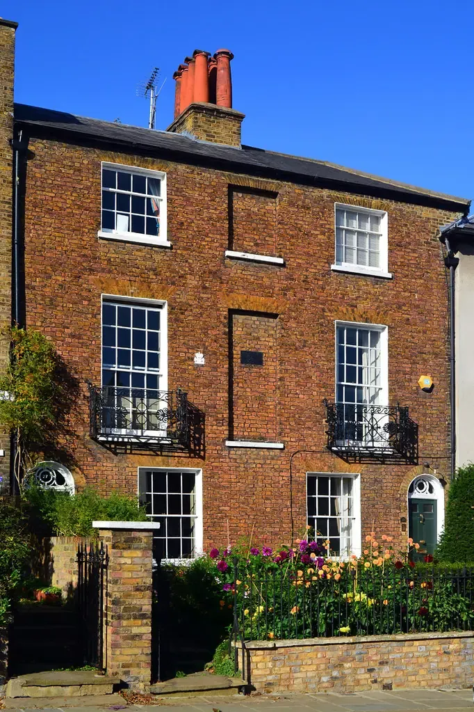
Councils must designate them: a council shall designate areas of special architectural or historic interest as conservation areasPlanning (Listed Buildings and Conservation Areas) Act 1990, section 69. Inside one, permitted development is narrower, because conservation areas belong to a wider category: article 2(3) land includes national parks, areas of outstanding natural beauty and conservation areasGeneral Permitted Development Order 2015, article 2(3). A rear dormer, a side extension or cladding that would otherwise need no application can need one there.
Trees add a second layer: 6 weeks' notice to the council before certain work, unless an exception appliesGOV.UK planning practice guidance, Tree Preservation Orders and trees in conservation areas. If your garden has a mature tree, this affects when you can start work.
Article 4 directions: rights taken away street by street
A council can remove permitted development rights from an area. The government's guidance on what that means: it only means development cannot be carried out under permitted development and needs a planning applicationGOV.UK planning practice guidance, When is permission required?. It is often the finding that changes a plan: a loft you thought needed no application may need one, and the report says so before you pay for drawings.
If you are deciding what to buy, our pre-purchase report goes on to test the extension itself, and our heritage statement work follows where a conservation area applies.
For landlords and investors
A report on a shortlist costs far less than drawings on the wrong site. Run it on every address you are seriously weighing, compare the constraints, and spend on drawings only where the plot allows what you intend.
Tell us what you plan, whether a loft, an extension, flats or a shared house, and we write the report with that use in mind.
The figures, with sources
- Public planning datasets
- conservation areas, article 4 direction areas, listed buildings, flood risk zones and moreplanning.data.gov.uk, DatasetsChecked 25 October 2026
- Warning on the datasets
- the data may be incomplete and not yet cover all of Englandplanning.data.gov.uk, DatasetsChecked 25 October 2026
- Duty to designate conservation areas
- a council shall designate areas of special architectural or historic interest as conservation areasPlanning (Listed Buildings and Conservation Areas) Act 1990, section 69Checked 25 October 2026
- Land where permitted development is limited
- article 2(3) land includes national parks, areas of outstanding natural beauty and conservation areasGeneral Permitted Development Order 2015, article 2(3)Checked 25 October 2026
- Effect of an article 4 direction
- it only means development cannot be carried out under permitted development and needs a planning applicationGOV.UK planning practice guidance, When is permission required?Checked 25 October 2026
- Notice for work to trees in a conservation area
- 6 weeks' notice to the council before certain work, unless an exception appliesGOV.UK planning practice guidance, Tree Preservation Orders and trees in conservation areasChecked 25 October 2026
Questions
Is the report free with other work?
We begin every job with a free constraints check of the address. The paid report is a written, sourced document you can keep and show to others.
Can I do the check myself?
Yes, the datasets are public. The report saves the time and explains what each finding means for your plan, which is the part most owners find hard.
How reliable is the data?
The national service warns that its data may be incomplete, so we confirm anything that matters against the council's own pages and say where we could not.
Does it cover listed buildings?
The check shows whether the house or a neighbour is listed, and the report says what that means for your plan.
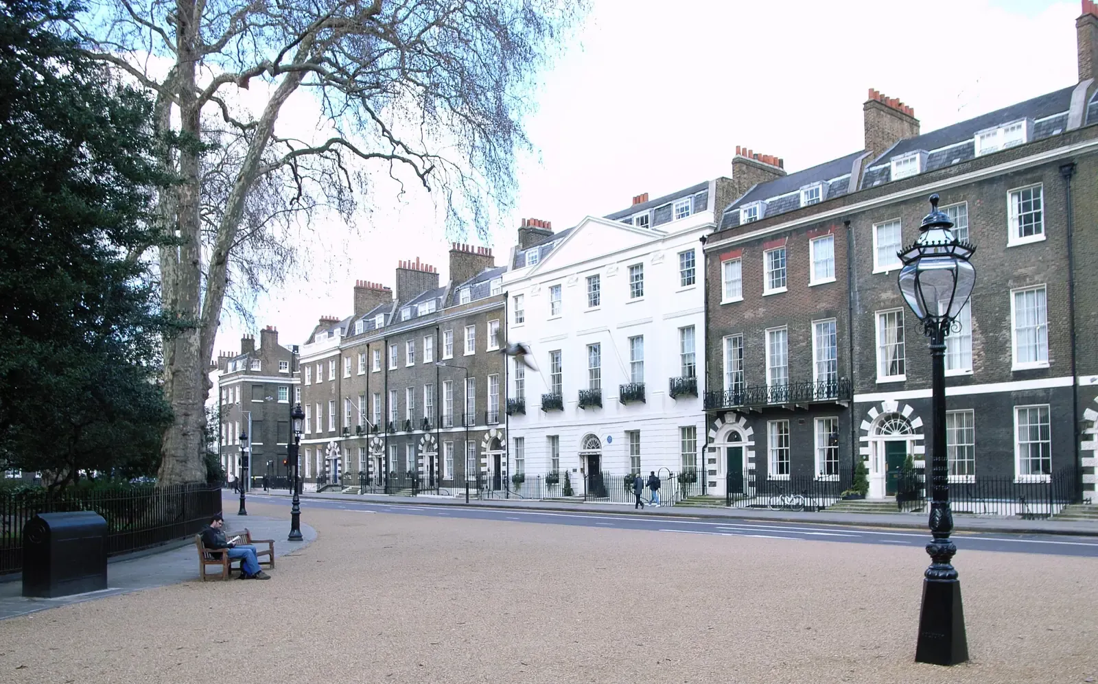
Header photo: Georgian brick terrace on Bedford Square in Bloomsbury, with arched doorways, sash windows and black iron railings by Steve Cadman from London, U.K., CC BY-SA 2.0.