Key takeaways
- Our fixed fee is £42, with no VAT to add, and the plans are free inside every planning package.
- A location plan is the minimum: as a minimum, applicants need a location plan showing the application site in relation to the surrounding areaGOV.UK planning practice guidance, Making an application.
- It has a scale: based on an up-to-date map, at a scale typically of 1:1250 or 1:2500GOV.UK planning practice guidance, Making an application.
- The site is edged red and other land is blue: edged clearly with a red line, including all land needed to carry out the developmentGOV.UK planning practice guidance, Making an application, and a blue line drawn around any other land owned by the applicant, close to or adjoining the siteGOV.UK planning practice guidance, Making an application.
- Every plan needs north and a scale: plans and drawings must be drawn to an identified scale, and plans must show the direction of northGOV.UK planning practice guidance, Making an application.
What the plans cost, and when they are free
Our fee is £42 for location and block plans on their own. Inside any planning package they cost nothing extra, so you never pay twice for the same sheet. A second person checks each plan before it is issued. See our location and block plans page for what you send.
Stand-alone plans suit owners who are preparing an application themselves, or who need the plans for a lawful development certificate or a prior approval. In every case the red line is drawn from a measured survey where we have one, because that is the most defensible boundary.
Two plans, two jobs
A location plan answers where. based on an up-to-date map, at a scale typically of 1:1250 or 1:2500GOV.UK planning practice guidance, Making an application. It puts the site against its surroundings so the council and neighbours can find it. A block plan answers what sits where: the house, its extension, the boundaries and the access, with distances to neighbours.
The council checks both before an application is valid, and the officer returns to the block plan when judging the effect on adjoining homes. A block plan that shows a different extension footprint from the floor plans is a common reason for a query.
The red line and the blue line
The red line edges the application site. The guidance says: edged clearly with a red line, including all land needed to carry out the developmentGOV.UK planning practice guidance, Making an application. Other land you own nearby gets a different colour: a blue line drawn around any other land owned by the applicant, close to or adjoining the siteGOV.UK planning practice guidance, Making an application. The usual mistake is a red line that stops at the front door and leaves out the path or drive to the road, or one drawn from memory that takes in a strip of the neighbour's garden.
Either can make the ownership certificate wrong. We draw from the measured survey and compare it with the deeds you hold. Where the boundary is uncertain we say so before you sign anything.
Scale, north and the base map
Both plans follow the same basic rule: plans and drawings must be drawn to an identified scale, and plans must show the direction of northGOV.UK planning practice guidance, Making an application. A plan at an odd scale can be marked invalid, and the clock for a decision does not start until the application is valid. We keep one scale convention, north arrow and legend across every sheet, so the plans agree with the rest of the drawings.
The guidance asks for an up-to-date map, which a free online screenshot rarely is. We use a current licensed map base and credit it on the sheet.
Where the plans go next
The plans go into the application with the drawings. If you want the full set, our planning drawings include them, and the cost post on planning drawings explains the council's fee. For a prior approval, the plan is part of the notification: see our prior approval drawings.
If the site changes during design, for example when an extension is reduced, we redraw the plans to match.
The figures, with sources
- The minimum plan with an application
- as a minimum, applicants need a location plan showing the application site in relation to the surrounding areaGOV.UK planning practice guidance, Making an applicationChecked 25 October 2026
- Location plan scale
- based on an up-to-date map, at a scale typically of 1:1250 or 1:2500GOV.UK planning practice guidance, Making an applicationChecked 25 October 2026
- The application site on the location plan
- edged clearly with a red line, including all land needed to carry out the developmentGOV.UK planning practice guidance, Making an applicationChecked 25 October 2026
- Other land owned by the applicant
- a blue line drawn around any other land owned by the applicant, close to or adjoining the siteGOV.UK planning practice guidance, Making an applicationChecked 25 October 2026
- What plans must show
- plans and drawings must be drawn to an identified scale, and plans must show the direction of northGOV.UK planning practice guidance, Making an applicationChecked 25 October 2026
Questions
Do I need a block plan for a small porch?
Usually yes. The officer has to see the porch against the boundary and the neighbours. We confirm what your council expects at the constraints check.
Can I use a free online map?
The guidance asks for an up-to-date map at a recognised scale, and screenshots rarely meet it. We use a current map base.
What if I am not sure where my boundary is?
We compare the survey with your deeds and the mapping, and tell you where the boundary is uncertain before you sign an ownership certificate.
Are the plans included in your planning packages?
Yes. They cost nothing extra inside any planning package.
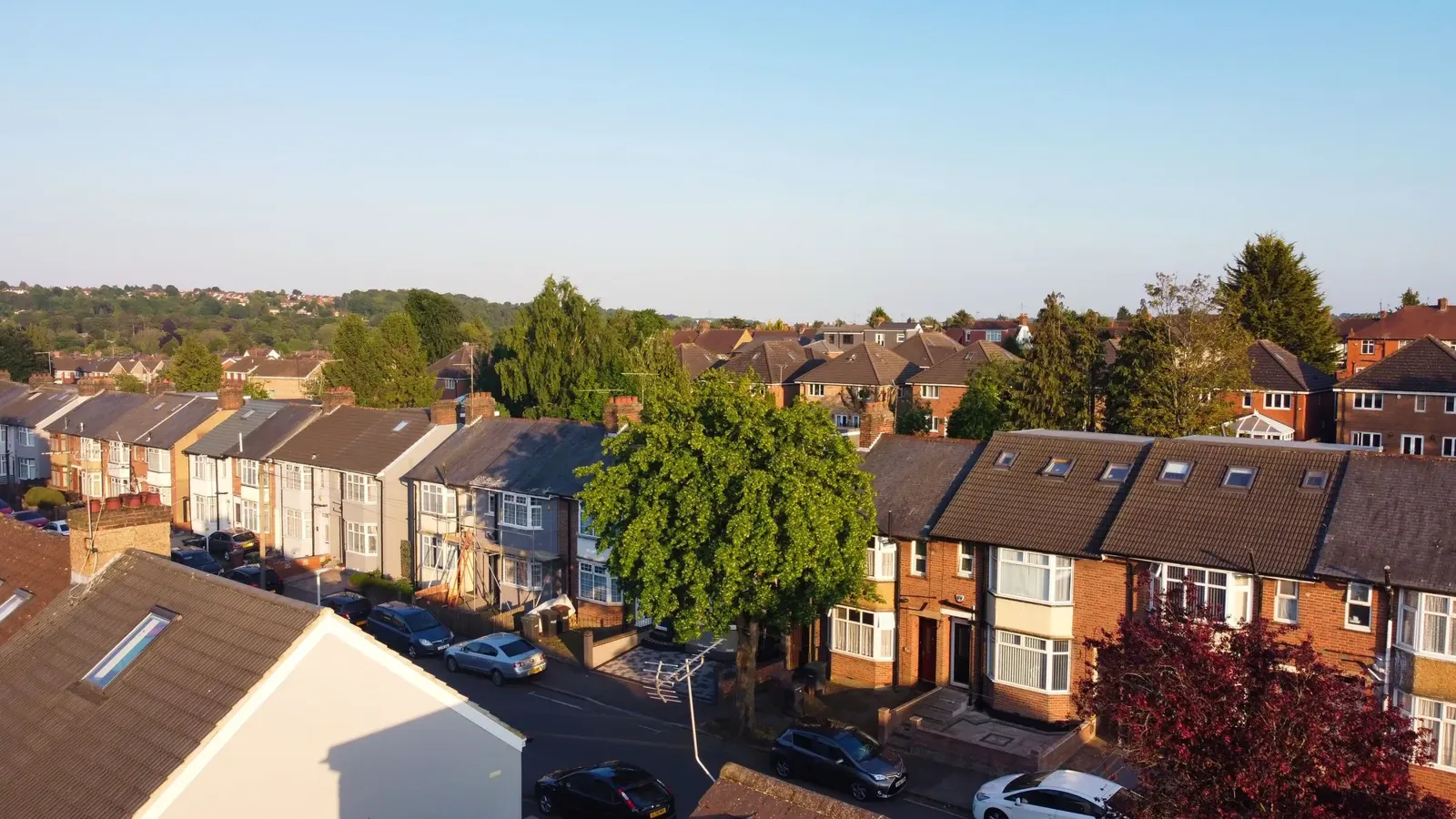
Header photo: An aerial view of rows of brick terraced houses with rear outriggers and roof windows along a suburban street at sunset by Altaf Shah, Pexels License.