
Brent, London
Topographical survey in Brent
Brent asks for a topographical survey on householder applications where levels change significantly, and on every basement. A topographical survey records ground levels, boundaries, trees and the footprint of neighbouring buildings to a measured standard. We offer it for Brent homes on a fixed quote after a free constraints check, drawn by MCIAT chartered architectural technologists so that the design starts from measured fact.
Fixed quote after a free constraints check
- MCIAT chartered
- £2m PI insured
- LABC Partnered
- Fixed fees, VAT included
Request a fixed quote
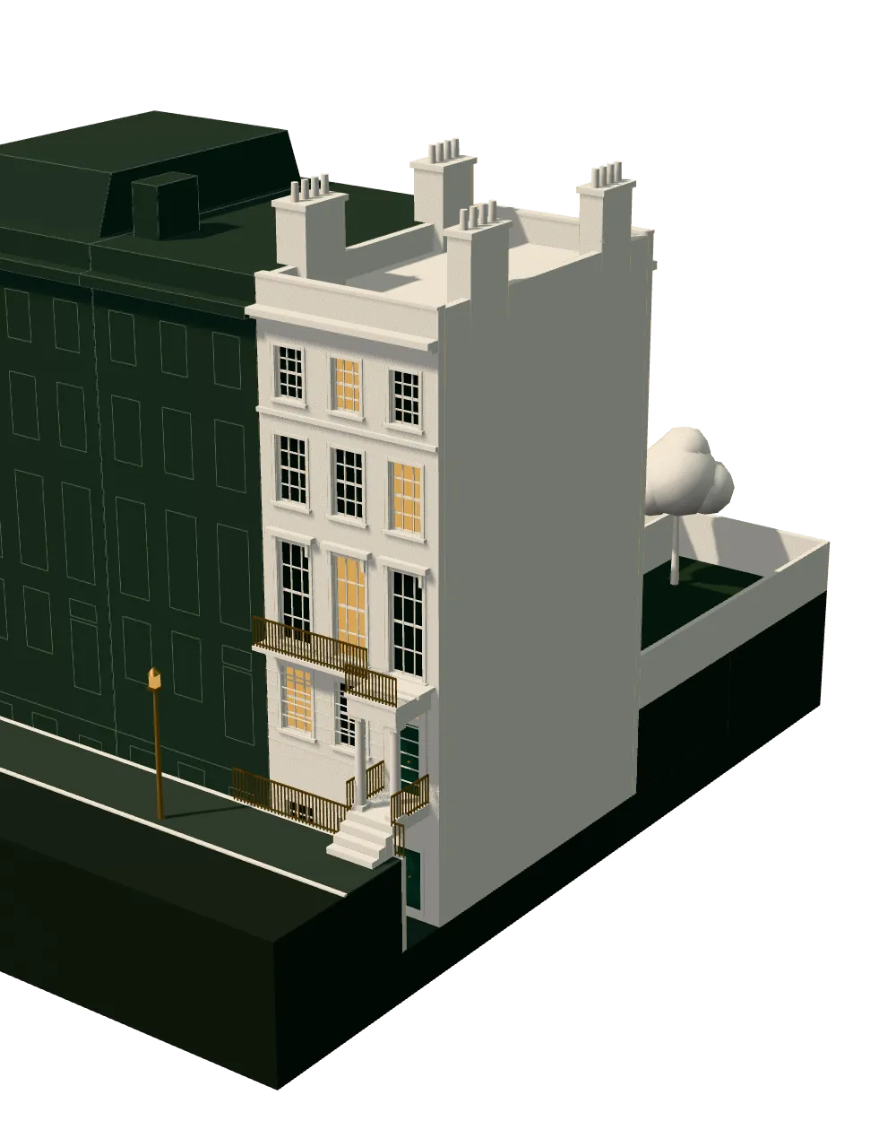
How we work on topographical surveys
Seven steps from first call to approval.
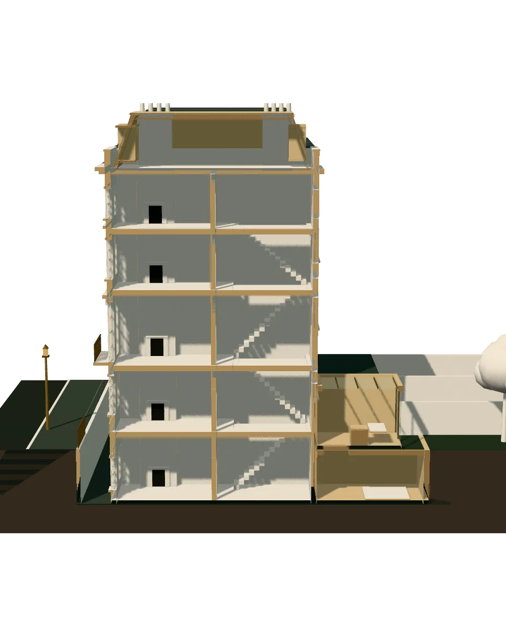
Enquiry and constraints check
We check the property against conservation areas, listed status, Article 4 directions, tree preservation orders, flood zone and planning history. We choose the right route and send a fixed quote.
Measured survey
We survey the house on one datum: rooms, levels, boundaries, drains, trees and the neighbours' windows that the 45° and 25° tests depend on.
Design options
We model the house in Revit and show you options in 3D and plan, with the planning strategy and the precedents in your street.
Design frozen
You choose an option in writing. Nothing changes after this without your say.
Independent check
A second chartered technologist checks every sheet against the council's validation checklist and the policy. A senior review signs it off before anything is submitted.
Submission
We prepare the forms, certificates, fee and documents and submit through the Planning Portal.
Officer liaison
We answer the planning officer and make any amendments within five working days, at no charge until approval.
Free redraws until approval. Every drawing set is checked independently, and the checker is never the person who drew it.
Request a fixed quote
What Brent actually asks for on its validation lists
Brent publishes separate validation lists by application type, and both mention surveys. For householder cases the council states its requirement as: levels front-back, side-side; all basements. The survey must show existing ground levels across the site, adjoining ground, landscaping, tree canopies and root areas, with photographs.
On the list for full, outline and technical details applications, a topographic survey is required for majors and large minors. A development of several homes or a large minor scheme will therefore not validate without one.
These are the council's requirements as at the date of the lists we checked, and lists change. We re-read the current version for your application type before we price anything, because a missing survey makes an application invalid, and the clock does not start until it is valid.

Local figures for Brent
| Measure | Value | Period | Source |
|---|---|---|---|
| Site survey required on householder applications where there are significant level changes and for all applications that include basements; it records existing ground levels across the site (front to back and side to side) and of adjoining property, landscaping, tree canopies and root areas, with photographs. | levels front-back, side-side; all basements | — | brent.gov.uk, Brent validation list: Householder Planning Permission, p.3, 'Site survey'; guidance notes (BGD) p.13 |
| Full list: a topographic survey is required for Major applications and large minor applications. | majors and large minors | — | brent.gov.uk, Brent validation list: Full, Outline, Technical Details Consent applications, p.7, 'Topographic survey' |
| Tree preservation orders | 1,229 tree preservation orders published by the council | — | planning.data.gov.uk |
| Tree preservation zones | 301 tree preservation zone polygons published by the council | — | planning.data.gov.uk |
| Article 4 directions | 39 Article 4 directions published by the council | — | planning.data.gov.uk |
| Conservation areas | 23 named conservation areas published by the council | — | planning.data.gov.uk |
| Householder applications granted | 86.6 % | 1 July 2025 - 30 June 2026 | assets.publishing.service.gov.uk |
| Minor applications granted | 74.8 % | 1 July 2025 - 30 June 2026 | assets.publishing.service.gov.uk |
| OS MasterMap Topography Layer technical specification ch.6, attribute accuracyOfPosition (PDF p.80), user guide v1.9 12/2010 | 1 m, nominal point accuracy at 99% confidence | — | digimap.edina.ac.uk |
| OS MasterMap Sites Layer user guide v1.3 10/2020, data quality table (PDF p.21): 'in line with the Topography Layer values; that is, RMSE in urban +/- 0.5 m, rural +/- 1.1 m, and mountain and moorland +/- 4.1 m' | 0.5 m RMSE absolute accuracy | — | ordnancesurvey.co.uk |
A blank value means the figure has not been published, not that there are none. Check your own address with the council.
Building regulations, layer by layer
The Approved Documents that shape most house projects, from structure to the application itself.
- A · Part A: structure
- Approved Document A: Structure, 2004 edition incorporating 2004, 2010 and 2013 amendments
- B · Part B: fire safety
- All dwellings: fire detection and alarm system minimum Grade D2 Category LD3 (BS 5839-6), mains-operated smoke alarms to BS EN 14604
- C · Part L: insulation
- New elements in existing dwellings, limiting U-values W/(m²·K): roof 0.15, wall 0.18, floor 0.18, windows 1.4 (or WER Band B), doors 1.4
- D · Part K: stairs
- 2.0 m clear headroom over stairs
- E · Full plans application
- Building control body must decide a full plans application within 5 weeks, or longer if agreed in writing
Why Brent sites often need one anyway
Brent has 1,229 tree preservation orders and 301 mapped protection zones, so many gardens contain a protected tree or sit beside one. The council wants canopies and root areas recorded, and an ordinary measured plan will not show where roots reach.
The borough also holds 39 Article 4 directions over 162 mapped areas and 23 conservation areas. Within those, the design usually has to respond to the existing levels and boundary lines, not just to the footprint of the house.
Houses make up 43.3 per cent of Brent households. On a sloping rear garden, a one-metre error in a floor level can make the difference between a permitted extension and one that exceeds a height limit.
How accurate is a survey, and what you can rely on
Online maps are drawn for display, not for design. Ordnance Survey states a nominal point accuracy of 1 metre in urban areas at the scale it is built for, and a projected absolute error of 0.5 metre in urban areas. A measured survey is aimed at a much finer tolerance.
The Land Registry title plan is worse for this purpose. It shows general boundaries only, so it cannot fix a distance to a neighbour.
Our survey records levels at the corners and changes of slope, drain covers, walls and fences, neighbouring building footprints and eaves where visible, and tree positions with canopy spread, in a form the extension drawings are built directly on. Where a neighbour will not allow access, we note which points were measured from your side only.
Surveys alongside Brent's other guidance
Brent's Residential Extensions and Alterations Supplementary Planning Document sets the rules for extensions, and the Basement Supplementary Planning Document adds a further layer for lower-ground floors. Both depend on knowing the existing ground level accurately, which is why the survey comes first.
The council also publishes the Brent Design Guide Supplementary Planning Document (SPD1) and a Houses in Multiple Occupation SPD. If your plan touches either subject, the survey should record the rear boundary and access routes with that in mind.
The decision record shows what is at stake: the council granted 86.6 per cent of 879 householder applications and 74.8 per cent of 734 minor ones in the latest twelve months.
Topographical survey in Brent: next steps and what it leads to
Send us the address. We confirm which Brent validation list applies, whether a survey is mandatory or merely sensible, and give a fixed quote. The survey feeds planning drawings in Brent, and where the project is a new home, new build drawings in Brent.
If you plan a basement or a structural change, the survey also underpins the engineer's work, so structural calculations in Brent can start from the same dataset.
The wider service is described on our topographical survey page, and the free constraints check is on the quote form on this page.
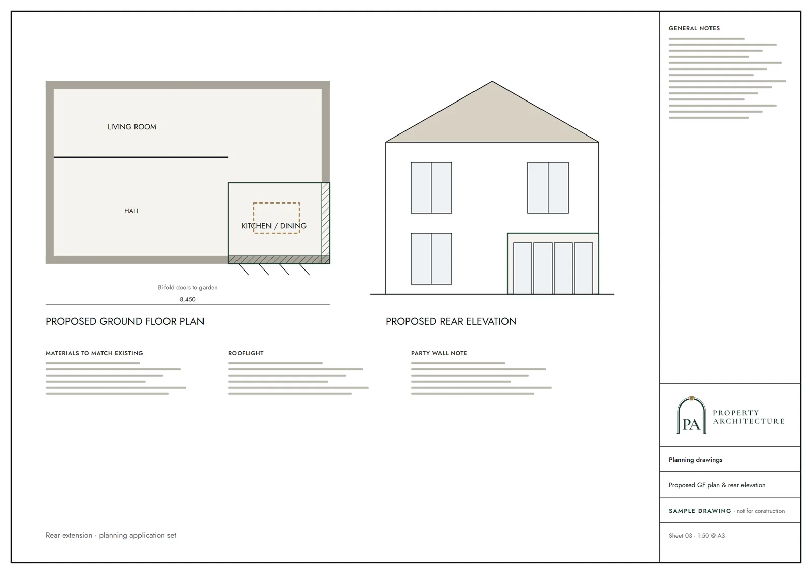
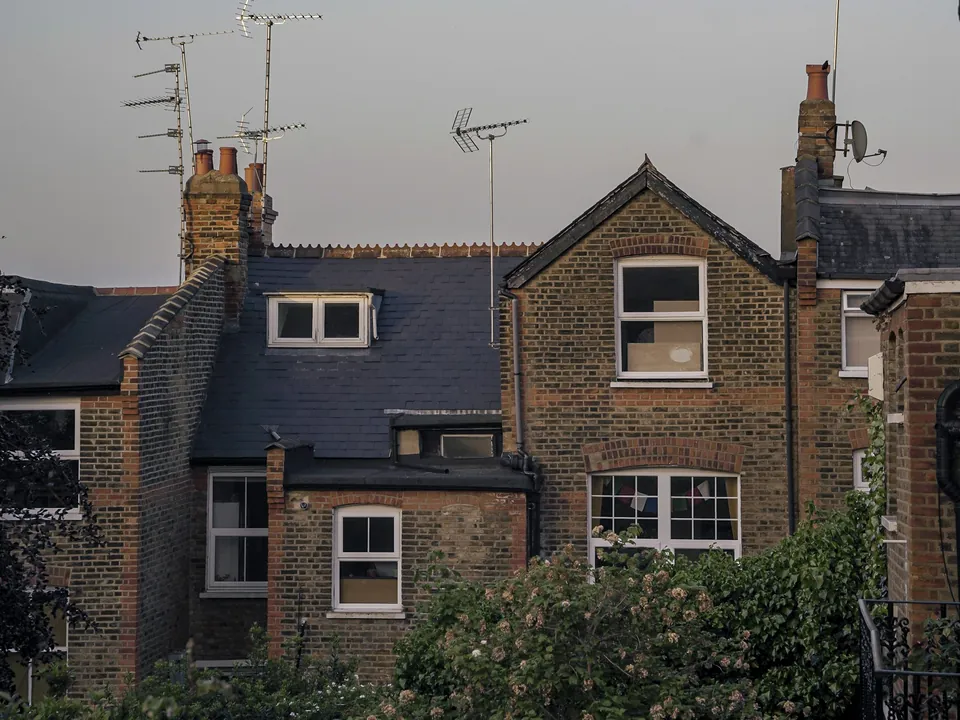
What you receive
Questions
Does Brent require a topographical survey for a householder extension?
Where levels change significantly, and for every basement, yes. The council's householder list asks for a site survey on those terms, so a flat garden extension may not need one.
Is a topographical survey needed for a large Brent development?
Yes. The council's list for larger applications asks for a topographic survey on majors and large minors.
How many tree preservation orders does Brent have?
The council publishes 1,229 orders and 301 protection zones, which is why root and canopy positions are recorded.
How much does a Brent topographical survey cost?
We give a fixed quote after a free constraints check of your address. The price depends on the plot size, levels and access.
Sources and dates
- brent.gov.uk, retrieved
- brent.gov.uk, retrieved
- planning.data.gov.uk, retrieved
- planning.data.gov.uk, retrieved
- planning.data.gov.uk, retrieved
- planning.data.gov.uk, retrieved
- assets.publishing.service.gov.uk, retrieved
- digimap.edina.ac.uk, retrieved
- ordnancesurvey.co.uk, retrieved
- planning.data.gov.uk, retrieved
- nomisweb.co.uk, retrieved
- brent.gov.uk, retrieved
- gov.uk, retrieved
- gov.uk, retrieved
- gov.uk, retrieved
- gov.uk, retrieved
- legislation.gov.uk, retrieved
- Contains public sector information licensed under the Open Government Licence v3.0.
- Contains OS data © Crown copyright and database right 2026.
- Contains HM Land Registry data © Crown copyright and database right 2026. This data is licensed under the Open Government Licence v3.0.
- Contains Historic England data © Historic England 2026. Contains Ordnance Survey data © Crown copyright and database right 2026.

Tell us about your property.
We check the constraints, then send a fixed fee. Messages before 3pm get a reply the same working day.