
Havering, London
New build drawings in Havering
More than half of Havering is green belt, so the boundary line often decides the route. We prepare new build drawings for Havering plots from £1,450 including VAT, and a second chartered technologist checks every sheet before it goes to the council.
From £1,450 (VAT included)
- MCIAT chartered
- £2m PI insured
- LABC Partnered
- Fixed fees, VAT included
Request a fixed quote
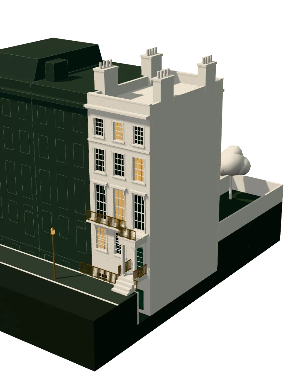
How we work on new build drawings
Seven steps from first call to approval.
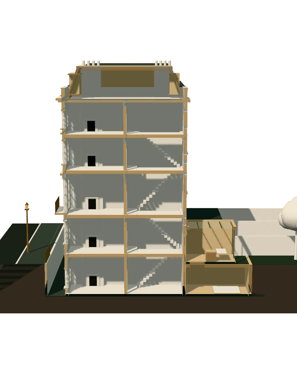
Enquiry and constraints check
We check the property against conservation areas, listed status, Article 4 directions, tree preservation orders, flood zone and planning history. We choose the right route and send a fixed quote.
Measured survey
We survey the house on one datum: rooms, levels, boundaries, drains, trees and the neighbours' windows that the 45° and 25° tests depend on.
Design options
We model the house in Revit and show you options in 3D and plan, with the planning strategy and the precedents in your street.
Design frozen
You choose an option in writing. Nothing changes after this without your say.
Independent check
A second chartered technologist checks every sheet against the council's validation checklist and the policy. A senior review signs it off before anything is submitted.
Submission
We prepare the forms, certificates, fee and documents and submit through the Planning Portal.
Officer liaison
We answer the planning officer and make any amendments within five working days, at no charge until approval.
Free redraws until approval. Every drawing set is checked independently, and the checker is never the person who drew it.
Request a fixed quote
Green belt, and the plots that sit outside it
Green belt polygons cover 53 per cent of Havering. Inside them a new house must fit one of the narrow national exceptions, and an applicant who has not checked the boundary can lose months to a refusal that was foreseeable. Outside them, a new home is judged on the ordinary suburban tests of street character, spacing and neighbours' amenity.
Our first step on a Havering job is therefore a map check against the council's published polygons, followed by a read of the site's planning history. If the plot is inside the belt we prepare an openness comparison of existing and proposed volume and footprint. If outside, we move to the street.
The development plan is the Havering Local Plan 2016-2031, adopted in 2,021, and the council's Residential Extensions and Alterations SPD and Heritage SPD sit beneath it. We cite the clauses that apply to your address in the design note.
Local figures for Havering
| Measure | Value | Period | Source |
|---|---|---|---|
| Green Belt share of the council area | 53 % of council area covered by green-belt polygons | — | planning.data.gov.uk |
| Borough CIL residential rate | £151.52/m² (Zone A, North of A1306); £66.67/m² (Zone B, South of A1306) | 2026 indexed rate (permissions granted 1 Jan–31 Dec 2026); schedule rates £125 / £55 | havering.gov.uk |
| Mayoral CIL charging band | 3 MCIL2 charging band (1-3) | — | london.gov.uk |
| Mayoral CIL rate (indexed) | 30.3 £/m² (indexed, permissions granted in 2026) | — | london.gov.uk |
| Minor application decisions | 306 decisions | 1 July 2025 - 30 June 2026 | assets.publishing.service.gov.uk |
| Minor applications granted | 64.4 % | 1 July 2025 - 30 June 2026 | assets.publishing.service.gov.uk |
| Minor applications decided in time | 96.4 % decided within 8 weeks or an agreed extended period | 1 July 2025 - 30 June 2026 | assets.publishing.service.gov.uk |
| Householder applications granted | 85.9 % | 1 July 2025 - 30 June 2026 | assets.publishing.service.gov.uk |
| Conservation areas | 11 named conservation areas published by the council | — | planning.data.gov.uk |
| Listed building entries | 146 list entries (Historic England, within the LPA boundary) | — | planning.data.gov.uk |
| Average house price | 448,648 GBP | 2026-07 | publicdata.landregistry.gov.uk |
| Erection of dwellinghouses, not more than 10: per dwellinghouse, from 1 Apr 2026 | 610 GBP per dwelling | — | ribblevalley.gov.uk |
A blank value means the figure has not been published, not that there are none. Check your own address with the council.
Building regulations, layer by layer
The Approved Documents that shape most house projects, from structure to the application itself.
- A · Part A: structure
- Approved Document A: Structure, 2004 edition incorporating 2004, 2010 and 2013 amendments
- B · Part B: fire safety
- All dwellings: fire detection and alarm system minimum Grade D2 Category LD3 (BS 5839-6), mains-operated smoke alarms to BS EN 14604
- C · Part L: insulation
- New elements in existing dwellings, limiting U-values W/(m²·K): roof 0.15, wall 0.18, floor 0.18, windows 1.4 (or WER Band B), doors 1.4
- D · Part K: stairs
- 2.0 m clear headroom over stairs
- E · Full plans application
- Building control body must decide a full plans application within 5 weeks, or longer if agreed in writing
A borough of owners and houses
76.7 per cent of Havering households live in a house or bungalow and 69.5 per cent own their home. The streets are low-rise and uniform, so a new house is compared directly with the semis and terraces on either side.
That favours careful elevations. We draw the street scene with the neighbours' ridge, eaves and window rhythm to scale, using levels from our measured building survey service, and match materials where the street has a clear palette.
Domestic gardens make up 19.5 per cent of the land, and the average Havering house sells for £448,648, so build cost and levies carry more weight in the sums.
Two levy zones on either side of a road
Havering's charging schedule is the Havering Community Infrastructure Levy Charging Schedule. Its residential rates are £151.52/m² (Zone A, North of A1306); £66.67/m² (Zone B, South of A1306) The boundary is a named road, so the side of the road your plot lies on sets the rate.
The Mayoral CIL is charged as well. Havering is in band 3, the lowest, at £30.3 per square metre this year. The council fee is £610 per dwelling for up to nine homes.
We show the levy for each design option in the quote conversation, so that the zone is known before a layout is chosen.
What Havering's minor-scheme figures show
Havering decided 306 minor applications in the latest return. It granted 64.4 per cent and decided 96.4 per cent within eight weeks or an agreed extension.
The council is quick, but it grants a smaller share of minor schemes than of householder cases, where 85.9 per cent of 985 decisions were granted. Fast refusals are as possible as fast consents, so completeness of the set matters. These are historic figures that mix extensions and changes of use with new homes.
With 11 conservation areas and 146 listed building entries, heritage is a lighter constraint here than in inner London, but a listed neighbour can still require a statement. Our planning drawings in Havering page covers the application.
Openness, volume and the maths of green belt sites
If your Havering plot is inside the green belt, the application turns on a comparison. The council will want to know what exists now and what you propose, in footprint, floor area and volume, and whether the new building has a greater impact on openness. We measure the existing buildings from the survey, including sheds and hardstanding the council may count, and we draw the proposal over them at the same scale.
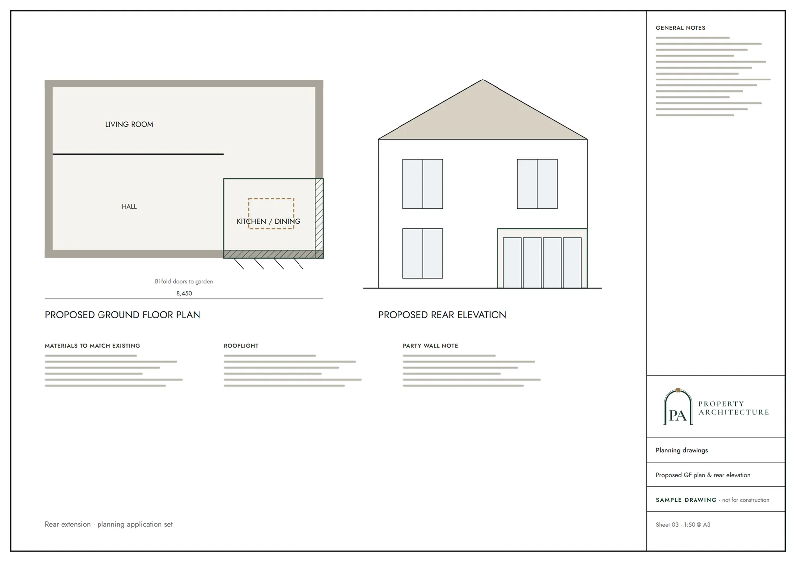
That comparison goes in the drawings as a table and as an overlay: existing in a dashed line, proposed in solid. It is the plainest way of showing an officer the net change, including any past extension or outbuilding that may be counted along with the main house.
Previously developed land has its own treatment, and we read the national policy for the exact wording before making any claim. Where a scheme depends on it, we say so on the first call and set out what evidence you would need to hold, such as a lawful use or an old planning permission.
Self-build projects often sit on this kind of plot, and the levy position is different: Self-build housing built or commissioned by and occupied by P as main residence can claim exemption. We flag it, and we leave the decision with you and the council.
For a plot outside the belt, none of this applies, and the work turns on the street instead. Either way, our lawful development certificate service in Havering can establish what is already lawful on the land before a design is fixed.
How we work
You send the address. We run the constraints check, quote a fixed fee, survey the plot, and test two or three layouts in a 3D model. You choose one in writing, then we prepare the set and, after consent, building regulations drawings in Havering.
If the council asks for changes, we redraw free until approval. We make no promise about the decision.
What you receive
Related pages
Other services in Havering
Questions
Can I build a new house in Havering's green belt?
Only within the narrow national exceptions. Green belt covers 53% of the borough, and we check your plot before design work begins.
Which Havering CIL zone applies?
The rates are £151.52/m² (Zone A, North of A1306); £66.67/m² (Zone B, South of A1306) We confirm your side of the road at quote.
How fast does Havering decide minor schemes?
96.4% of 306 minor decisions were within eight weeks or an agreed extension, but speed is no sign of the outcome.
What Mayoral CIL band is Havering in?
Band 3, at £30.3 per square metre this year.
Sources and dates
- planning.data.gov.uk, retrieved
- havering.gov.uk, retrieved
- london.gov.uk, retrieved
- london.gov.uk, retrieved
- assets.publishing.service.gov.uk, retrieved
- planning.data.gov.uk, retrieved
- planning.data.gov.uk, retrieved
- publicdata.landregistry.gov.uk, retrieved
- ribblevalley.gov.uk, retrieved
- havering.gov.uk, retrieved
- nomisweb.co.uk, retrieved
- nomisweb.co.uk, retrieved
- data.london.gov.uk, retrieved
- legislation.gov.uk, retrieved
- gov.uk, retrieved
- gov.uk, retrieved
- gov.uk, retrieved
- gov.uk, retrieved
- legislation.gov.uk, retrieved
- Contains public sector information licensed under the Open Government Licence v3.0.
- Contains OS data © Crown copyright and database right 2026.
- Contains HM Land Registry data © Crown copyright and database right 2026. This data is licensed under the Open Government Licence v3.0.
- Contains Historic England data © Historic England 2026. Contains Ordnance Survey data © Crown copyright and database right 2026.

Tell us about your property.
We check the constraints, then send a fixed fee. Messages before 3pm get a reply the same working day.