
Havering, London
Architectural drawings in Havering
More than half of Havering, 53 per cent, is Green Belt, and that single fact decides how big a house extension can be. We are MCIAT chartered architectural technologists. Our architectural drawings in Havering start at £745 including VAT, and the first step is a free check of whether your plot is inside the Green Belt.
Fixed quote after a free constraints check
- MCIAT chartered
- £2m PI insured
- LABC Partnered
- Fixed fees, VAT included
Request a fixed quote
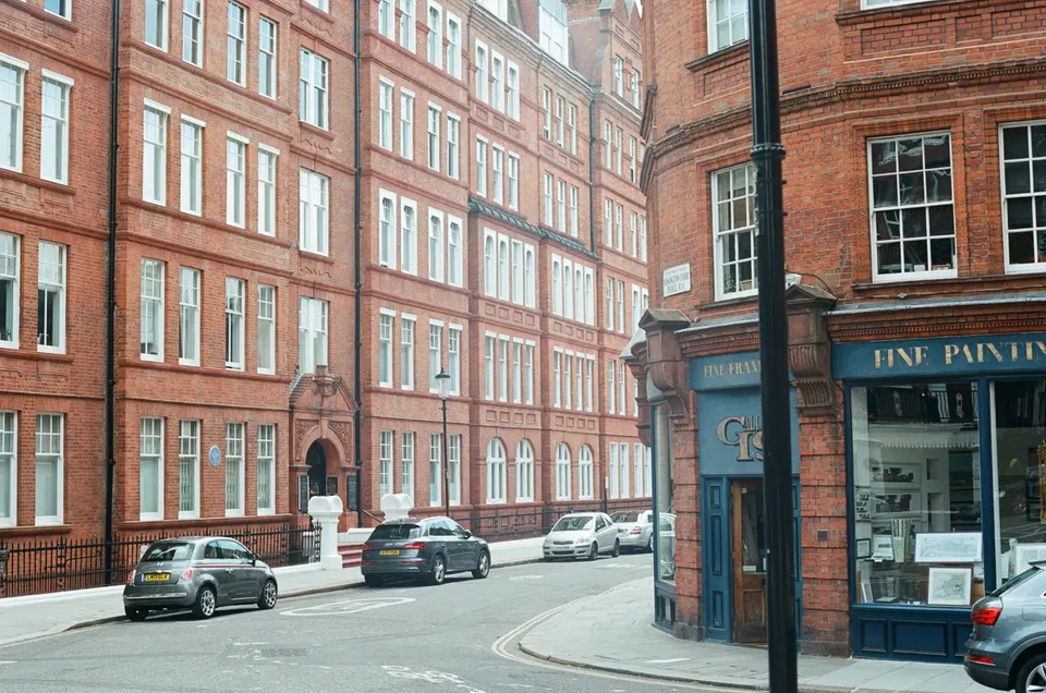
Havering in numbers
| Measure | Value | Period | Source |
|---|---|---|---|
| Green Belt share of the council area | 53 % of council area covered by green-belt polygons | — | planning.data.gov.uk |
| Conservation areas | 11 named conservation areas published by the council | — | planning.data.gov.uk |
| Listed building entries | 146 list entries (Historic England, within the LPA boundary) | — | planning.data.gov.uk |
| Heritage at Risk entries | 12 Heritage at Risk Register entries within the LPA boundary (Historic England) | — | planning.data.gov.uk |
| Householder decisions | 985 decisions | 1 July 2025 - 30 June 2026 | assets.publishing.service.gov.uk |
| Householder applications granted | 85.9 % | 1 July 2025 - 30 June 2026 | assets.publishing.service.gov.uk |
| Householder applications decided in time | 97.8 % decided within 8 weeks or an agreed extended period | 1 July 2025 - 30 June 2026 | assets.publishing.service.gov.uk |
| Households living in a house | 76.7 % of households living in a house or bungalow (detached, semi-detached or terraced) | Census 2021 | nomisweb.co.uk |
| Owner-occupied households | 69.5 % of households owner-occupied (owned outright or with mortgage/loan) | Census 2021 | nomisweb.co.uk |
| Mayoral CIL charging band | 3 MCIL2 charging band (1-3) | — | london.gov.uk |
| Mayoral CIL rate (indexed) | 30.3 £/m² (indexed, permissions granted in 2026) | — | london.gov.uk |
| Local plan | Havering Local Plan 2016-2031 | — | havering.gov.uk |
| Average price, terraced | 435,382 GBP | 2026-07 | publicdata.landregistry.gov.uk |
A blank value means the figure has not been published, not that there are none. Check your own address with the council.
Constraints check: Havering
What we check first on any Havering address. Counts are for the whole council area.
- A · Conservation areas
- 11 named conservation areas published by the council
- C · Listed building entries
- 146 list entries (Historic England, within the LPA boundary)
Green Belt first: Havering's biggest planning question
Green Belt policy treats a house extension as acceptable only when it stays proportionate to the original building. With more than half of the land protected, an owner should check early whether the size of the existing house will cap the design.
Land outside the Green Belt is judged on ordinary design and neighbour tests. Two neighbours on opposite sides of the boundary can therefore face very different rules for the same extension.
Our constraints check plots your address against the Green Belt boundary before any sketch is drawn. If you are inside it, we explain what 'original building' means for your house and what volume that leaves.
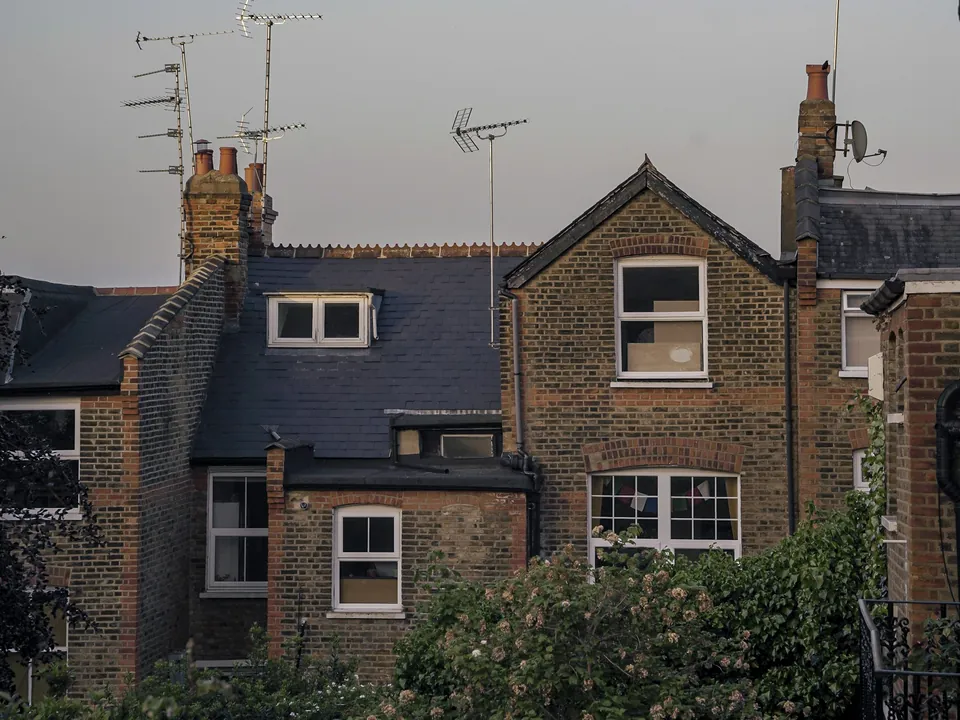
Local plan and householder guidance
Havering's development plan is the Havering Local Plan 2016-2031, adopted in 2,021. Its detailed advice on household work sits in the Residential Extensions and Alterations SPD, and character and heritage questions go to the Heritage SPD.
Officers also lean on case history, so we read recent decisions on your road to see how the guidance has been applied lately, and note any pattern in what was granted, what was refused and what was changed on the way.
Conservation areas and listed homes
The borough has 11 conservation areas. Inside one, permitted development rights are narrower and some roof alterations need full permission.
Historic England lists 146 entries in Havering: 6 at Grade I, 15 at Grade II* and 124 at Grade II. The register also names 12 entries at risk in the borough, a reminder that older buildings here need careful handling.
A listed house needs listed building consent in addition to any planning application. Tell us on the first call and we will explain which applications you need.
A borough of houses, mostly owned
Of Havering's households, 76.7 per cent live in a house or bungalow and 69.5 per cent own their home. Most Havering streets are therefore made up of homes whose owners can decide to extend, rather than flats under a freeholder.
The average terraced house sold for £435,382 in the latest Land Registry figures, and prices have moved 2.1 per cent over twelve months. Many owners weigh extending against a move.
Owners also ask us about turning a garage into a room. See garage conversion plans in Havering for what that drawing set covers.
Permitted development or a planning application?
Many single-storey rear extensions on a Havering house can be built under permitted development, within national limits on depth and height. Anything beyond those limits needs a planning application or, for the deeper rear extensions, the prior approval process.
A lawful development certificate in Havering is the document to hold if you rely on permitted development, because it proves the work was lawful when you come to sell. We draw the certificate set the same way as a planning set, so the council can check every dimension.
How quickly Havering decides householder cases
In its latest published twelve months Havering decided 985 householder applications and granted 85.9 per cent of them. A very high 97.8 per cent met the eight-week target or an agreed extension.
That timeliness is good news if you are planning a build, but it describes the whole borough and offers no assurance for any one address. We simply use it to set realistic expectations in your project timetable.
Costs and the two-zone levy
Havering sits in band 3 of the Mayor of London's levy, the lowest charging band, at £30.3 per square metre this year. The borough's own schedule has a northern and a southern zone, with £151.52/m² (Zone A, North of A1306); £66.67/m² (Zone B, South of A1306).
Levy liability depends on floor area and on the form of development, so check it early. We flag any likely liability in the pack we hand over, and point you to the council's levy team for the final figure.
Havering also has an Article 4 direction on small houses in multiple occupation, so a family-house-to-HMO change needs its own application.
Drawing services in Havering
Typical starting points are planning drawings in Havering and house extension drawings in Havering. For a bigger rear and side project, see double-storey extension drawings in Havering.
Next door we also cover Barking and Dagenham, Redbridge and Bexley.
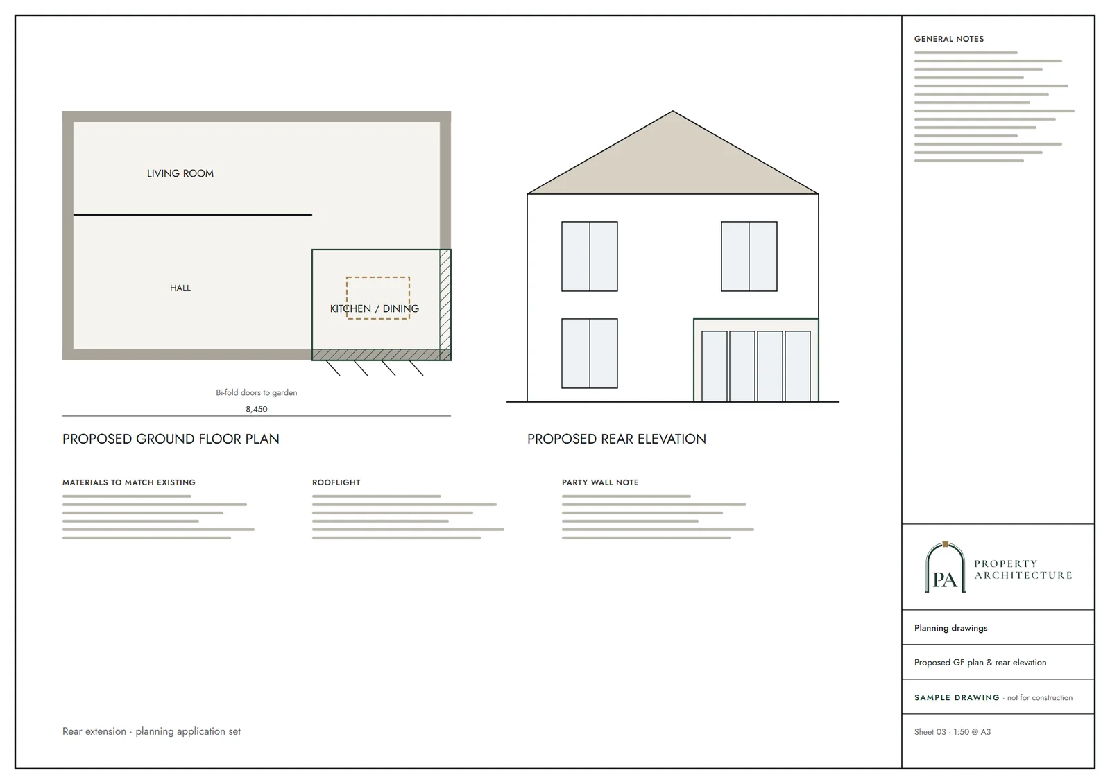
What you receive
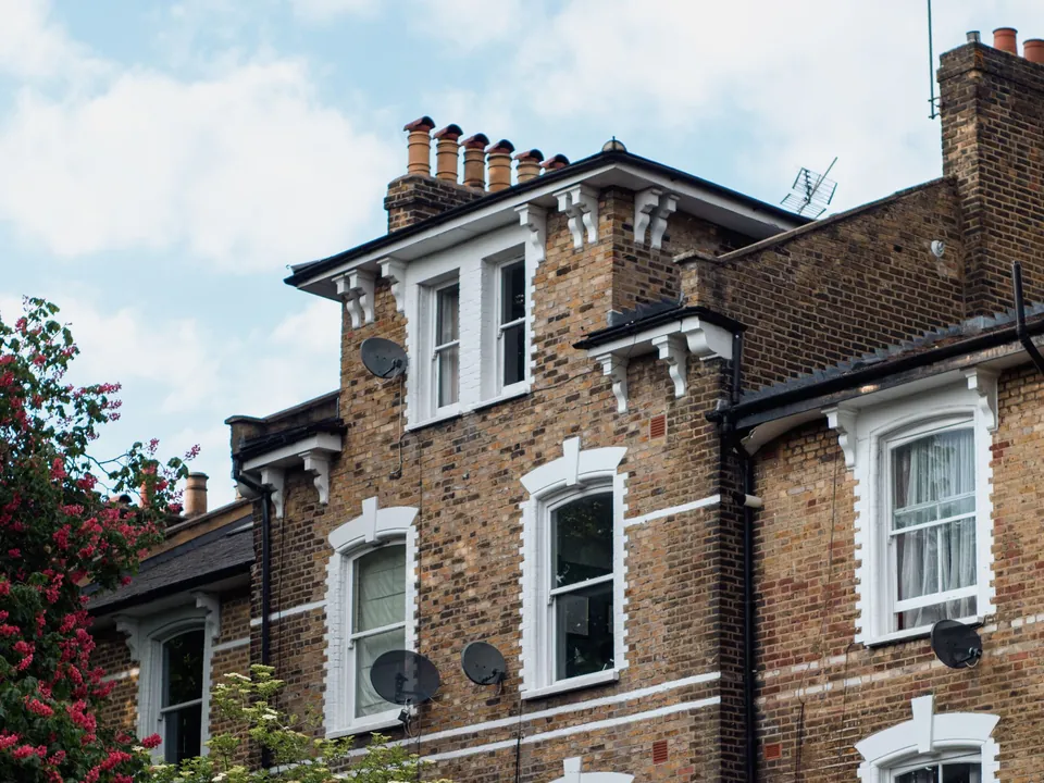
Services in Havering
- Planning drawings in Havering
- Lawful Development Certificates in Havering
- Building regulations drawings in Havering
- Structural calculations in Havering
- House extension drawings in Havering
- Rear extension drawings in Havering
- Double-storey extension drawings in Havering
- Loft conversion drawings in Havering
- Dormer loft conversion drawings in Havering
- Garage conversion plans in Havering
Questions
Can I extend a house in the Green Belt in Havering?
Sometimes, if the extension is proportionate to the original building. About 53 per cent of the borough is Green Belt, so we check your plot before designing anything.
What do architectural drawings cost in Havering?
Householder planning drawings start at £745 including VAT, quoted up front. The council's application fee is separate.
Which guidance does Havering use for extensions?
The Residential Extensions and Alterations SPD, together with the Havering Local Plan 2016-2031. We draw against both.
Is Havering quick at deciding householder applications?
In its latest figures 97.8 per cent were decided on time. That is a borough-wide record, not a promise for your case.
Sources and dates
- planning.data.gov.uk, retrieved
- planning.data.gov.uk, retrieved
- planning.data.gov.uk, retrieved
- planning.data.gov.uk, retrieved
- assets.publishing.service.gov.uk, retrieved
- nomisweb.co.uk, retrieved
- nomisweb.co.uk, retrieved
- london.gov.uk, retrieved
- london.gov.uk, retrieved
- havering.gov.uk, retrieved
- publicdata.landregistry.gov.uk, retrieved
- havering.gov.uk, retrieved
- Contains public sector information licensed under the Open Government Licence v3.0.
- Contains OS data © Crown copyright and database right 2026.
- Contains HM Land Registry data © Crown copyright and database right 2026. This data is licensed under the Open Government Licence v3.0.
- Contains Historic England data © Historic England 2026. Contains Ordnance Survey data © Crown copyright and database right 2026.

Tell us about your property.
We check the constraints, then send a fixed fee. Messages before 3pm get a reply the same working day.