
Waltham Forest, London
Basement impact assessments in Waltham Forest
A basement impact assessment in Waltham Forest is required for every application that builds, extends or deepens a basement, and it must be certified by a chartered engineer or geologist. The council's list of contents is long and specific. We coordinate the report on a fixed quote after a free constraints check.
Fixed quote after a free constraints check
- MCIAT chartered
- £2m PI insured
- LABC Partnered
- Fixed fees, VAT included
Request a fixed quote
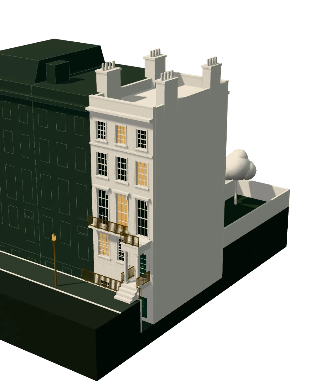
How we work on basement impact assessments
Seven steps from first call to approval.
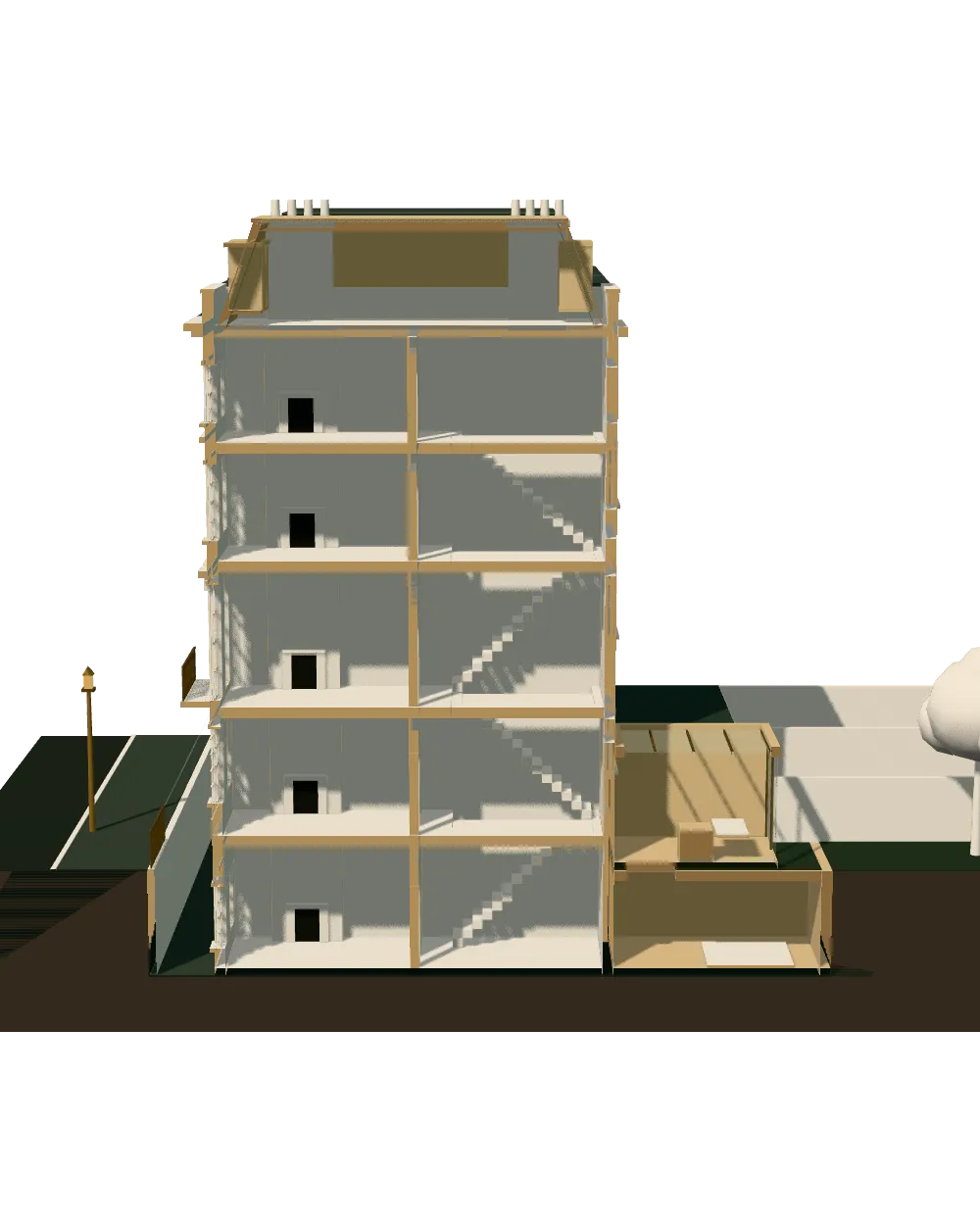
Enquiry and constraints check
We check the property against conservation areas, listed status, Article 4 directions, tree preservation orders, flood zone and planning history. We choose the right route and send a fixed quote.
Measured survey
We survey the house on one datum: rooms, levels, boundaries, drains, trees and the neighbours' windows that the 45° and 25° tests depend on.
Design options
We model the house in Revit and show you options in 3D and plan, with the planning strategy and the precedents in your street.
Design frozen
You choose an option in writing. Nothing changes after this without your say.
Independent check
A second chartered technologist checks every sheet against the council's validation checklist and the policy. A senior review signs it off before anything is submitted.
Submission
We prepare the forms, certificates, fee and documents and submit through the Planning Portal.
Officer liaison
We answer the planning officer and make any amendments within five working days, at no charge until approval.
Free redraws until approval. Every drawing set is checked independently, and the checker is never the person who drew it.
Request a fixed quote
What Waltham Forest demands of a basement impact assessment
The council's local validation checklist is explicit. Its basement entry reads: All basements; self-certified by chartered engineer or geologist. It applies to basements under houses and under outbuildings alike, and to groundworks in the top-tier archaeological priority areas.
The report must then cover groundwater and surface water flooding, the structural stability of the neighbours, construction methods and mitigation, a way of monitoring movement during the works, the cumulative effect of other basements nearby, and the effect on the highway. It must also give dimensions from the public highway, including the depth of the basement.
That list is the brief we give the engineer. The cumulative item is the one clients miss, because it means the officer will look at the basements already built in your street, not just yours. The local plan, Local Plan Part 1: Shaping the Borough 2020-2035, was adopted in 2,024, so the report is read against current policy.
Local figures for Waltham Forest
| Measure | Value | Period | Source |
|---|---|---|---|
| A Basement Impact Assessment is required for all applications that construct, extend or deepen a basement or subterranean structure (including beneath dwellings and outbuildings), and for groundworks in Tier 1 Archaeological Priority Areas. It must cover groundwater and surface water flooding, structural stability of neighbours, construction methods and mitigation, a monitoring method, cumulative basement impacts, highway impacts and dimensions from the public highway including basement depth. | All basements; self-certified by chartered engineer or geologist | — | walthamforest.gov.uk, Waltham Forest Local Validation Checklist 2025 (national and local, key changes highlighted), p.12, item 13 |
| Local plan | Local Plan Part 1: Shaping the Borough 2020-2035 | — | walthamforest.gov.uk |
| Conservation areas | 15 named conservation areas published by the council | — | planning.data.gov.uk |
| Listed building entries | 118 list entries (Historic England, within the LPA boundary) | — | planning.data.gov.uk |
| Households living in a house | 55.1 % of households living in a house or bungalow (detached, semi-detached or terraced) | Census 2021 | nomisweb.co.uk |
| Domestic gardens share of land (GLUD 2005) | 24.4 % of land that is domestic garden (GLUD 2005) | 2005 | data.london.gov.uk |
| Householder applications granted | 81.5 % | 1 July 2025 - 30 June 2026 | assets.publishing.service.gov.uk |
| Householder applications decided in time | 90.7 % decided within 8 weeks or an agreed extended period | 1 July 2025 - 30 June 2026 | assets.publishing.service.gov.uk |
| Party Wall etc. Act 1996 s6(1): excavation within 3 m horizontally of an adjoining owner's building or structure and deeper than the bottom of its foundations | 3 m | — | legislation.gov.uk |
A blank value means the figure has not been published, not that there are none. Check your own address with the council.
Which application your project needs
The usual route for a house; flats and listed buildings follow other rules.
- A · Lawful Development Certificate decision
- 8 weeks
- B · Prior approval decision
- 42 days
- C · Householder decision
- 8 weeks
Terraced streets and mid-length gardens
Just over half of households, 55.1 per cent, live in a house, and gardens cover 24.4 per cent of the land in the national land-use database. That mix of terraces with mid-length gardens suits a rear basement or a deepened lower ground floor.
The borough has 15 conservation areas, 15 Article 4 directions and 118 listed entries. The council's own guidance, the Residential Alterations and Retrofit SPD, applies to the work above ground and sits beside the basement report.
Speed of decision in Waltham Forest
The council decided 771 householder applications in its latest year and granted 81.5 per cent. Only 90.7 per cent were decided within the statutory period or an agreed extension, so build float into the programme.
A complete, validated pack avoids the first delay: the one that happens before the clock starts. Our planning drawings in Waltham Forest are prepared with the engineer's depth and highway dimensions already on the sections.
Neighbours, levy and engineering
Any excavation within 3 metres of an adjoining building and below its foundations is notifiable, as is one within 6 metres on the diagonal test. The monitoring plan in the report is evidence you can hand the neighbour's surveyor.
The borough levy is £108.79/m² (Zone A, north of North Circular); £117.15/m² (Zone B, south of North Circular), in two zones divided by the North Circular. See structural calculations in Waltham Forest for how the design is documented.
Highway setback, monitoring and cumulative evidence
The highway item catches people out. The council wants to know how close the basement comes to the road or pavement and how deep it is below it, because a street carries water mains, sewers and cables the owner does not control. We measure the setback from the public highway on site and mark it on the plan, the section and the key sheet of the report.
For monitoring, the engineer proposes trigger levels for movement, readings before, during and after the dig, and a stated action if a level is passed. Cumulative evidence is built from the council's planning register: we list the basements already approved nearby so the report can explain how yours adds to them. Your neighbours' surveyors will read the same material, so it is written to be checked.
We also keep a single index of every drawing the engineer relies on, so a reader opening the report can trace each dimension, depth and level back to a sheet. A clear index also makes it easier for a validation officer to check the pack, and for the engineer to update a sheet when a level changes after the site survey.
Cost and where to start
There is no price list for the report because depth, ground and neighbours differ. The free check ends with a fixed quote, plus a straight answer on whether your plot looks workable.
Browse architectural drawings in Waltham Forest, compare Redbridge and Haringey, or read the national basement impact assessment guide.
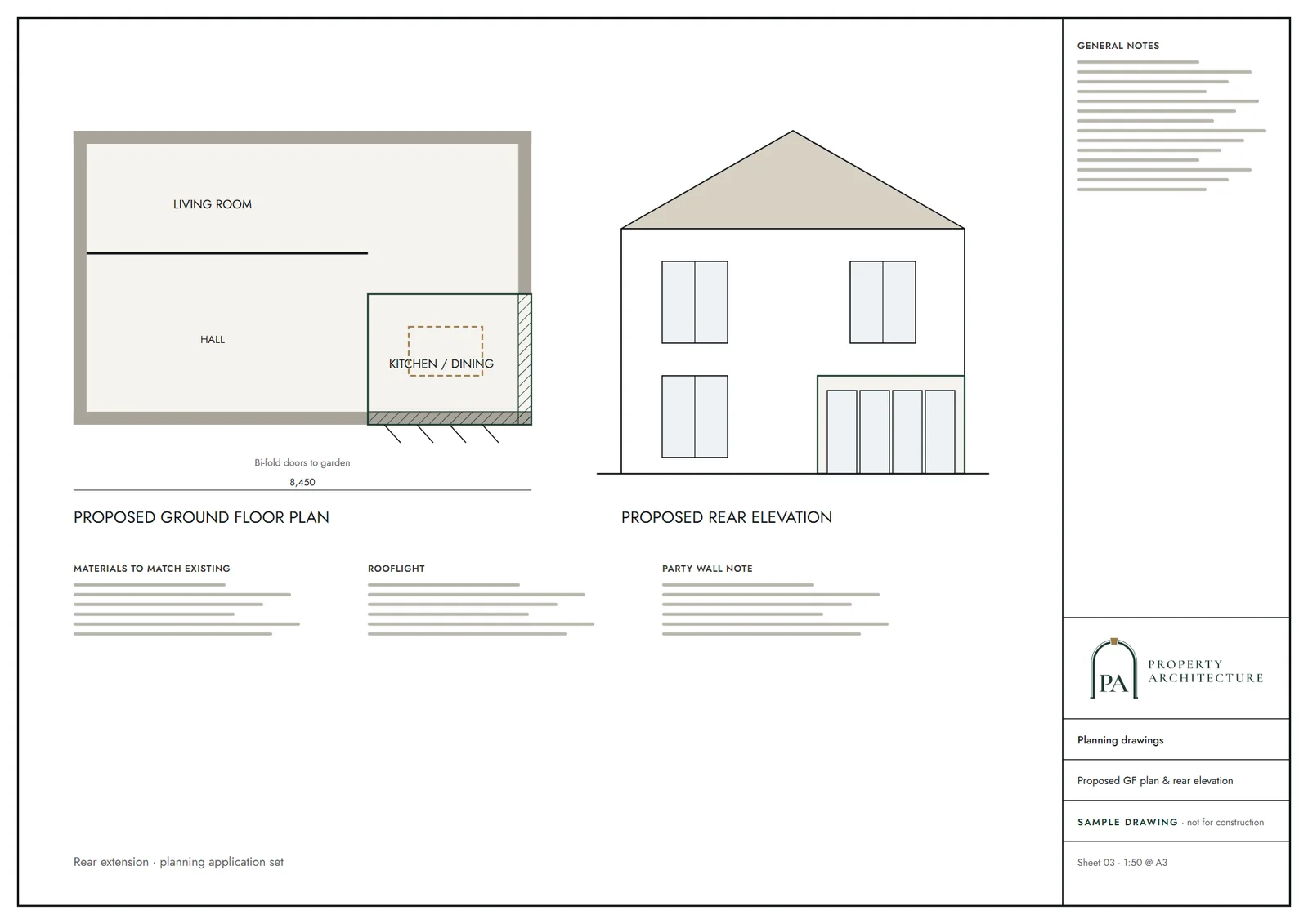
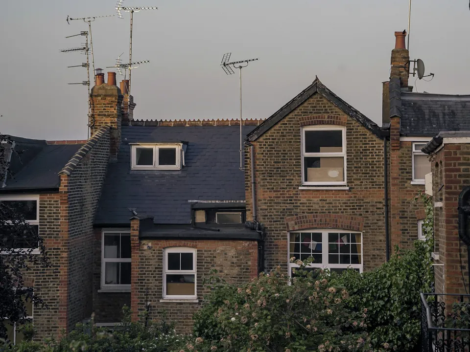
What you receive
Related pages
Other services in Waltham Forest
Questions
Who can sign a basement impact assessment in Waltham Forest?
The checklist asks for self-certification by a chartered engineer or geologist. We coordinate the engineer and the drawings.
Does an outbuilding basement need one too?
Yes. The requirement covers basements under dwellings and outbuildings, and groundworks in the top-tier archaeological priority areas.
What is the cumulative impact item?
The report must consider the combined effect of other basements nearby, so officers look at what is already built around you.
How much does it cost?
A fixed quote after a free constraints check, because depth and ground conditions change the scope.
Sources and dates
- walthamforest.gov.uk, retrieved
- walthamforest.gov.uk, retrieved
- planning.data.gov.uk, retrieved
- planning.data.gov.uk, retrieved
- nomisweb.co.uk, retrieved
- data.london.gov.uk, retrieved
- assets.publishing.service.gov.uk, retrieved
- legislation.gov.uk, retrieved
- planning.data.gov.uk, retrieved
- walthamforest.gov.uk, retrieved
- walthamforest.gov.uk, retrieved
- legislation.gov.uk, retrieved
- legislation.gov.uk, retrieved
- legislation.gov.uk, retrieved
- Contains public sector information licensed under the Open Government Licence v3.0.
- Contains OS data © Crown copyright and database right 2026.
- Contains HM Land Registry data © Crown copyright and database right 2026. This data is licensed under the Open Government Licence v3.0.
- Contains Historic England data © Historic England 2026. Contains Ordnance Survey data © Crown copyright and database right 2026.

Tell us about your property.
We check the constraints, then send a fixed fee. Messages before 3pm get a reply the same working day.