
Harrow, London
Rear extension drawings in Harrow
Harrow lets you trade extra depth for distance from your neighbour. Our rear extension drawings for Harrow houses start at £695 including VAT, and the first job on every survey is working out how much depth your plot can afford under the council's two for one rule.
From £695 (VAT included)
- MCIAT chartered
- £2m PI insured
- LABC Partnered
- Fixed fees, VAT included
Request a fixed quote
How we work on rear extension drawings
Nine steps from first call to approval.
Enquiry and constraints check
We check the property against conservation areas, listed status, Article 4 directions, tree preservation orders, flood zone and planning history. We choose the right route and send a fixed quote.
Measured survey
We survey the house on one datum: rooms, levels, boundaries, drains, trees and the neighbours' windows that the 45° and 25° tests depend on.
Design options
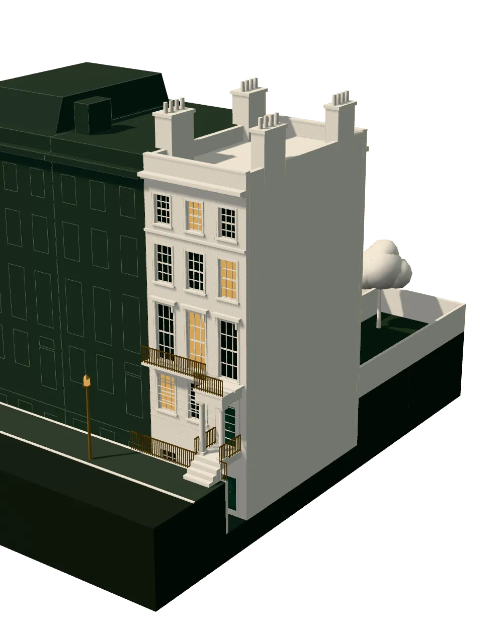
We model the house in Revit and show you options in 3D and plan, with the planning strategy and the precedents in your street.
Design frozen
You choose an option in writing. Nothing changes after this without your say.
Independent check
A second chartered technologist checks every sheet against the council's validation checklist and the policy. A senior review signs it off before anything is submitted.
Submission
We prepare the forms, certificates, fee and documents and submit through the Planning Portal.
Officer liaison
We answer the planning officer and make any amendments within five working days, at no charge until approval.
Building regulations
Technical drawings are coordinated with the structural engineer's calculations, the drainage and the planning conditions.
Approval and hand-over
Building control approval, then a next-steps pack covering the commencement notice, party wall timing and CIL.
Free redraws until approval. Every drawing set is checked independently, and the checker is never the person who drew it.
Request a fixed quote
How Harrow's design guide measures a rear extension
The Residential Design Guide treats permitted development depth as its reference point for a single-storey rear extension, with 4 m detached; 3 m semi/terraced, then adds the site and the effect on neighbours. A scheme that matches the norm starts from a settled position.
Extra depth is where the guide gets distinctive. Anything beyond the norm has to be set in from the side boundaries by twice the additional depth, which the guide expresses as 2:1 set-in. A deeper extension is therefore negotiable, but it has to step away from the fence, and the plan must show that.
Height is controlled on shared boundaries as well: 3 m flat; 3.5 m pitched mid-point. Roof balconies on extensions near a flank boundary are normally unacceptable, and flat roofs are usually conditioned against use as a terrace.
The method that follows is straightforward. Choose the depth you want, work out the set-back it demands, then test the boundary height. If the figures will not close, we change the shape of the extension instead of straining the argument.
Local figures for Harrow
| Measure | Value | Period | Source |
|---|---|---|---|
| Where permission is needed, single-storey rear extension depth is judged for consistency with permitted development (4 metres detached; 3 metres semi-detached or terraced) plus site and neighbour impact. | 4 m detached; 3 m semi/terraced | — | harrow.gov.uk, Residential Design Guide SPD 2010, p.46, para 6.59 |
| Any extra depth beyond the norm must be set away from the side boundaries by twice the extra depth sought (the 'two for one' rule). | 2:1 set-in | — | harrow.gov.uk, Residential Design Guide SPD 2010, p.47, paras 6.60-6.61 |
| Single-storey rear extensions on a neighbouring boundary should be no more than 3 metres high with a flat roof, or 3.5 metres at the mid-point of a pitched roof. | 3 m flat; 3.5 m pitched mid-point | — | harrow.gov.uk, Residential Design Guide SPD 2010, p.47, para 6.63 |
| Conservation areas | 31 named conservation areas published by the council | — | planning.data.gov.uk |
| Green Belt share of the council area | 22 % of council area covered by green-belt polygons | — | planning.data.gov.uk |
| Listed building entries | 295 list entries (Historic England, within the LPA boundary) | — | planning.data.gov.uk |
| Householder decisions | 917 decisions | 1 July 2025 - 30 June 2026 | assets.publishing.service.gov.uk |
| Householder applications granted | 81.7 % | 1 July 2025 - 30 June 2026 | assets.publishing.service.gov.uk |
| Householder applications decided in time | 93.7 % decided within 8 weeks or an agreed extended period | 1 July 2025 - 30 June 2026 | assets.publishing.service.gov.uk |
| Larger home extension prior approvals granted | 27 decisions | 2025 Q2 to 2026 Q1 (1 Apr 2025 to 31 Mar 2026) | assets.publishing.service.gov.uk |
| Larger home extension prior approvals refused | 108 decisions | 2025 Q2 to 2026 Q1 (1 Apr 2025 to 31 Mar 2026) | assets.publishing.service.gov.uk |
| GPDO 2015 Sch 2 Pt 1 Class A, para A.1(f)(i) | 3 m (attached) / 4 m (detached) beyond the original rear wall, single storey | — | legislation.gov.uk |
A blank value means the figure has not been published, not that there are none. Check your own address with the council.
Householder applications by street in Harrow
| Street | Applications | Approved |
|---|---|---|
| Headstone Lane | 31 | 79% |
| Norman Crescent | 28 | 78% |
| Albury Drive | 26 | 75% |
| Suffolk Road | 25 | 76% |
| Howberry Road | 24 | 96% |
| Evelyn Drive | 22 | 84% |
| Moss Lane | 22 | 63% |
| Whitchurch Gardens | 22 | 88% |
| Cannonbury Avenue | 21 | 90% |
| Kings Road | 21 | 53% |
| Sylvia Avenue | 21 | 95% |
| Cannon Lane | 20 | 84% |
| Alicia Gardens | 19 | 88% |
| South View Road | 19 | 61% |
| Christchurch Avenue | 18 | 60% |
Single-storey rear extension: the permitted development limits
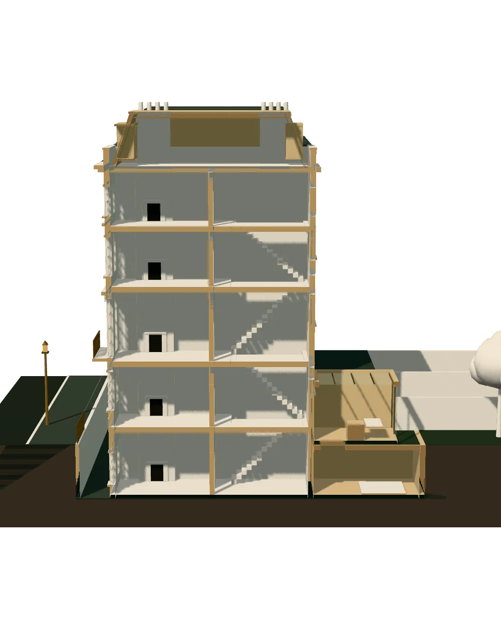
The house in section with a rear extension; the dashed lines mark the zone near the boundary.
- A · Depth beyond the original rear wall
- 3 m (attached) / 4 m (detached) beyond the original rear wall, single storey
- B · Maximum height
- 4 m
- C · Within the zone near the boundary
- Eaves no higher than 3 m where within 2 m of the curtilage boundary
- D · Larger extension under prior approval
- 6 m (attached) / 8 m (detached), single storey, height max 4 m; not on article 2(3) land or an SSSI
Working the two for one arithmetic on a real plot
The rule favours wide plots, because a wide plot has room to step the extension in from both sides. We run the arithmetic on the survey before you commit to a depth, so you see what each extra metre costs in set-back and in lost garden.
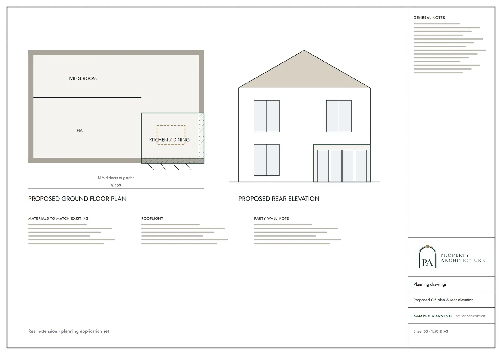
The proposed plan is dimensioned from the original rear wall to the new one and from the new one to each boundary, which lets the officer check the rule without a scale rule. The same sheet records the wall height and roof pitch.
Gardens matter too. Domestic gardens cover 34.7 per cent of Harrow's land in the Greater London Authority's land-use data, and we show how much of your own garden stays green after the build.
Junctions with the old house get the same attention. A rear bay, a side passage or a chimney stack where the new wall must tie in changes both structure and elevation, so we record each one on the survey and draw the proposal over the real condition.
Permission routes for a Harrow rear extension
A single-storey extension within the national limits may be permitted development, and a longer one can use prior approval. Harrow's record on the longer route is lopsided: 27 larger home extension prior approvals were granted and 108 refused in the latest return. For that reason we often advise a householder application with a tailored design instead.
The borough has 31 conservation areas, where the larger route is unavailable, and Historic England lists 295 entries. Green belt polygons cover 22 per cent of the area, and a house inside them faces tougher tests.
The council's householder fee is £548, paid to it apart from our fixed fee. Building regulations are a separate approval; our building regulations drawings cover steel over the opening, insulation and drainage once the design is settled.
Harrow's householder decisions
Harrow decided 917 householder applications in its latest published year and granted 81.7 per cent, with 93.7 per cent decided in time.
Those numbers describe the whole borough and predict nothing about one house. Where an officer asks for amendments, we revise and resubmit, usually after a short conversation with you about which measure to give way on.
What you receive and what it costs
A Harrow set holds existing and proposed plans, elevations and sections, with a location plan and a block plan. We charge £695 including VAT, agreed before work begins. A second chartered architectural technologist checks each sheet, and we redraw free of charge if the council asks for changes.
For the wider picture, see architectural drawings in Harrow or the general guide to rear extension drawings across London. If a loft is also on your list, loft conversion drawings in Harrow can share the same survey.
Related drawings and neighbouring boroughs
Planning to fill the side as well? Read about wraparound extension drawings in Harrow, or compare every shape in house extension drawings for Harrow.
Next door the guidance reads differently in Brent, Hillingdon and Ealing.
What you receive
Related pages
Other services in Harrow
Questions
What is Harrow's two for one rule?
Any depth beyond the norm must be set away from the side boundaries by twice the extra depth sought: 2:1 set-in.
How high can a rear extension be on the boundary in Harrow?
The design guide gives 3 m flat; 3.5 m pitched mid-point for single-storey extensions on a neighbouring boundary.
How much do rear extension drawings cost in Harrow?
From £695 including VAT, agreed before work begins.
Sources and dates
- harrow.gov.uk, retrieved
- planning.data.gov.uk, retrieved
- planning.data.gov.uk, retrieved
- planning.data.gov.uk, retrieved
- assets.publishing.service.gov.uk, retrieved
- assets.publishing.service.gov.uk, retrieved
- legislation.gov.uk, retrieved
- data.london.gov.uk, retrieved
- ribblevalley.gov.uk, retrieved
- Contains public sector information licensed under the Open Government Licence v3.0.
- Contains OS data © Crown copyright and database right 2026.
- Contains HM Land Registry data © Crown copyright and database right 2026. This data is licensed under the Open Government Licence v3.0.
- Contains Historic England data © Historic England 2026. Contains Ordnance Survey data © Crown copyright and database right 2026.

Tell us about your property.
We check the constraints, then send a fixed fee. Messages before 3pm get a reply the same working day.