
Hertsmere, Hertfordshire
Architectural drawings in Hertsmere
Architectural drawings in Hertsmere start with the Green Belt, which covers 79 per cent of this Hertfordshire borough on London's northern edge. We are MCIAT chartered architectural technologists, and our Hertsmere drawings start at £745 including VAT, after a free check of your plot against the Green Belt, 16 conservation areas and the HMO direction.
Fixed quote after a free constraints check
- MCIAT chartered
- £2m PI insured
- LABC Partnered
- Fixed fees, VAT included
Request a fixed quote
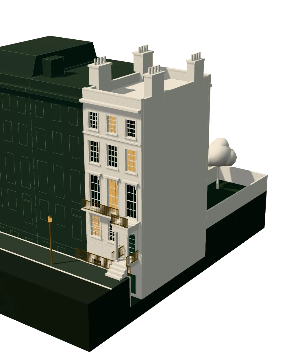
How we work on architectural drawings
Seven steps from first call to approval.
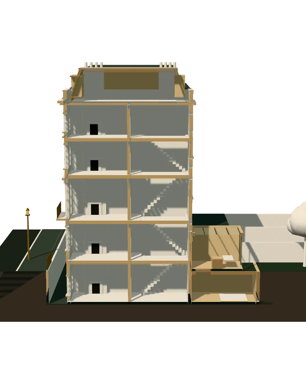
Enquiry and constraints check
We check the property against conservation areas, listed status, Article 4 directions, tree preservation orders, flood zone and planning history. We choose the right route and send a fixed quote.
Measured survey
We survey the house on one datum: rooms, levels, boundaries, drains, trees and the neighbours' windows that the 45° and 25° tests depend on.
Design options
We model the house in Revit and show you options in 3D and plan, with the planning strategy and the precedents in your street.
Design frozen
You choose an option in writing. Nothing changes after this without your say.
Independent check
A second chartered technologist checks every sheet against the council's validation checklist and the policy. A senior review signs it off before anything is submitted.
Submission
We prepare the forms, certificates, fee and documents and submit through the Planning Portal.
Officer liaison
We answer the planning officer and make any amendments within five working days, at no charge until approval.
Free redraws until approval. Every drawing set is checked independently, and the checker is never the person who drew it.
Request a fixed quote
Hertsmere in numbers
| Measure | Value | Period | Source |
|---|---|---|---|
| Green Belt share of the council area | 79 % of council area covered by green-belt polygons | — | planning.data.gov.uk |
| Conservation areas | 16 named conservation areas published by the council | — | planning.data.gov.uk |
| Listed building entries | 322 list entries (Historic England, within the LPA boundary) | — | planning.data.gov.uk |
| Heritage at Risk entries | 0 Heritage at Risk Register entries within the LPA boundary (Historic England) | — | planning.data.gov.uk |
| Householder decisions | 454 decisions | 1 July 2025 - 30 June 2026 | assets.publishing.service.gov.uk |
| Householder applications granted | 90.3 % | 1 July 2025 - 30 June 2026 | assets.publishing.service.gov.uk |
| Minor applications granted | 86.8 % | 1 July 2025 - 30 June 2026 | assets.publishing.service.gov.uk |
| Larger home extension prior approvals granted | 8 decisions | 2025 Q2 to 2026 Q1 (1 Apr 2025 to 31 Mar 2026) | assets.publishing.service.gov.uk |
| Larger home extension prior approvals refused | 21 decisions | 2025 Q2 to 2026 Q1 (1 Apr 2025 to 31 Mar 2026) | assets.publishing.service.gov.uk |
| Lawful development certificate applications (PS1) | 193 certificates | 2025 Q2 to 2026 Q1 (1 Apr 2025 to 31 Mar 2026) | assets.publishing.service.gov.uk |
| Average price, detached | 1,200,351 GBP | 2026-07 | publicdata.landregistry.gov.uk |
| Borough CIL residential rate | £200.84/m² (Area A: Elstree, Borehamwood & Potters Bar); £301.26/m² (Area B: Bushey & Radlett); £0/m² (Elstree Way Corridor). Schedule rates 2014: £120 / £180 / £0 | Annual CIL Rate Summary 2026: permissions granted 1 January to 31 December 2026 (RICS CIL index 400 / base 239) | hertsmere.gov.uk |
| Local plan | Hertsmere Local Plan 2012-2027: Core Strategy (Jan 2013), Elstree Way Corridor Area Action Plan (Jul 2015), Site Allocations and Development Management Policies Plan (Nov 2016) | — | hertsmere.gov.uk |
| Supplementary planning document | Planning and Design Guide SPD Part E: Guidelines for Residential Extensions and Alterations | 2006 | hertsmere.gov.uk |
A blank value means the figure has not been published, not that there are none. Check your own address with the council.
Constraints check: Hertsmere
What we check first on any Hertsmere address. Counts are for the whole council area.
- A · Conservation areas
- 16 named conservation areas published by the council
- C · Listed building entries
- 322 list entries (Historic England, within the LPA boundary)
A very green borough, and what it does to a house extension
Green Belt dominates this borough. With 79 per cent of the land inside the Green Belt, the first question for owners in Radlett, Shenley or the edge of Potters Bar is how much the house has already grown.
Green Belt policy restricts additions that are disproportionate to the original building. If a previous owner built a large rear room, the margin for another can be thin. We pull the planning history and measure the house before offering a view on volume, because that figure sets the ceiling for the design.
Built-up areas such as Borehamwood are largely outside the belt, where the tests are ordinary design and neighbour tests instead.
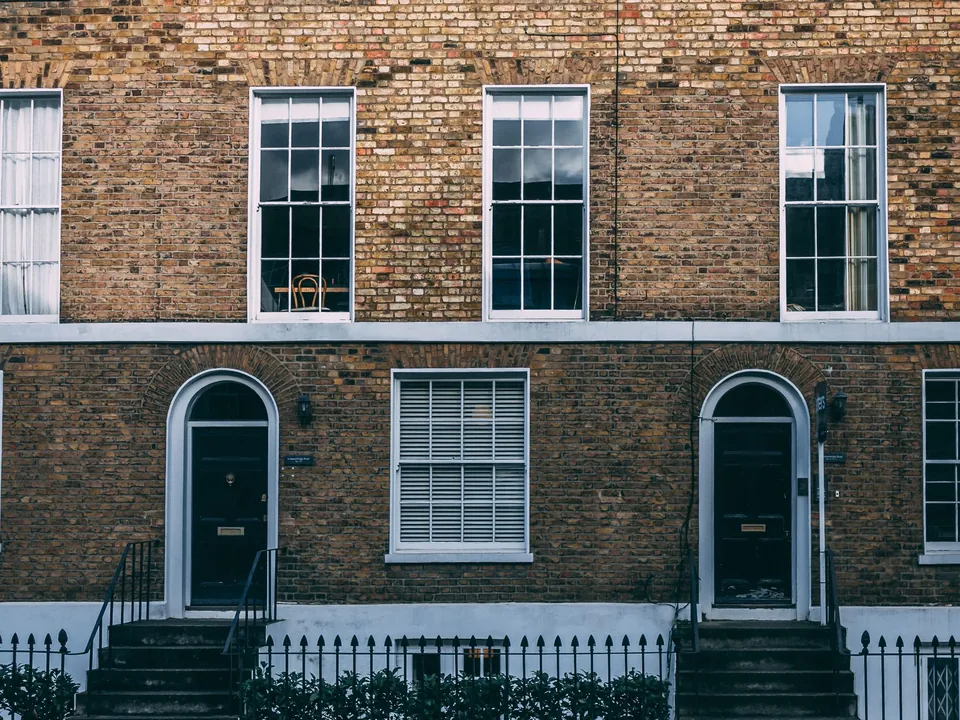
Hertsmere architectural drawings and the local guidance
Hertsmere's plan is a stack of older documents: the Hertsmere Local Plan 2012-2027: Core Strategy (Jan 2013), Elstree Way Corridor Area Action Plan (Jul 2015), Site Allocations and Development Management Policies Plan (Nov 2016). The core strategy dates from 2,013, so its policies are well settled, and the council has not replaced them with a single new plan.
For household work the guide is the Planning and Design Guide SPD Part E: Guidelines for Residential Extensions and Alterations. What has been approved nearby is worth reading alongside it. The Planning and Design Guide SPD Part D: Guidelines for Development covers larger schemes and sets out the wider design principles.
Our drawing notes say which paragraph of the guide each feature answers, and where a design departs from it we explain why on the covering note.
Prior approval refusals and the case for a householder application
In the latest national statistics the council granted 8 larger home extension prior approvals and refused 21. Refusals are far more common than approvals, which makes a deep rear extension under prior approval a gamble in this borough.
We test the proposal against the neighbours' windows and boundaries before suggesting the route, and we move to a householder application when the odds look poor. The proposed drawings are much the same either way, so little work is lost.
Our prior approval drawings in Hertsmere are prepared on that footing, and a lawful development certificate remains the proof for work that sits within the limits. The council took in 193 certificate applications in the same year.
Householder decisions, minor applications and timing
Hertsmere decided 454 householder applications in its latest twelve months, granting 90.3 per cent, with 90.7 per cent decided in eight weeks or an agreed extension. The national series records 466 householder decisions and 94 per cent granted.
Minor applications, a category that includes new single dwellings and conversions, were granted at 86.8 per cent across 189 decisions. Those are all past results. We use them to set sensible expectations for your programme and nothing beyond that.
Heritage without the risk register
Alongside 16 conservation areas, Historic England records 322 listed entries: 3 at Grade I, 13 at Grade II* and 300 at Grade II. The borough has 4 registered parks and gardens and 4 scheduled monuments. Unusually, it has 0 entries on the Heritage at Risk Register.
Listed building consent is a separate application. If your house, barn or garden wall may be listed, ask us on the first call; the search takes minutes.
Housing, prices and the levy in two areas
At the Census the borough had 42,682 households. 71.5 per cent lived in a house or bungalow and 64.2 per cent owned their home. A semi-detached house averaged £615,098 and a detached house £1,200,351, so a drawing set is a small cost against the build.
Hertsmere charges the levy under its Hertsmere Borough Council Community Infrastructure Levy Charging Schedule (September 2014): £200.84/m² (Area A: Elstree, Borehamwood & Potters Bar); £301.26/m² (Area B: Bushey & Radlett); £0/m² (Elstree Way Corridor). Schedule rates 2014: £120 / £180 / £0. Bushey and Radlett pay more than Elstree, Borehamwood and Potters Bar, and the Elstree Way corridor pays nothing. The council has also confirmed an Article 4 direction on houses in multiple occupation for part of the borough, so check whether it applies and is in force before you convert a family home to shared rooms.
Architectural drawings in Hertsmere: services and nearby councils
Most clients start with planning drawings in Hertsmere, then add building regulations drawings in Hertsmere for the build. For a ground-floor project see house extension drawings in Hertsmere.
We also draw garage conversion plans and new build drawings. Across the boundary, read our pages for Barnet, Three Rivers and Harrow. If the council asks for changes we redraw at no charge.
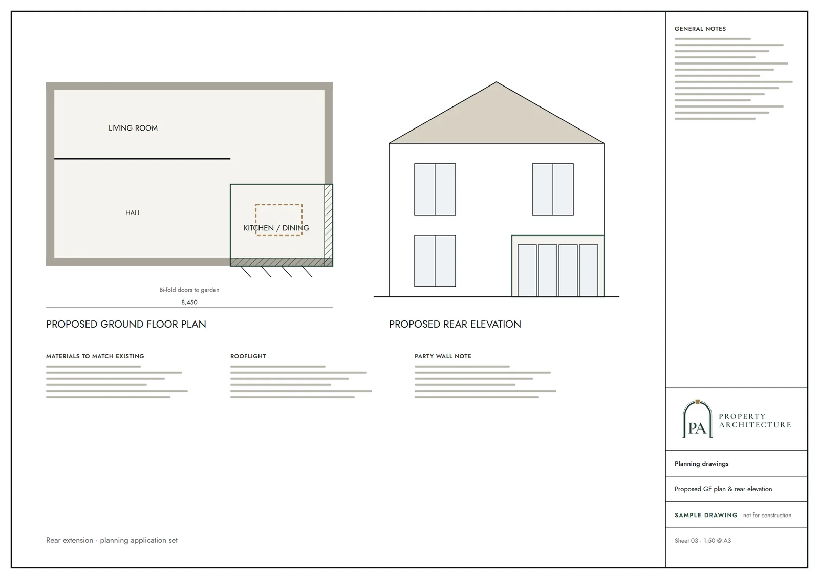
What you receive
Questions
Can I extend a house in the Hertsmere Green Belt?
Yes, if the extension is not disproportionate to the original building. We measure and trace the history before advising on volume.
How much are architectural drawings in Hertsmere?
Householder planning drawings start at £745 including VAT, after a free constraints check.
Which guide does Hertsmere use for house extensions?
The Planning and Design Guide SPD Part E: Guidelines for Residential Extensions and Alterations, read with the local plan documents.
Is prior approval worth trying for a large rear extension in Hertsmere?
The latest national figures show 8 granted and 21 refused. We assess your neighbours before recommending it.
Sources and dates
- planning.data.gov.uk, retrieved
- planning.data.gov.uk, retrieved
- planning.data.gov.uk, retrieved
- planning.data.gov.uk, retrieved
- assets.publishing.service.gov.uk, retrieved
- assets.publishing.service.gov.uk, retrieved
- publicdata.landregistry.gov.uk, retrieved
- hertsmere.gov.uk, retrieved
- hertsmere.gov.uk, retrieved
- hertsmere.gov.uk, retrieved
- assets.publishing.service.gov.uk, retrieved
- planning.data.gov.uk, retrieved
- planning.data.gov.uk, retrieved
- nomisweb.co.uk, retrieved
- nomisweb.co.uk, retrieved
- nomisweb.co.uk, retrieved
- hertsmere.gov.uk, retrieved
- Contains public sector information licensed under the Open Government Licence v3.0.
- Contains OS data © Crown copyright and database right 2026.
- Contains HM Land Registry data © Crown copyright and database right 2026. This data is licensed under the Open Government Licence v3.0.
- Contains Historic England data © Historic England 2026. Contains Ordnance Survey data © Crown copyright and database right 2026.

Tell us about your property.
We check the constraints, then send a fixed fee. Messages before 3pm get a reply the same working day.