
Southwark, London
Basement impact assessments in Southwark
A basement impact assessment in Southwark is the engineering report the council reads against its flood policy before it will validate a dig-down. Water, drainage and the neighbours set the scope of the work. We coordinate it, with the drawings the engineer needs, on a fixed quote after a free constraints check.
Fixed quote after a free constraints check
- MCIAT chartered
- £2m PI insured
- LABC Partnered
- Fixed fees, VAT included
Request a fixed quote
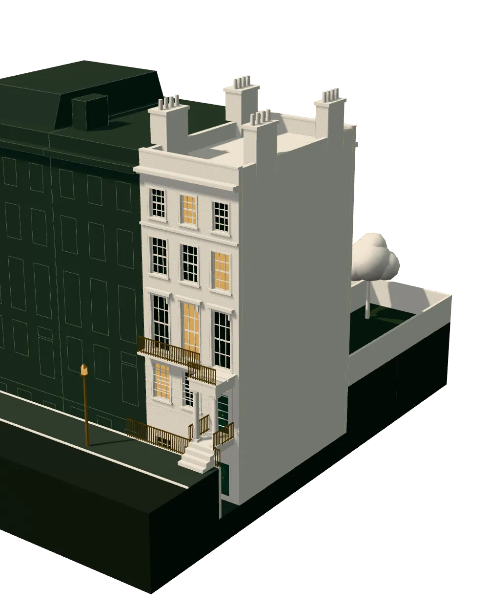
How we work on basement impact assessments
Seven steps from first call to approval.
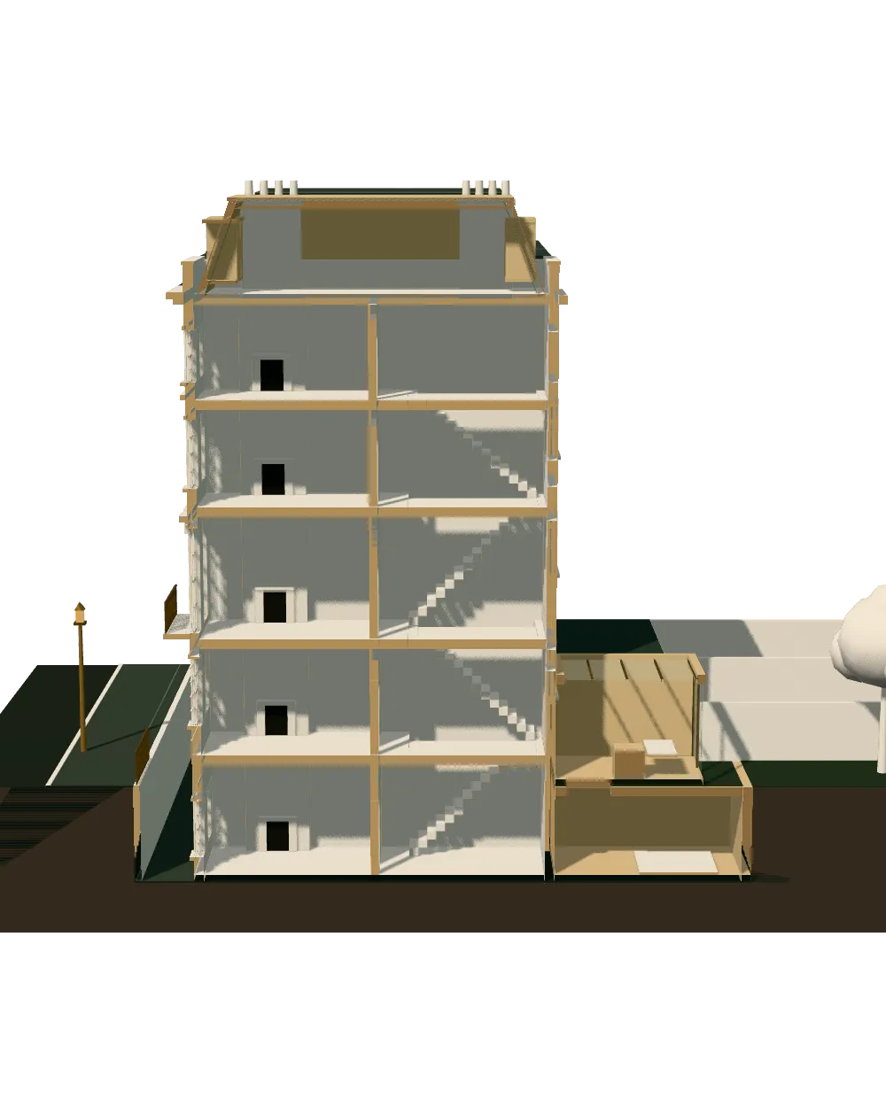
Enquiry and constraints check
We check the property against conservation areas, listed status, Article 4 directions, tree preservation orders, flood zone and planning history. We choose the right route and send a fixed quote.
Measured survey
We survey the house on one datum: rooms, levels, boundaries, drains, trees and the neighbours' windows that the 45° and 25° tests depend on.
Design options
We model the house in Revit and show you options in 3D and plan, with the planning strategy and the precedents in your street.
Design frozen
You choose an option in writing. Nothing changes after this without your say.
Independent check
A second chartered technologist checks every sheet against the council's validation checklist and the policy. A senior review signs it off before anything is submitted.
Submission
We prepare the forms, certificates, fee and documents and submit through the Planning Portal.
Officer liaison
We answer the planning officer and make any amendments within five working days, at no charge until approval.
Free redraws until approval. Every drawing set is checked independently, and the checker is never the person who drew it.
Request a fixed quote
Basement impact assessment in Southwark: the flood test
Southwark hangs its basement test on flood risk. The Southwark Plan 2022, adopted in 2,022, sets the policy, and the council's validation table shows how it is applied: BIA tied to P68 flood policy. In plain terms, the basement report is requested alongside a flood risk assessment, a drainage proforma and a foul sewage and utilities assessment, and officers check the site against three map layers: flood zones, critical drainage areas and surface water flood risk.
The residential design policy adds a second hurdle. A basement must not cause adverse archaeological, amenity or environmental effects, so the report has to say more than what the soil is like. A lightwell that sits close to a neighbour's window, or a dig where buried remains are plausible, can fail on those grounds even when the groundwater is benign.
Our first job is therefore to lay your address over the three flood layers, before a single drawing is started. If one is triggered, the engineer's scope grows and the quote reflects it. If none is, we tell you, and the project may need a lighter document than you feared.
Local figures for Southwark
| Measure | Value | Period | Source |
|---|---|---|---|
| Validation table for Policy P68 (reducing flood risk) lists Flood Risk Assessment, Basement Impact Assessment, SUDS proforma and foul sewage and utilities assessment (mapping layers: flood zones, critical drainage areas, surface water flood risk). | BIA tied to P68 flood policy | — | services.southwark.gov.uk, Southwark Plan 2022: validation requirements and relevant planning documents, P68 row, PDF p.15 |
| Local plan | Southwark Plan 2022 | — | southwark.gov.uk |
| Conservation areas | 53 named conservation areas published by the council | — | planning.data.gov.uk |
| Article 4 directions | 480 Article 4 directions published by the council | — | planning.data.gov.uk |
| Listed building entries | 919 list entries (Historic England, within the LPA boundary) | — | planning.data.gov.uk |
| Households living in a house | 21.8 % of households living in a house or bungalow (detached, semi-detached or terraced) | Census 2021 | nomisweb.co.uk |
| Domestic gardens share of land (GLUD 2005) | 17.6 % of land that is domestic garden (GLUD 2005) | 2005 | data.london.gov.uk |
| Householder applications granted | 94.8 % | 1 July 2025 - 30 June 2026 | assets.publishing.service.gov.uk |
| Party Wall etc. Act 1996 s6(1): excavation within 3 m horizontally of an adjoining owner's building or structure and deeper than the bottom of its foundations | 3 m | — | legislation.gov.uk |
| Approved Document C (2004 ed. incl. 2010/2013) para 3.2: where the water table can rise to within 0.25 m of the lowest floor, drain by gravity or other effective means; para 3.4 groundwater stability; basement walls under groundwater pressure covered in the walls section | 0.25 m | — | gov.uk |
A blank value means the figure has not been published, not that there are none. Check your own address with the council.
Which application your project needs
The usual route for a house; flats and listed buildings follow other rules.
- A · Lawful Development Certificate decision
- 8 weeks
- B · Prior approval decision
- 42 days
- C · Householder decision
- 8 weeks
Terraces, flats and heritage in the borough
Southwark's published record lists 53 conservation areas, 919 listed entries and 480 Article 4 directions. A basement under a listed house, or inside a conservation area, carries the heritage case in the same submission, so the lightwell, the front elevation and any railings are drawn and justified together with the engineer's findings.
Only 21.8 per cent of households live in a house, so most of the borough is flats and maisonettes. Where a basement is realistic it is usually a lower-ground conversion beneath a terrace, and an average terraced home sells for £838,160. That price is why owners weigh a dig against moving.
Domestic gardens cover just 17.6 per cent of the borough's land in the national land-use database. Rear plots are short, so neighbours' foundations are never far from the excavation, and the party wall and underpinning questions arrive early.
What Southwark's decision figures tell a basement client
In its latest year the council decided 558 householder applications, granted 94.8 per cent and decided 95.3 per cent inside the statutory period or an agreed extension. Minor applications, which take in small residential schemes, were granted at 90.2 per cent across 560 decisions.
These are borough-wide rates, not a forecast for your street. They do show a council that decides quickly and checks detail, so a pack in which the report, sections and flood evidence agree with each other is worth more than a thick one. If the basement is part of a larger job, our planning drawings in Southwark are produced to the same pack.
Neighbours, drainage and the dig itself
A party wall notice is needed for excavation within 3 metres of a neighbouring building that goes below its foundations, and within 6 metres where the dig meets a diagonal plane drawn down from those foundations. Serve it at least 1 month before work starts, with plans and sections.
Building Regulations then govern the floor and walls. Where groundwater can rise within 0.25 metres of the lowest floor, it must be drained or otherwise controlled. Our structural calculations in Southwark page explains how the engineer's design and our drawings are issued together.
Lightwells, railings and the street frontage
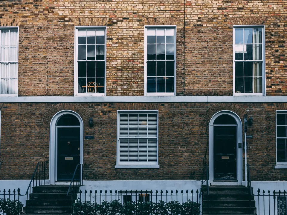
Front elevations are where a Southwark basement is seen. Terraces in a conservation area usually have shallow front gardens, so a lightwell has to be drawn against the street with its railings, grille and any change to the bay window. Officers compare it with the houses either side, and a design that echoes an existing lightwell is easier to explain than a new type. We draw the front elevation in context, with the neighbours shown, so the precedent is visible without a search.
Rear lightwells and a glazed link to the garden are judged on amenity: the daylight they send into a neighbour's room, and the noise from any plant room. That is the amenity limb of the design policy, and it belongs in the same pack as the water evidence.
Cost, timing and where to begin
There is no list price, because depth, soil and flood layers change the work. After the free check you receive a fixed quote, and if the council is unlikely to ask for a full report on your project we say that plainly.
For the wider picture, read our overview of architectural drawings in Southwark. Neighbouring boroughs apply the rule differently: see Lambeth and Lewisham, or the national guide at basement impact assessments.
What you receive
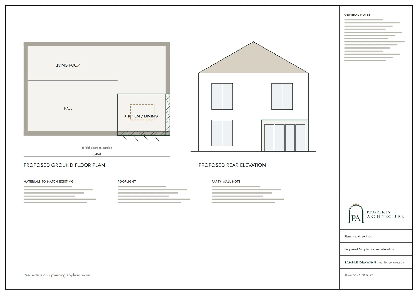
Related pages
Other services in Southwark
Questions
Do I need a basement impact assessment in Southwark?
The council's validation table lists one beside the flood risk assessment where the flood policy applies. We check your address against the three flood map layers first and tell you whether a full report is likely.
Which Southwark maps decide the scope of the report?
Flood zones, critical drainage areas and surface water flood risk. A site that triggers any of them needs the drainage and flood documents as well as the basement report.
Can a basement go under a flat or a listed house in Southwark?
Sometimes. Flats usually need the freeholder's consent, and a listed house or conservation-area property needs the heritage case in the same submission, so we draw both.
How much does it cost?
It is a fixed quote after a free constraints check, not a list price, because depth, soil and flood layers change the scope.
Sources and dates
- services.southwark.gov.uk, retrieved
- southwark.gov.uk, retrieved
- planning.data.gov.uk, retrieved
- planning.data.gov.uk, retrieved
- planning.data.gov.uk, retrieved
- nomisweb.co.uk, retrieved
- data.london.gov.uk, retrieved
- assets.publishing.service.gov.uk, retrieved
- legislation.gov.uk, retrieved
- gov.uk, retrieved
- publicdata.landregistry.gov.uk, retrieved
- legislation.gov.uk, retrieved
- legislation.gov.uk, retrieved
- legislation.gov.uk, retrieved
- Contains public sector information licensed under the Open Government Licence v3.0.
- Contains OS data © Crown copyright and database right 2026.
- Contains HM Land Registry data © Crown copyright and database right 2026. This data is licensed under the Open Government Licence v3.0.
- Contains Historic England data © Historic England 2026. Contains Ordnance Survey data © Crown copyright and database right 2026.

Tell us about your property.
We check the constraints, then send a fixed fee. Messages before 3pm get a reply the same working day.