
Enfield, London
Architectural drawings in Enfield
Enfield stretches from dense north London streets to open countryside: green belt covers 37 per cent of the borough and 33 Article 4 areas are mapped. Our MCIAT chartered architectural technologists prepare architectural drawings for Enfield homes from £745 including VAT.
Fixed quote after a free constraints check
- MCIAT chartered
- £2m PI insured
- LABC Partnered
- Fixed fees, VAT included
Request a fixed quote
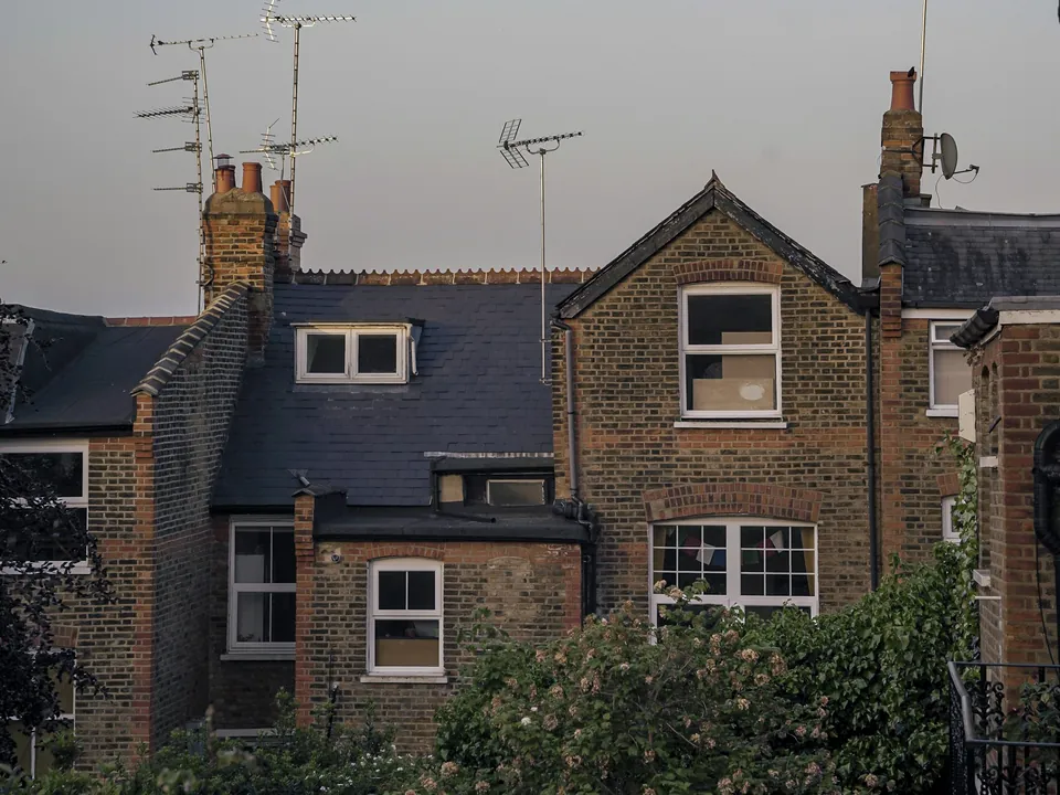
Enfield in numbers
| Measure | Value | Period | Source |
|---|---|---|---|
| Green Belt share of the council area | 37 % of council area covered by green-belt polygons | — | planning.data.gov.uk |
| Article 4 direction areas | 33 Article 4 direction area polygons published by the council | — | planning.data.gov.uk |
| Conservation areas | 24 named conservation areas published by the council | — | planning.data.gov.uk |
| Listed building entries | 301 list entries (Historic England, within the LPA boundary) | — | planning.data.gov.uk |
| Householder decisions | 934 decisions | 1 July 2025 - 30 June 2026 | assets.publishing.service.gov.uk |
| Householder applications granted | 83.4 % | 1 July 2025 - 30 June 2026 | assets.publishing.service.gov.uk |
| Householder applications decided in time | 92.4 % decided within 8 weeks or an agreed extended period | 1 July 2025 - 30 June 2026 | assets.publishing.service.gov.uk |
| Households living in a house | 61.2 % of households living in a house or bungalow (detached, semi-detached or terraced) | Census 2021 | nomisweb.co.uk |
| Mayoral CIL charging band | 2 MCIL2 charging band (1-3) | — | london.gov.uk |
| Mayoral CIL rate (indexed) | 72.73 £/m² (indexed, permissions granted in 2026) | — | london.gov.uk |
A blank value means the figure has not been published, not that there are none. Check your own address with the council.
Householder applications by street in Enfield
| Street | Applications | Approved |
|---|---|---|
| Lonsdale Drive | 43 | 85% |
| Wynchgate | 37 | 84% |
| Prince George Avenue | 35 | 83% |
| South Lodge Drive | 32 | 74% |
| Old Park Ridings | 29 | 64% |
| The Chine | 29 | 66% |
| Beech Hill Avenue | 28 | 76% |
| Chase Road | 28 | 56% |
| Lakenheath | 28 | 70% |
| Lancaster Avenue | 28 | 77% |
| Winchmore Hill Road | 28 | 75% |
| Conway Road | 27 | 78% |
| Merryhills Drive | 27 | 85% |
| Derwent Road | 25 | 73% |
| Woodland Way | 25 | 67% |
Constraints check: Enfield
What we check first on any Enfield address. Counts are for the whole council area.
- A · Conservation areas
- 24 named conservation areas published by the council
- C · Listed building entries
- 301 list entries (Historic England, within the LPA boundary)
Architectural drawings in a borough of two halves
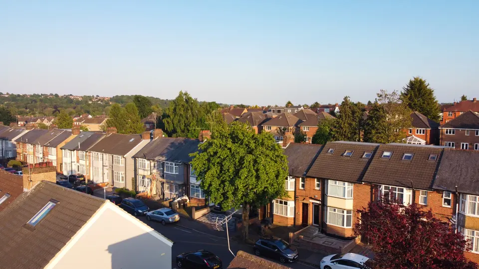
61.2 per cent of Enfield's 120,923 households live in a house or bungalow, and 52.4 per cent own their home. Gardens cover 21.7 per cent of the land.
A suburban semi and a house in open countryside are in different planning worlds. Inside the green belt, the question is how large the extension is compared with the original building. Inside the built-up area, it is the street and the neighbours.
Our constraints check settles which world you are in before we draw.
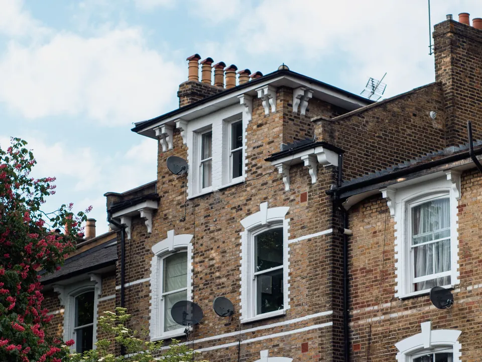
Article 4 and conservation in Enfield
The council has 33 mapped Article 4 areas. Each removes a right that permitted development would otherwise give, such as changing a front window or knocking down a boundary wall.
There are also 24 conservation areas. Historic England lists 301 entries: 3 at Grade I, 22 at Grade II* and 274 at Grade II, and 22 entries sit on the Heritage at Risk Register.
Check the area map before buying a house with extension plans. Rights that exist on one road may be gone on the next.
What guidance Enfield publishes
TODO (writer): Enfield's adopted local plan name and any householder SPD, not confirmed from a council page because enfield.gov.uk refused automated access
Until that is confirmed we will not quote a guide. What we can say is that the borough decides householder applications against its local plan and the character of each street, and our drawings show neighbour relationships clearly because those are what cases turn on.
The council's online register is open to everyone. A search of your own road for past extensions is the quickest way to see what was allowed.
How Enfield performs on householder applications
Enfield decided 934 householder applications in the latest twelve months and granted 83.4 per cent. About 92.4 per cent met the eight-week target or an agreed extension.
National statistics for a nearby period show 999 decisions and 83.1 per cent granted. The council also recorded 636 lawful development certificates.
A Lawful Development Certificate in Enfield is worth thinking about for a rear extension or loft that fits permitted limits. These are past figures, not a promise.
Levy and costs in Enfield
Enfield is in band 2 of the Mayor's levy at £72.73 per square metre for permissions granted this year. Check the borough schedule too before committing to a large scheme.
We note any liability in the hand-over pack.
Choosing the right Enfield service
Start with planning drawings in Enfield if permitted development is out. For attics, see loft conversion drawings in Enfield, and for ground-floor space house extension drawings in Enfield.
Neighbouring pages: Barnet, Haringey and Waltham Forest.
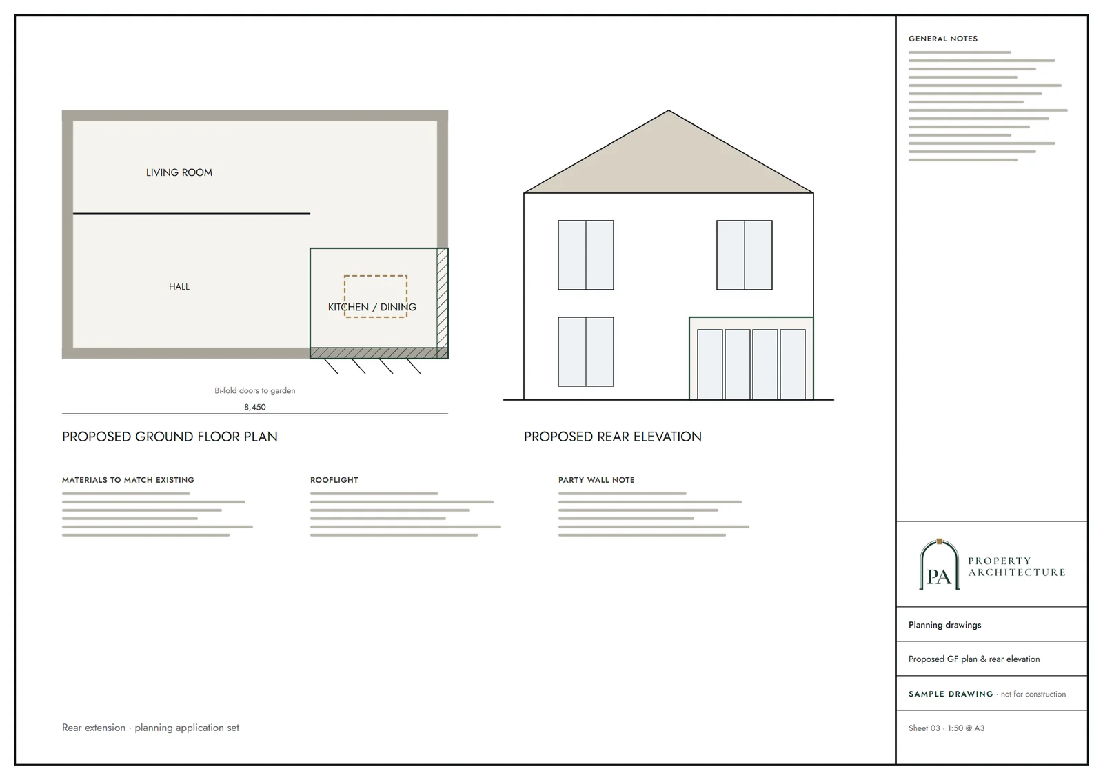
What you receive
Services in Enfield
- Planning drawings in Enfield
- Lawful Development Certificates in Enfield
- Building regulations drawings in Enfield
- House extension drawings in Enfield
- Rear extension drawings in Enfield
- Double-storey extension drawings in Enfield
- Loft conversion drawings in Enfield
- Dormer loft conversion drawings in Enfield
- Garage conversion plans in Enfield
Questions
Is my Enfield house in the green belt?
About 37 per cent of the borough is. We check your address free before quoting.
How much do architectural drawings cost in Enfield?
Householder planning drawings start at £745 including VAT, fixed up front.
Can I use permitted development in Enfield?
Often, but not always. With 33 Article 4 areas and 24 conservation areas, we confirm your route first.
How often does Enfield grant householder applications?
83.4 per cent in the latest figures. This is history and not a promise.
Sources and dates
- planning.data.gov.uk, retrieved
- planning.data.gov.uk, retrieved
- planning.data.gov.uk, retrieved
- planning.data.gov.uk, retrieved
- assets.publishing.service.gov.uk, retrieved
- nomisweb.co.uk, retrieved
- london.gov.uk, retrieved
- london.gov.uk, retrieved
- nomisweb.co.uk, retrieved
- nomisweb.co.uk, retrieved
- data.london.gov.uk, retrieved
- planning.data.gov.uk, retrieved
- assets.publishing.service.gov.uk, retrieved
- assets.publishing.service.gov.uk, retrieved
- Contains public sector information licensed under the Open Government Licence v3.0.
- Contains OS data © Crown copyright and database right 2026.
- Contains HM Land Registry data © Crown copyright and database right 2026. This data is licensed under the Open Government Licence v3.0.
- Contains Historic England data © Historic England 2026. Contains Ordnance Survey data © Crown copyright and database right 2026.

Tell us about your property.
We check the constraints, then send a fixed fee. Messages before 3pm get a reply the same working day.