
Kingston upon Thames, London
Wraparound extension drawings in Kingston upon Thames
Wraparound extension drawings in Kingston upon Thames meet an unusual statistic: 7,145 tree preservation zones are mapped across the borough, and the council refused 35 larger home extension prior approvals against 3 granted. Our MCIAT chartered architectural technologists draw wraparounds from £1,195 including VAT, and test trees and neighbours first.
From £1,195 (VAT included)
- MCIAT chartered
- £2m PI insured
- LABC Partnered
- Fixed fees, VAT included
Request a fixed quote
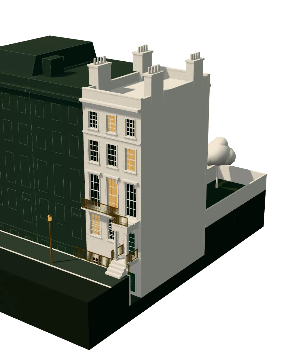
How we work on wraparound extension drawings
Nine steps from first call to approval.
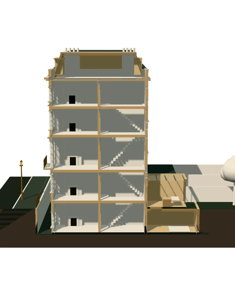
Enquiry and constraints check
We check the property against conservation areas, listed status, Article 4 directions, tree preservation orders, flood zone and planning history. We choose the right route and send a fixed quote.
Measured survey
We survey the house on one datum: rooms, levels, boundaries, drains, trees and the neighbours' windows that the 45° and 25° tests depend on.
Design options
We model the house in Revit and show you options in 3D and plan, with the planning strategy and the precedents in your street.
Design frozen
You choose an option in writing. Nothing changes after this without your say.
Independent check
A second chartered technologist checks every sheet against the council's validation checklist and the policy. A senior review signs it off before anything is submitted.
Submission
We prepare the forms, certificates, fee and documents and submit through the Planning Portal.
Officer liaison
We answer the planning officer and make any amendments within five working days, at no charge until approval.
Building regulations
Technical drawings are coordinated with the structural engineer's calculations, the drainage and the planning conditions.
Approval and hand-over
Building control approval, then a next-steps pack covering the commencement notice, party wall timing and CIL.
Free redraws until approval. Every drawing set is checked independently, and the checker is never the person who drew it.
Request a fixed quote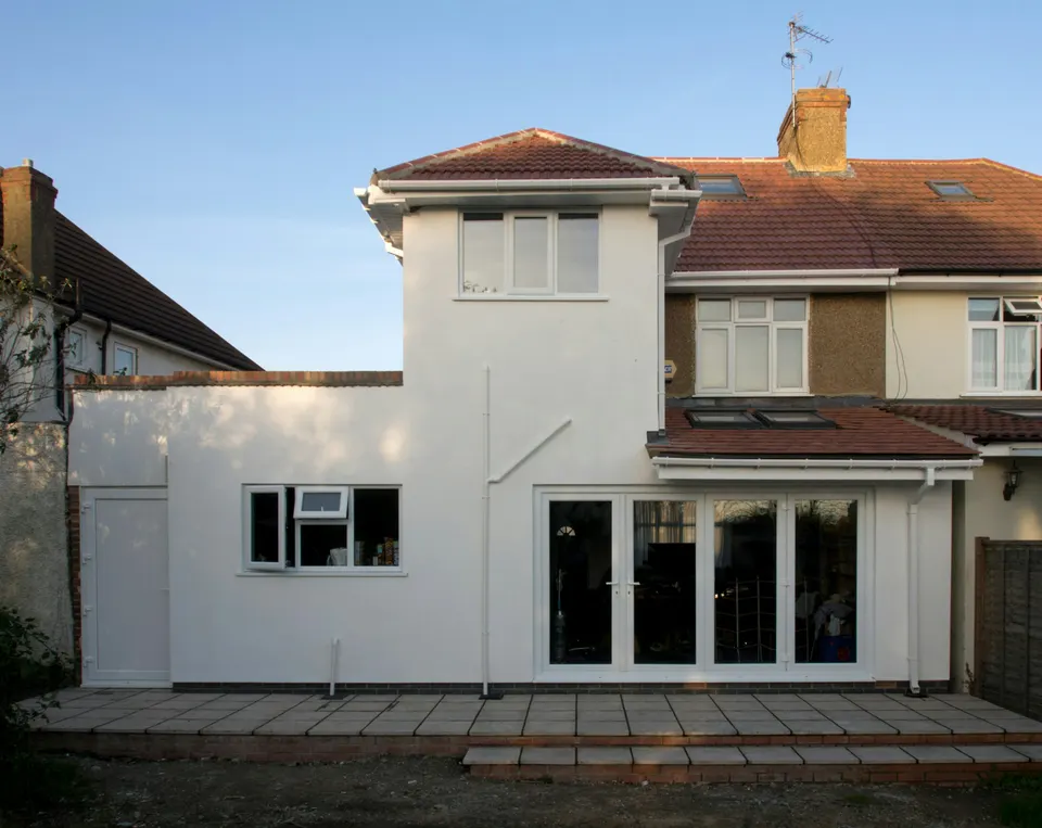
Trees, Article 4 and the Kingston map
The tree count is the first thing to understand. The council's data holds 7,145 tree preservation zones, a very large count, and a protected tree in a rear garden can fix how far a wraparound extends. We locate trees on the survey and set root protection areas before the layout is agreed.
Article 4 is subtler. The council publishes 3 directions, but they are mapped as 114 separate areas, so one direction can cover several separate areas. Alongside 28 conservation areas and 163 list entries, and Green Belt over about 17% of the borough, the address check is the opening step.
Because a wraparound includes a side element, the national permitted development rights cannot be used in a conservation area, so a full application follows.
Local figures for Kingston upon Thames
| Measure | Value | Period | Source |
|---|---|---|---|
| Conservation areas | 28 named conservation areas published by the council | — | planning.data.gov.uk |
| Green Belt share of the council area | 17 % of council area covered by green-belt polygons | — | planning.data.gov.uk |
| Article 4 directions | 3 Article 4 directions published by the council | — | planning.data.gov.uk |
| Article 4 direction areas | 114 Article 4 direction area polygons published by the council | — | planning.data.gov.uk |
| Tree preservation zones | 7,145 tree preservation zone polygons published by the council | — | planning.data.gov.uk |
| Listed building entries | 163 list entries (Historic England, within the LPA boundary) | — | planning.data.gov.uk |
| Householder decisions | 742 decisions | 1 July 2025 - 30 June 2026 | assets.publishing.service.gov.uk |
| Householder applications granted | 83 % | 1 July 2025 - 30 June 2026 | assets.publishing.service.gov.uk |
| Householder applications decided in time | 92.5 % decided within 8 weeks or an agreed extended period | 1 July 2025 - 30 June 2026 | assets.publishing.service.gov.uk |
| Households living in a house | 61.5 % of households living in a house or bungalow (detached, semi-detached or terraced) | Census 2021 | nomisweb.co.uk |
| Supplementary planning document | Residential Design SPD | 2013 | kingston.gov.uk |
| Householder: alterations/extensions to a single dwellinghouse, from 1 Apr 2026 | 548 GBP | — | ribblevalley.gov.uk |
A blank value means the figure has not been published, not that there are none. Check your own address with the council.
Single-storey rear extension: the permitted development limits
The house in section with a rear extension; the dashed lines mark the zone near the boundary.
- A · Depth beyond the original rear wall
- 3 m (attached) / 4 m (detached) beyond the original rear wall, single storey
- B · Maximum height
- 4 m
- C · Within the zone near the boundary
- Eaves no higher than 3 m where within 2 m of the curtilage boundary
- D · Larger extension under prior approval
- 6 m (attached) / 8 m (detached), single storey, height max 4 m; not on article 2(3) land or an SSSI
Policy: an older plan and a design SPD
Kingston still works from Core Strategy (with Kingston Town Centre Area Action Plan 2008), adopted in 2,012, and its design guide is the Residential Design SPD. With an older plan, recent decisions on your own street are useful evidence, so we search recent approvals before drawing.
We draw to that guide with extensions kept subordinate to the host house and in keeping with the street. For a wraparound that means a lower roof than the main house, a side arm set back from the front, and materials that match.
What the prior approval figures say
Larger home extension prior approvals were granted only 3 times and refused 35 times in the latest return year, a sharp tilt towards refusal. The route lets adjoining neighbours object, and the council then judges the effect on their amenity.
Householder applications fare better: 83% of 742 decisions were granted and 92.5% were decided in time. The lesson for a wraparound is simple. A full application at £548 lets the whole design be judged on its merits, unlike the prior approval route, and a wraparound with a side arm is outside that route in any case.
Where the scheme fits the national limits, a Lawful Development Certificate is an option; the borough handled 220 in its latest return year.
Design choices that protect trees and neighbours
Near a protected tree the wraparound shape often changes. The rear arm may shorten, or step in around the root zone, and the side arm may become the larger part. Where roots forbid conventional strip foundations, a piled or beam-and-pile base keeps the ground undisturbed, and we agree it with a structural engineer before the planning drawings are fixed.
Neighbours matter equally. Kingston officers weigh outlook and daylight at the neighbouring windows, so we set the boundary eaves height low, keep the rear arm's depth modest on terraces, and show the effect on the neighbour's light in a short section. If the neighbour has already extended, we draw the relationship to their wall, because a mismatch there is the quickest route to an objection.
These choices cost little at the drawing stage and a great deal once the planning decision, or the site, has gone wrong.
Housing, gardens and levy
61.5% of households live in a house or bungalow, 60.9% own their home, and the average price is £591,555. Domestic gardens account for 30.9% of the borough's land, which gives many plots the depth to take a rear arm, with the side arm as the sensitive part.
Borough CIL runs in zones, from £323.07/m² (Zone 1); £200/m² (Zone 2); £130.76/m² (Zone 3); £76.92/m² (Zone 4), with Mayoral CIL band 2 at £72.73 per square metre indexed. Levies generally apply to larger additions only, and we check liability on the measured floor area.
Drawings, neighbours and next steps
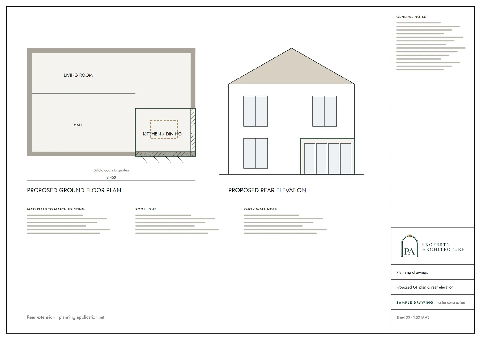
The set includes existing and proposed plans, elevations, sections, a roof plan, a location plan and a block plan. To compare, see rear extension drawings in Kingston upon Thames, a simpler scheme with less effect on the neighbours.
Neighbours will receive party wall notices on the shared boundaries, and our wider work is described at architectural drawings in Kingston upon Thames. If the council asks for changes before it decides, we redraw them free of charge.
What you receive
Related pages
Other services in Kingston upon Thames
Questions
How many tree preservation zones does Kingston have?
The council's data holds 7,145 zones. A protected tree can limit how far a wraparound extends.
Why does Kingston refuse so many prior approvals?
35 were refused against 3 granted in the latest return year. The route turns on objections from adjoining neighbours.
Which Kingston guidance covers extensions?
The Residential Design SPD, with Core Strategy (with Kingston Town Centre Area Action Plan 2008).
Can I reduce the risk of a neighbour objection?
Yes. Keep the boundary eaves low, show the effect on their windows in section, speak to them before the party wall letters arrive, and draw the relationship to any extension they already have.
Is a wraparound allowed in the Green Belt parts of Kingston?
It can be, but the test is proportionality to the original house, so earlier extensions count. We total the existing and proposed floor area and state the change in the design statement.
What do the drawings cost?
From £1,195 including VAT, plus the council's £548 fee.
Sources and dates
- planning.data.gov.uk, retrieved
- planning.data.gov.uk, retrieved
- planning.data.gov.uk, retrieved
- planning.data.gov.uk, retrieved
- planning.data.gov.uk, retrieved
- planning.data.gov.uk, retrieved
- assets.publishing.service.gov.uk, retrieved
- nomisweb.co.uk, retrieved
- kingston.gov.uk, retrieved
- ribblevalley.gov.uk, retrieved
- kingston.gov.uk, retrieved
- assets.publishing.service.gov.uk, retrieved
- nomisweb.co.uk, retrieved
- publicdata.landregistry.gov.uk, retrieved
- data.london.gov.uk, retrieved
- kingston.gov.uk, retrieved
- london.gov.uk, retrieved
- london.gov.uk, retrieved
- legislation.gov.uk, retrieved
- Contains public sector information licensed under the Open Government Licence v3.0.
- Contains OS data © Crown copyright and database right 2026.
- Contains HM Land Registry data © Crown copyright and database right 2026. This data is licensed under the Open Government Licence v3.0.
- Contains Historic England data © Historic England 2026. Contains Ordnance Survey data © Crown copyright and database right 2026.

Tell us about your property.
We check the constraints, then send a fixed fee. Messages before 3pm get a reply the same working day.