
Tandridge, Surrey
Architectural drawings in Tandridge
Tandridge is 94 per cent green belt and carries 45 Article 4 directions, so permitted development is the exception on many of its roads. We are MCIAT chartered architectural technologists, and we draw for homes in Caterham, Oxted, Warlingham, Lingfield and Godstone from £745 including VAT. A free check of your address comes first.
Fixed quote after a free constraints check
- MCIAT chartered
- £2m PI insured
- LABC Partnered
- Fixed fees, VAT included
Request a fixed quote
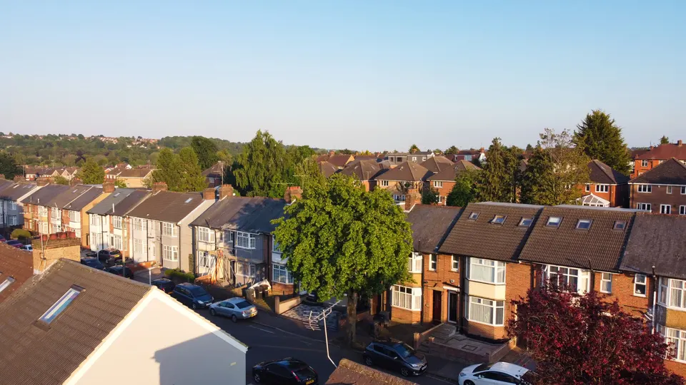
Tandridge in numbers
| Measure | Value | Period | Source |
|---|---|---|---|
| Green Belt share of the council area | 94 % of council area covered by green-belt polygons | — | planning.data.gov.uk |
| Article 4 directions | 45 Article 4 directions published by the council | — | planning.data.gov.uk |
| Article 4 direction areas | 50 Article 4 direction area polygons published by the council | — | planning.data.gov.uk |
| Conservation areas | 19 named conservation areas published by the council | — | planning.data.gov.uk |
| Listed building entries | 605 list entries (Historic England, within the LPA boundary) | — | planning.data.gov.uk |
| Tree preservation orders | 792 tree preservation orders published by the council | — | planning.data.gov.uk |
| Householder decisions | 424 decisions | 1 July 2025 - 30 June 2026 | assets.publishing.service.gov.uk |
| Householder applications granted | 89.9 % | 1 July 2025 - 30 June 2026 | assets.publishing.service.gov.uk |
| Householder applications decided in time | 95 % decided within 8 weeks or an agreed extended period | 1 July 2025 - 30 June 2026 | assets.publishing.service.gov.uk |
| Households living in a house | 77.1 % of households living in a house or bungalow (detached, semi-detached or terraced) | Census 2021 | nomisweb.co.uk |
| Average price, detached | 868,641 GBP | 2026-07 | publicdata.landregistry.gov.uk |
| Local plan | Tandridge District Core Strategy 2008 and Tandridge Local Plan Part 2: Detailed Policies 2014-2029 | — | tandridge.gov.uk |
| Supplementary planning document | Harestone Design Guidance SPD | — | tandridge.gov.uk |
A blank value means the figure has not been published, not that there are none. Check your own address with the council.
Constraints check: Tandridge
What we check first on any Tandridge address. Counts are for the whole council area.
- A · Conservation areas
- 19 named conservation areas published by the council
- B · Article 4 directions
- 45 Article 4 directions published by the council
- C · Listed building entries
- 605 list entries (Historic England, within the LPA boundary)
What the district's planning documents say
Tandridge works from the Tandridge District Core Strategy 2008 and Tandridge Local Plan Part 2: Detailed Policies 2014-2029. The Core Strategy dates from 2,008, before the National Planning Policy Framework existed, and the council has begun a fresh plan. We therefore read each application against the national framework as well as the district's own policies.
The district has no single householder extensions guide. Instead it publishes area guidance for particular places, among them the Harestone Design Guidance SPD and the Woldingham Design Guidance SPD. If your home is outside those areas, officers lean on general design policy and village design statements.
That makes presentation important. We draw the neighbouring properties and levels on every elevation, because the way a roof sits against its neighbours often decides the case.
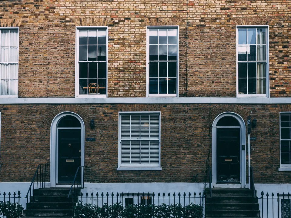
Article 4 directions, conservation areas and listed houses
The council publishes 45 Article 4 directions across 50 mapped areas, a large number. They remove rights such as altering a front elevation or enclosing a frontage, so a job that is permitted development one street away may need an application here.
There are also 19 conservation areas. Historic England lists 605 entries, including 20 at Grade I, 52 at Grade II* and 532 at Grade II, plus 24 scheduled monuments and 3 registered parks and gardens.
Trees add a further layer. The council has made 792 tree preservation orders, and a protected oak can fix the footprint of a new extension.
Open land and what it allows
With 94 per cent of the district in the green belt, nearly every rural house is subject to the rule that additions must not be disproportionate to the original building. Original means the house as first built or as it stood on the national cut-off date, so earlier extensions count against you.
We measure and record the existing floor area and volume at the start, and we tell you what remains before you commit to a design.
Who lives in Tandridge
The Census counted 35,623 households, with 77.1 per cent in a house or bungalow and 74.5 per cent owner-occupied. That suits extensions and lofts.
The average detached home sold for £868,641 and the average terraced home for £394,274. Prices moved by -5 per cent over twelve months, so some owners weigh extending against selling.
How the district decides householder cases
The council decided 424 householder applications in its latest year, granting 89.9 per cent, with 95 per cent decided within eight weeks or an agreed extension. Those are historic totals across the district.
For larger rear extensions under prior approval, the returns show 7 granted and 8 refused, and 151 lawful development certificates were issued.
The charging schedule is the Tandridge District Council CIL Charging Schedule, which sets a single district-wide residential rate of £200.84/m² (all residential development; schedule rate £120/m²) for the current year. We flag any liability in our hand-over pack.
Sloping sites, woodland and village character
Parts of the district rise on to the North Downs, so many plots slope and many houses sit among trees. A level survey is therefore more than a formality: floor levels, ridge heights and neighbours' windows all depend on it.
We include spot heights and a cross-section through the plot in most Tandridge packages. They show how much a rear extension would rise above the garden, and they answer the first question a neighbour raises.
Village design statements and the area design guidance both ask for local materials and modest scale. Our elevations list materials explicitly, so officers can see how a scheme picks up the colours and finishes nearby.
Reading a refusal before it happens
Where a district has fewer written rules, applicants often learn about the real tests only at the decision stage. We try to move that learning earlier by studying officer reports on nearby schemes in the council's online planning search.
Two or three comparable cases usually reveal what the council will tolerate on roof height, side gaps and window positions. We summarise them in plain English at the start and let them steer the first sketch.
Costs and the order of work
Most owners ask what to do first. Our usual order is the address check, the survey, a sketch scheme, the planning set and then the technical drawings for building control. You can stop after any stage.
Specialist input can add to the list. A protected tree may call for an arboricultural report, and a rural plot may need an ecology survey. We flag the likelihood at the start so the budget and the timetable are realistic.
Architectural drawings in Tandridge: how we can help
A typical project begins with planning drawings in Tandridge. Where you suspect your rights remain, a Lawful Development Certificate in Tandridge confirms them.
Many owners then add a loft conversion drawings set in Tandridge or a rear extension drawings set in Tandridge. Neighbouring areas are covered on our pages for Croydon, Bromley and Sevenoaks.
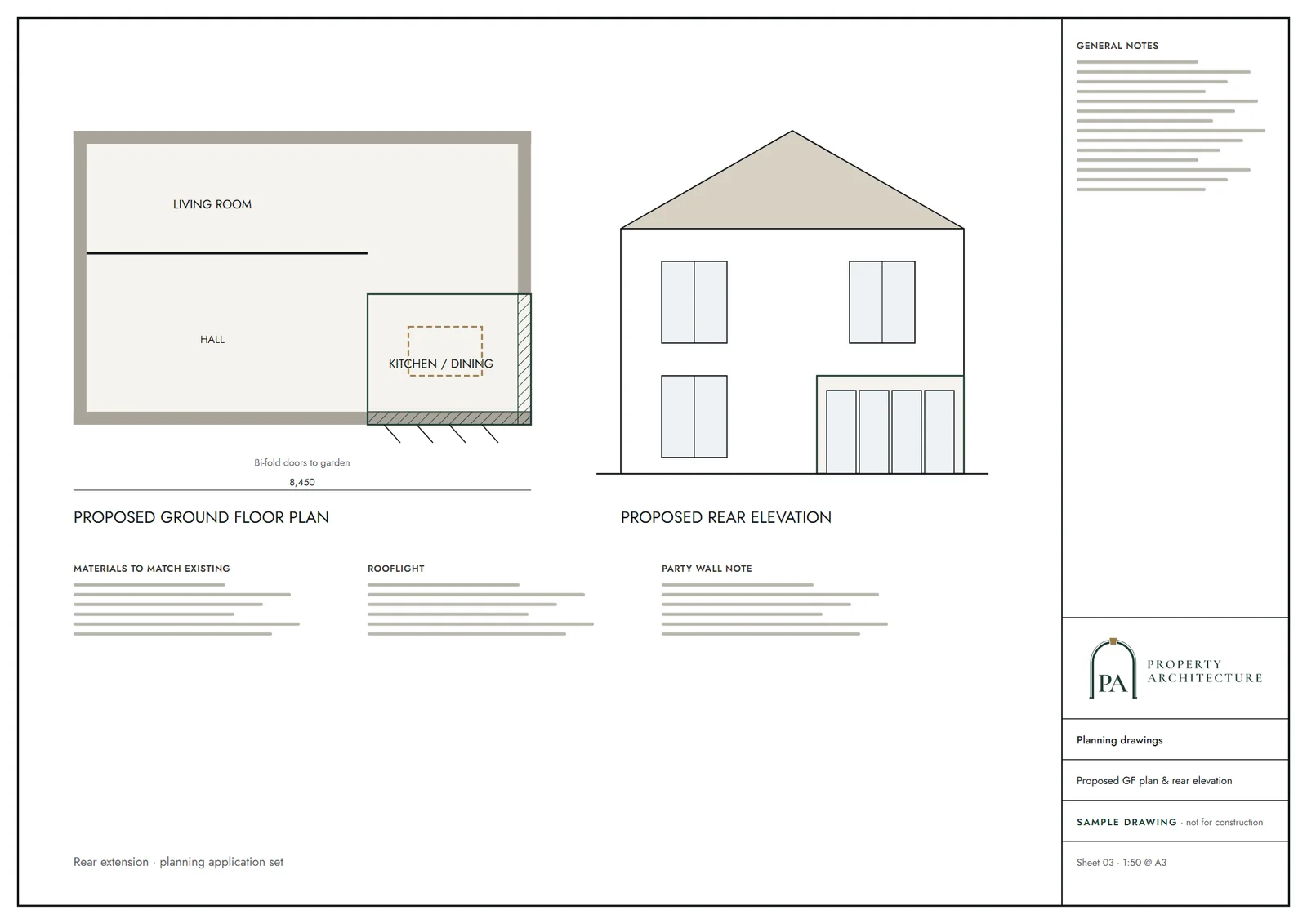
What you receive
Questions
Do I need planning permission for a house extension in Tandridge?
Often. With 45 Article 4 directions and 94 per cent green belt, permitted development is limited across the district. Send us the address and we confirm the route first.
How much do architectural drawings cost in Tandridge?
Householder planning drawings start at £745 including VAT, fixed and published. The council's own fee is paid to the council separately.
Does Tandridge have a guide for house extensions?
Not district-wide. It publishes area guidance such as the Harestone Design Guidance SPD and the Woldingham Design Guidance SPD, and we apply general design policy elsewhere.
Do tree preservation orders affect my extension?
They can. The council has made 792 orders, and we plot protected trees and root zones on the survey.
Sources and dates
- planning.data.gov.uk, retrieved
- planning.data.gov.uk, retrieved
- planning.data.gov.uk, retrieved
- planning.data.gov.uk, retrieved
- planning.data.gov.uk, retrieved
- planning.data.gov.uk, retrieved
- assets.publishing.service.gov.uk, retrieved
- nomisweb.co.uk, retrieved
- publicdata.landregistry.gov.uk, retrieved
- tandridge.gov.uk, retrieved
- tandridge.gov.uk, retrieved
- planning.data.gov.uk, retrieved
- planning.data.gov.uk, retrieved
- nomisweb.co.uk, retrieved
- nomisweb.co.uk, retrieved
- assets.publishing.service.gov.uk, retrieved
- tandridge.gov.uk, retrieved
- tandridge.gov.uk, retrieved
- Contains public sector information licensed under the Open Government Licence v3.0.
- Contains OS data © Crown copyright and database right 2026.
- Contains HM Land Registry data © Crown copyright and database right 2026. This data is licensed under the Open Government Licence v3.0.
- Contains Historic England data © Historic England 2026. Contains Ordnance Survey data © Crown copyright and database right 2026.

Tell us about your property.
We check the constraints, then send a fixed fee. Messages before 3pm get a reply the same working day.